topographic infrastructure
advertisement
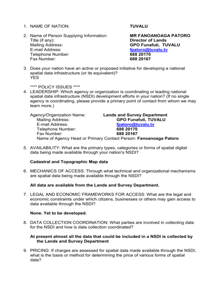
1. NAME OF NATION: TUVALU 2. Name of Person Supplying Information: Title (if any): Mailing Address: E-mail Address: Telephone Number: Fax Number: MR FANOANOAGA PATORO Director of Lands GPO Funafuti, TUVALU fpatoro@tuvalu.tv 688 20170 688 20167 3. Does your nation have an active or proposed initiative for developing a national spatial data infrastructure (or its equivalent)? YES **** POLICY ISSUES **** 4. LEADERSHIP: Which agency or organization is coordinating or leading national spatial data infrastructure (NSDI) development efforts in your nation? (If no single agency is coordinating, please provide a primary point of contact from whom we may learn more.) Agency/Organization Name: Lands and Survey Department Mailing Address: GPO Funafuti, TUVALU E-mail Address: fpatoro@tuvalu.tv Telephone Number: 688 20170 Fax Number: 688 20167 Name of Agency Head or Primary Contact Person: Fanoanoaga Patoro 5. AVAILABILITY: What are the primary types, categories or forms of spatial digital data being made available through your nation's NSDI? Cadastral and Topographic Map data 6. MECHANICS OF ACCESS: Through what technical and organizational mechanisms are spatial data being made available through the NSDI? All data are available from the Lands and Survey Department. 7. LEGAL AND ECONOMIC FRAMEWORKS FOR ACCESS: What are the legal and economic constraints under which citizens, businesses or others may gain access to data available through the NSDI? None. Yet to be developed. 8. DATA COLLECTION COORDINATION: What parties are involved in collecting data for the NSDI and how is data collection coordinated? At present almost all the data that could be included in a NSDI is collected by the Lands and Survey Department 9. PRICING: If charges are assessed for spatial data made available through the NSDI, what is the basis or method for determining the price of various forms of spatial data? Yet to be determined 10. COMMERCIAL INVOLVEMENT: Please describe how private commercial firms are involved in helping to build the NSDI. No commercial involvement at present. 11. PUBLIC DOMAIN DATA SETS: Please describe those digital spatial data sets for jurisdictions within your nation that are available to anyone without any licensing or intellectual property restrictions imposed on the data sets and the data sets are available at no cost or little cost. How may copies be acquired of these public domain data sets? Cadastral information. Hard copy plans are available at low cost. As yet there is little or no demand for data in digital form. 12. PUBLIC GOODS ASPECTS OF NSDI: Please describe any additional services or goods provided by government in support of the NSDI for which individual users are not charged. Free enquiry service in relation to lands information and topographic maps. 13. PRIVACY: Please describe how the information privacy of individual citizens is protected relative to data that may be accessed through the NSDI. The data currently held is completely open to public secrutiny. **** OPERATIONAL ISSUES **** 14. AUTHORITY: Do the laws or formal orders of any legislative or executive branches of government explicitly recognize the need to establish or further develop the NSDI? NO 15. FUNDING: Have funds been specifically budgeted and acquired for NSDI activities? No fund has yet been secured specifically for this purpose. However, the department have several projects which are in the pipeline whose objectives facilitates the NSDI initiative. . 16. INCLUSIVENESS: Please describe the types and extent of participants involved in building the NSDI and their roles. For a start only staffs of the Lands and Survey Department will be directly involved in this project. 17. COMPONENTS: Please indicate whether the vision of an NSDI for your nation incorporates the following components or concepts. A. METADATA YES B. CLEARINGHOUSE NO C. DATA STANDARDS YES D. CORE DATA YES 18. RESEARCH: Have funds been specifically budgeted and spent on research projects to advance NSDI concepts? NO 19. LINKAGE TO GENERAL INFORMATION TECHNOLOGY STANDARDS - Which international or national information and communication technology standards has the NSDI adopted? None 20. GLOBAL SPATIAL DATASETS: Does your NSDI provide access to spatial datasets with global coverage? NO 21. GLOBAL OR REGIONAL INFRASTRUCTURE INITIATIVES: Is your NSDI formally affiliated with or connected to any global or regional spatial data infrastructure initiatives? YES If YES, which initiative(s)? We hope to participate in APRGP2000 and are also participating in the GSDI Conference. 22. LONG TERM VISION OR STRATEGIC PLAN: Has a long term vision statement or strategic plan been developed for your country's NSDI? NO 23. GRAND CHALLENGES: Name one of the most pressing challenges for NSDI development in your nation. Limited access to appropriate resources 24. FURTHER INFORMATION: If an NSDI WEB SITE exists where information about NSDI efforts in your nation may be found in the future, please provide the web site address. If brochures are other written materials exist describing NSDI efforts in your nation, please provide an address for requesting copies of these materials. If a user requirements analysis or cost-benefits analysis was undertaken to estimate the benefits of building a spatial data infrastructure for your country, please provide an address for requesting a copy. Information available from: Lands and Survey Department GPO Box, Funafuti TUVALU
