100 Things to Know for the Earth Science Regents
advertisement
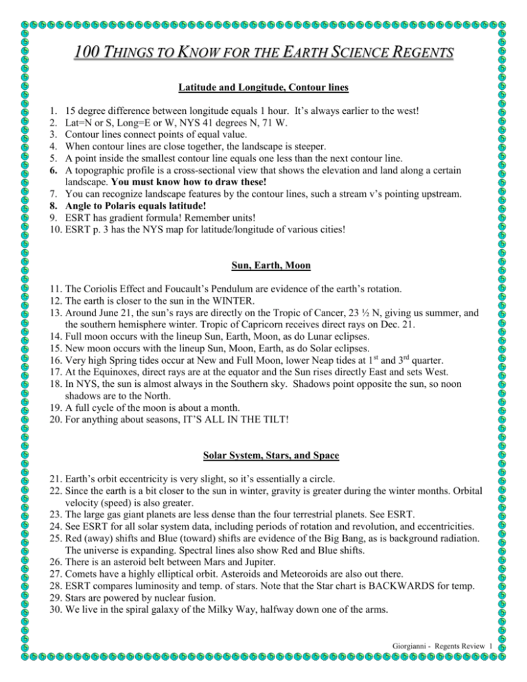
100 THINGS TO KNOW FOR THE EARTH SCIENCE REGENTS Latitude and Longitude, Contour lines 15 degree difference between longitude equals 1 hour. It’s always earlier to the west! Lat=N or S, Long=E or W, NYS 41 degrees N, 71 W. Contour lines connect points of equal value. When contour lines are close together, the landscape is steeper. A point inside the smallest contour line equals one less than the next contour line. A topographic profile is a cross-sectional view that shows the elevation and land along a certain landscape. You must know how to draw these! 7. You can recognize landscape features by the contour lines, such a stream v’s pointing upstream. 8. Angle to Polaris equals latitude! 9. ESRT has gradient formula! Remember units! 10. ESRT p. 3 has the NYS map for latitude/longitude of various cities! 1. 2. 3. 4. 5. 6. Sun, Earth, Moon 11. The Coriolis Effect and Foucault’s Pendulum are evidence of the earth’s rotation. 12. The earth is closer to the sun in the WINTER. 13. Around June 21, the sun’s rays are directly on the Tropic of Cancer, 23 ½ N, giving us summer, and the southern hemisphere winter. Tropic of Capricorn receives direct rays on Dec. 21. 14. Full moon occurs with the lineup Sun, Earth, Moon, as do Lunar eclipses. 15. New moon occurs with the lineup Sun, Moon, Earth, as do Solar eclipses. 16. Very high Spring tides occur at New and Full Moon, lower Neap tides at 1st and 3rd quarter. 17. At the Equinoxes, direct rays are at the equator and the Sun rises directly East and sets West. 18. In NYS, the sun is almost always in the Southern sky. Shadows point opposite the sun, so noon shadows are to the North. 19. A full cycle of the moon is about a month. 20. For anything about seasons, IT’S ALL IN THE TILT! Solar System, Stars, and Space 21. Earth’s orbit eccentricity is very slight, so it’s essentially a circle. 22. Since the earth is a bit closer to the sun in winter, gravity is greater during the winter months. Orbital velocity (speed) is also greater. 23. The large gas giant planets are less dense than the four terrestrial planets. See ESRT. 24. See ESRT for all solar system data, including periods of rotation and revolution, and eccentricities. 25. Red (away) shifts and Blue (toward) shifts are evidence of the Big Bang, as is background radiation. The universe is expanding. Spectral lines also show Red and Blue shifts. 26. There is an asteroid belt between Mars and Jupiter. 27. Comets have a highly elliptical orbit. Asteroids and Meteoroids are also out there. 28. ESRT compares luminosity and temp. of stars. Note that the Star chart is BACKWARDS for temp. 29. Stars are powered by nuclear fusion. 30. We live in the spiral galaxy of the Milky Way, halfway down one of the arms. Giorgianni - Regents Review 1 Minerals and Rocks 31. Minerals are identified by color, luster, streak, and crystal structure. 32. Cleavage is determined by the internal arrangement of atoms. 33. Density is Mass/Volume, and helps determine the identity of a mineral. V=M /D. 34. The hardness of glass is about 5.5 35. The last page of ESRT has a mineral chart, including characteristics and uses of minerals. 36. Note that the chart is divided into metallic and non-metallic minerals. 37. Igneous rocks solidify from molten material, quickly with small or invisible crystals at the surface (extrusive) or larger crystals inside the earth, (intrusive). 38. Igneous minerals are Mafic (dark) or felsic (light). See ESRT. 39. Sedimentary rocks are formed from various sized sediments, and are classified on ESRT. 40. Some Sedimentary rocks are biological or chemical in origin. 41. Deposition of various sediments, and therefore the formation of rocks, relates to water velocity. 42. Obsidian is a glassy FELSIC igneous rock formed quickly at the earth’s surface. Pumice also forms this way, with air pockets within. 43. Recrystallization and foliation are terms associated with metamorphic rocks. 44. Metamorphic rocks are sometimes banded or very dense. 45. Metamorphic rocks form from Heat and Pressure, either very deep within the earth (regional) or in contact with igneous intrusions (contact). 46. It’s very important that you can use the rock ESRT’s for the three types. 47. There is also a rock cycle ESRT, showing how rocks can change from one type to another. 48. The only type of rock that contains fossils is sedimentary. 49. Parent rocks are the rock type from which a metamorphic rock comes from. Again, read ESRT! Plate Tectonics 50. Earthquakes and volcanoes occur at plate boundaries, like the Ring of Fire. 51. Convection depends upon Density. Warmer air is less dense and rises. 52. Convection drives MANY things, such as atmospheric movement and convection in the mantle causing Plate movements. 53. Rising heat from convection pulls apart the plates at divergent boundaries. Plates submerge or collide at convergent boundaries. 54. Volcanoes occur at hot spots, example, Hawaii. That plate is moving to the NW, as seen by age of islands. 55. The focus is where an earthquake occurs underground when plates rub against each other. The epicenter is directly above it. 56. P-waves move faster than S-waves. S-waves don’t move through liquids, so we know the outer core is liquid. ESRT has a great chart showing a cross-section of earth. 57. If you know the difference in arrival time of the P and S waves, you can “slide” to the distance on ESRT. 58. If you know the distance, you can read the travel time of either P or S wave. 59. If you know the travel time, you can subtract that from arrival time to get origin time. 60. The denser, mafic ocean crust sits lower in the mantle than the felsic, granitic continental crust. 61. The mantle is like silly putty, with the plates riding on it. We know this from earthquake wave data. Giorgianni - Regents Review 2 Weathering and Erosion 62. WEATHERING is BREAKDOWN of earth materials, and is either chemical or physical. 63. EROSION is when materials MOVE, by gravity, wind, water, or ice. 64. Abrasion and frost action are examples of physical weathering. Chemical weathering is more dominant in warm, humid climates. 65. Glaciers leave a U-shaped valley, rivers a v-shaped valley. 66. Glaciers also leave unsorted sediments, striations, erratic boulders, and drumlins. 67. Stream deposition occurs because of water velocity differences, with the slowest water depositing the smallest sediments. Deposition may be vertical or horizontal. 68. Most of NYS is made up of Sedimentary rock, with the Adirondacks being metamorphic and Long Island being glacially deposited mixtures of loose sediments. 69. NYS landscapes are either high, mid (plateau) or low elevation. 70. Erosion is dominant on the outer curve of stream, deposition, inner. Meanders develop over time. Flood plains are wide, flat areas in which streams flow. 71. Wind erosion leaves surfaces frosted and pitted. Water in the Ground 72. Water flows through soils down into the zone of saturation. Wells must be drilled into this zone. 73. Capillary action draws water up. 74. ALL SOIL PARTICLE SIZES HAVE THE SAME POROSITY. 75. Smaller sized sediments have greater capillarity. 76. Shape, packing, and mixture of sizes can all affect permeability and porosity. 77. When rainfall exceeds permeability, runoff occurs. 78. Infiltration is water flowing into the soil. Geologic History 79. The earth is approximately 4.6 billion years old, which is approximately the same as the half-life of Uranium. 80. The Geologic Time scale is based on fossil evidence. So is the theory of Evolution. 81. The Precambrian Era is sooo long compared to the others. The Cenozoic is pretty darn short. Humans have been around for far less the 1% of Earth History. 82. Half-life means the amount of time it takes for half of a sample of radioactive atoms to decay. Can you solve problems on this, and understand line, pie, or bar graphs? 81. Index fossils exist for a SHORT period of time, over a WIDE area. Weather 82. High pressure systems spin clockwise and outward, away from the high pressure in the center. Highpressure weather is clear and cold and dry. 83. Low pressure systems spin counterclockwise and inward, with low pressure in the center. Lows bring rain, with the CLASSIC cold front down from north to south, warm front across from east to west. Cold air is more dense, lifting warm, moist air up, which causes condensation and rain! Giorgianni - Regents Review 3 More Weather 84. Dry air is HEAVIER and has higher pressure than humid air. 85. When air temperature and dew point temperature meet IT RAINS! 86. WARM, LOW PRESSURE air rises, expands, cools, and condenses. When dew point is reached, clouds form. Fog is a cloud on the ground! 87. Station models have numbers all around them, and you can figure out what’s what using ESRT. 88. ESRT also has charts for dew point and relative humidity. Remember to take the DIFFERENCE BETWEEN WET AND DRY BULB TEMPS! 83. ESRT also has charts to convert temperature from Celsius to Fahrenheit, and pressure from millibars to inches of mercury. 84. Front symbols are on ESRT, as are the codes cP, mT, etc. C does NOT stand for cold, but for continental, which means dry. M is for maritime, meaning the air mass formed over an ocean. 85. Lake effect snow occurs when moist air masses flow west over Lake Erie or Ontario, hit the colder ground, and dump SNOW! 86. Wind always blows from high to low pressure. This is the basis for Sea breezes during the day (Cooler, high pressure air over the water into the land) and land breezes at night (Cooler, high pressure air over the land toward the water.) Climate 87. SOIL HEATS FASTER THAN WATER, causing coastal climates to have warmer winters and cooler summers. Dark and rough surfaces absorb more than light and smooth. If a surface absorbs heat easily, it radiates heat easily. 88. Most weather moves from the southwest to the northeast, on the prevailing winds, which occur globally, See ESRT. 89. The greater the angle of insolation, the higher the temperature. 90. Air rises over a mountain, causing the windward side to receive more precipitation. 91. Latitude, Altitude, Mountains, Coasts, Prevailing Winds, and ocean Currents all affect Climate. 92. The Greenhouse Effect is intensified by large amounts of CO2, which have risen as deforestation and burning of fossil fuels has increased. 93. Acid rain can be carried by prevailing winds. 94. Nearness to water keeps climate from changing too much; keeps it warmer in winter and cooler in summer. General 95. An inverse relationship looks like this \ and indicates that the factors being measured are going in opposite directions. 96. A direct relationship looks like this / and indicates that the factors being measured are going in the same direction. 97. The multiple choice questions often give you graphs, diagrams and key ideas for the short answer questions. 98. Read the questions carefully and look for key words like increasing, decreasing, not, and excluding. 99. Look at graphs and diagrams – the answer is often right in front of you. 100. USE THE ESRT EVERY CHANCE YOU GET! Giorgianni - Regents Review 4
