Chapter 24 worksheet
advertisement
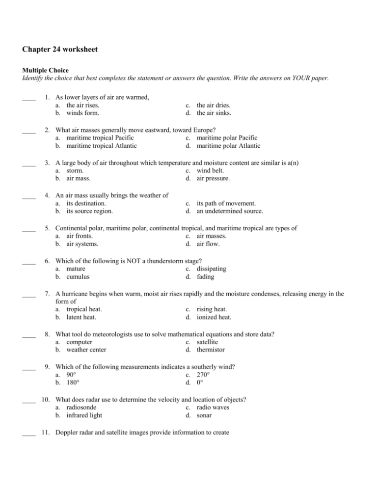
Chapter 24 worksheet Multiple Choice Identify the choice that best completes the statement or answers the question. Write the answers on YOUR paper. ____ 1. As lower layers of air are warmed, a. the air rises. b. winds form. c. the air dries. d. the air sinks. ____ 2. What air masses generally move eastward, toward Europe? a. maritime tropical Pacific c. maritime polar Pacific b. maritime tropical Atlantic d. maritime polar Atlantic ____ 3. A large body of air throughout which temperature and moisture content are similar is a(n) a. storm. c. wind belt. b. air mass. d. air pressure. ____ 4. An air mass usually brings the weather of a. its destination. b. its source region. c. its path of movement. d. an undetermined source. ____ 5. Continental polar, maritime polar, continental tropical, and maritime tropical are types of a. air fronts. c. air masses. b. air systems. d. air flow. ____ 6. Which of the following is NOT a thunderstorm stage? a. mature c. dissipating b. cumulus d. fading ____ 7. A hurricane begins when warm, moist air rises rapidly and the moisture condenses, releasing energy in the form of a. tropical heat. c. rising heat. b. latent heat. d. ionized heat. ____ 8. What tool do meteorologists use to solve mathematical equations and store data? a. computer c. satellite b. weather center d. thermistor ____ 9. Which of the following measurements indicates a southerly wind? a. 90° c. 270° b. 180° d. 0° ____ 10. What does radar use to determine the velocity and location of objects? a. radiosonde c. radio waves b. infrared light d. sonar ____ 11. Doppler radar and satellite images provide information to create a. station models. b. weather data. ____ 12. Weather stations report data to a. the WMO. b. collection centers. c. weather models. d. regional data. c. the United Nations. d. the World Weather Watch. ____ 13. Which of the following types of weather have meteorologists tried to control with freezing nuclei? a. tornadoes c. hurricanes b. lightning d. thunder ____ 14. A pattern of meteorological symbols that represent the weather at a particular observing station is a a. weather station. c. satellite image. b. station model. d. weather site. ____ 15. When air moves slowly, it takes on the temperature and humidity of its region, becoming a(n) a. occluded front. c. air mass. b. hurricane. d. storm surge. ____ 16. Which of the following is NOT a type of air mass? a. maritime continental c. maritime polar b. continental polar d. continental tropical ____ 17. What do weather centers all over the world do with the information they collect? a. use it only for local forecasts c. destroy it b. sell it to other nations d. exchange it with other centers ____ 18. What do scientists use to convey information on a weather map? a. computer codes c. colors and symbols b. states and capitals d. global and regional data ____ 19. Meteorologists have tried to control all of the following types of weather EXCEPT a. precipitation. c. hurricanes. b. cyclones. d. lightning. ____ 20. Which of the following is NOT a main type of air mass? a. continental polar c. maritime polar b. continental tropical d. midlatitude tropical ____ 21. Lines that connect points of equal temperature on a weather map are called a. isotherms. c. air masses. b. isobars. d. thermometers. ____ 22. Which of the following conditions is issued when severe weather has been spotted in a given area? a. warning c. watch b. forecast d. front ____ 23. An air mass that originates in the Pacific or Atlantic Ocean and brings warm, moist air is called a. continental polar. b. continental tropical. c. maritime polar. d. maritime tropical. ____ 24. An air mass that originates in the U.S. southwest and brings dry, warm air is called a. continental polar. c. maritime polar. b. continental tropical. d. maritime tropical. ____ 25. A front that forms when a cold air mass overtakes a warm air mass and lifts the warm air mass off the ground and over another air mass is called a(n) a. occluded front. c. stationary front. b. warm front. d. cold front.
