More information about the 2012 GES 105 offering.
advertisement
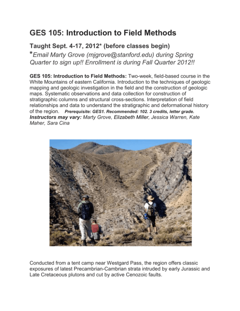
GES 105: Introduction to Field Methods Taught Sept. 4-17, 2012* (before classes begin) *Email Marty Grove (mjgrove@stanford.edu) during Spring Quarter to sign up!! Enrollment is during Fall Quarter 2012!! GES 105: Introduction to Field Methods: Two-week, field-based course in the White Mountains of eastern California. Introduction to the techniques of geologic mapping and geologic investigation in the field and the construction of geologic maps. Systematic observations and data collection for construction of stratigraphic columns and structural cross-sections. Interpretation of field relationships and data to understand the stratigraphic and deformational history of the region. Prerequisite: GES1. Recommended: 102. 3 credits, letter grade. Instructors may vary: Marty Grove, Elizabeth Miller, Jessica Warren, Kate Maher, Sara Cina Conducted from a tent camp near Westgard Pass, the region offers classic exposures of latest Precambrian-Cambrian strata intruded by early Jurassic and Late Cretaceous plutons and cut by active Cenozoic faults. THE GOALS OF THIS TWO-WEEK CLASS ARE: 1. To teach you the basic steps involved in collecting and recording a wide variety of data in the field and the various steps involved in producing a geologic map and constructing geological cross-sections from this data. More specialized techniques will be introduced during the course of the project. 2. To give you the beginning knowledge and confidence needed to conduct basic investigations and sampling in the field. 3. To use field-based data to critically evaluate ideas and interpretations proposed by previous workers regarding the geomorphologic, stratigraphic, structural, metamorphic, and intrusive relationships in the regions under consideration. Upon arriving in the field, you will be introduced to the stratigraphy of the region and the key rock units that will be studied and mapped at 1:6,000 scale. A wide variety of imagery (Digital orthophoto and ASTER imagery) together with topographic maps will be used as a base for these studies. Data collected during the day will be compiled each evening to produce individual geologic maps, cross-sections, map legends and concise geologic histories or summaries of the data. The field-based research may also serve as a platform and starting point for more detailed laboratory-based studies in our many analytical facilities. We welcome continued student participation in these later projects.


