Geologic Information, Phase I
advertisement
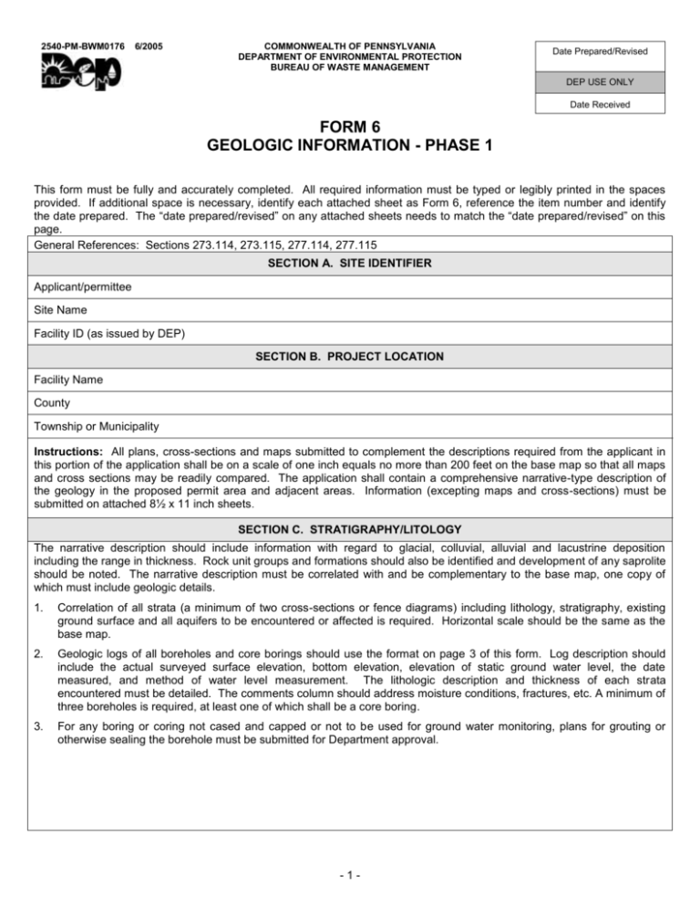
2540-PM-BWM0176 6/2005 COMMONWEALTH OF PENNSYLVANIA DEPARTMENT OF ENVIRONMENTAL PROTECTION BUREAU OF WASTE MANAGEMENT Date Prepared/Revised DEP USE ONLY Date Received FORM 6 GEOLOGIC INFORMATION - PHASE 1 This form must be fully and accurately completed. All required information must be typed or legibly printed in the spaces provided. If additional space is necessary, identify each attached sheet as Form 6, reference the item number and identify the date prepared. The “date prepared/revised” on any attached sheets needs to match the “date prepared/revised” on this page. General References: Sections 273.114, 273.115, 277.114, 277.115 SECTION A. SITE IDENTIFIER Applicant/permittee Site Name Facility ID (as issued by DEP) SECTION B. PROJECT LOCATION Facility Name County Township or Municipality Instructions: All plans, cross-sections and maps submitted to complement the descriptions required from the applicant in this portion of the application shall be on a scale of one inch equals no more than 200 feet on the base map so that all maps and cross sections may be readily compared. The application shall contain a comprehensive narrative-type description of the geology in the proposed permit area and adjacent areas. Information (excepting maps and cross-sections) must be submitted on attached 8½ x 11 inch sheets. SECTION C. STRATIGRAPHY/LITOLOGY The narrative description should include information with regard to glacial, colluvial, alluvial and lacustrine deposition including the range in thickness. Rock unit groups and formations should also be identified and development of any saprolite should be noted. The narrative description must be correlated with and be complementary to the base map, one copy of which must include geologic details. 1. Correlation of all strata (a minimum of two cross-sections or fence diagrams) including lithology, stratigraphy, existing ground surface and all aquifers to be encountered or affected is required. Horizontal scale should be the same as the base map. 2. Geologic logs of all boreholes and core borings should use the format on page 3 of this form. Log description should include the actual surveyed surface elevation, bottom elevation, elevation of static ground water level, the date measured, and method of water level measurement. The lithologic description and thickness of each strata encountered must be detailed. The comments column should address moisture conditions, fractures, etc. A minimum of three boreholes is required, at least one of which shall be a core boring. 3. For any boring or coring not cased and capped or not to be used for ground water monitoring, plans for grouting or otherwise sealing the borehole must be submitted for Department approval. -1- 2540 PM-BWM0176 6/2005 SECTION D. STRUCTURE Applicants must submit a 1 inch equals 200 feet geologic map with an adequate number of measurements to fully characterize the structural features of the proposed permit area. The locations of all bedding planes, jointing, cleavage and fault measurements must be shown on the map. All data should be based upon field measurements. The narrative must discuss the following: 1. Geologic structure within the proposed permit area in relation to regional geological structure. 2. Folding, fractures, joints, faults, bedding planes and their control on the movement of groundwater (spacing, width, filling and openness, etc.). 3. Local structure in detail (using cross sections to enhance the description). 4. Folding as it applies to the site, using cross sections (above) which should include a profile of the fold axis or axes (if any). a. Strike of the fold axis or axes. b. Plunge of axis or axes. 5. Location of the proposed site in relation to the local structure. -2- 2540-FM-BWM0176 6/2005 Borehole Number: Drilling Method: Surface Elevation (Ft./MSL): Borehole Diameter: (ft) Date Drilled: inches, From To Drilled By: inches, From To Drillers License Number: Total Depth: (ft) Logged By: Depth to Static Groundwater Level (SWL): (ft) County: Date SWL Measured: Depth (Ft) Lithologic Description (mm/dd/yy) (mm/dd/yy) Plot Township or Municipality: Groundwater Samples No. Rec** Observations* Att * ▽ Encountered Groundwater Comments Well/Piezometer Construction ▼ Composite Static Water Level Use additional sheets with this format as necessary -3- **Recovered/Attempted Depth (Ft)
