9. Applications - International Cartographic Association
advertisement
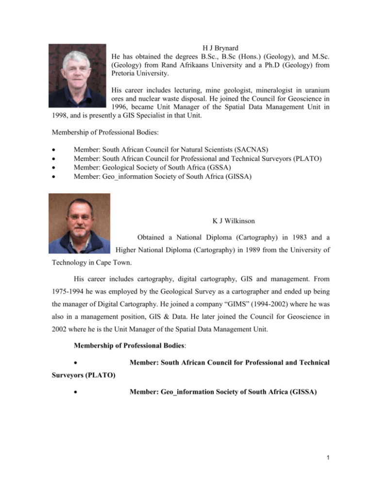
H J Brynard He has obtained the degrees B.Sc., B.Sc (Hons.) (Geology), and M.Sc. (Geology) from Rand Afrikaans University and a Ph.D (Geology) from Pretoria University. His career includes lecturing, mine geologist, mineralogist in uranium ores and nuclear waste disposal. He joined the Council for Geoscience in 1996, became Unit Manager of the Spatial Data Management Unit in 1998, and is presently a GIS Specialist in that Unit. Membership of Professional Bodies: Member: South African Council for Natural Scientists (SACNAS) Member: South African Council for Professional and Technical Surveyors (PLATO) Member: Geological Society of South Africa (GSSA) Member: Geo_information Society of South Africa (GISSA) K J Wilkinson Obtained a National Diploma (Cartography) in 1983 and a Higher National Diploma (Cartography) in 1989 from the University of Technology in Cape Town. His career includes cartography, digital cartography, GIS and management. From 1975-1994 he was employed by the Geological Survey as a cartographer and ended up being the manager of Digital Cartography. He joined a company “GIMS” (1994-2002) where he was also in a management position, GIS & Data. He later joined the Council for Geoscience in 2002 where he is the Unit Manager of the Spatial Data Management Unit. Membership of Professional Bodies: Member: South African Council for Professional and Technical Surveyors (PLATO) Member: Geo_information Society of South Africa (GISSA) 1 DEVELOPMENT OF A GEOSPATIAL PORTAL FOR THE COUNCIL FOR GEOSCIENCE H J Brynard. Ph.D, Pr. Sci. Nat., Pr. GISc. Prac (mbrynard@geoscience.org.za) K J Wilkinson. National Higher Diploma (Cartography) (ken@geoscience.org.za) Spatial Data Management Unit Council for Geoscience South Africa 1. Introduction The Council for Geoscience (CGS) is one of the National Science Councils of South Africa and is the legal successor of the Geological Survey of South Africa, which was formed in 1912 by the amalgamation of 3 former Surveys, the oldest of which - the Geological Commission of the Cape of Good Hope - was founded in 1895. The Geoscience Act, Act 100 of 1993, established the CGS in its present form. As of May 2007, the total staff employed numbered 318, including 130 geoscientists and 85 technicians. Today the Council is a modern institution, boasting excellent facilities and expertise, ranking among the best in Africa. The CGS’s Head Office is situated in Pretoria and has 6 branch offices scattered throughout the country. The SPATIAL DATA MANAGEMENT UNIT is one of the business units of the CGS and consists of 3 sub sections namely GEODE (Corporate Database), GIS and Cartography. This unit has been instrumental in the development and implementation of the Geospatial portal. GEODE Corporate Database 2 Geode is a geoscientific database, built on Oracle 9i (version 9.2.0.4.0) Standard edition running on Red Hat Enterprise Linux. It is the main repository system for many core data sets. The different datasets include the following: Borehole database (prospecting borehole logs) Coal borehole database SAMINDABA (South African Mineral Deposits Database) ENGEODE (Engineering geology database) GEODE/GIS (all spatial data) SAGEOLIT (Bibliographic database) SACS (Stratigraphic database) and a number of minor additional data sets. The locality of any record forms the main key to that record. The database is relational in design and data are extensively validated. Geographic Information Systems The section is responsible for the development and maintenance of a corporate Geographic Information System for geoscience, topocadastral and other spatial data. The section is also responsible for integrating these data with other spatially referenced data, for setting and maintaining spatial data standards and for developing methodologies and interfaces for the use of such data by other scientists. It is also responsible for ongoing capture of spatial data and various GIS-related projects. The software currently used the ESRI suite of software namely ArcGIS, ArcIMS, ArcSDE operating on SQL Server 2005. Cartographic Services This section is responsible for the cartographic production of maps of the various standard map series and such other special maps and figures as are required by the 3 organisation. The software used for the map production is ArcGIS, Adobe Photoshop Elements, CorelDraw and FontLab. 2. Rationale for the Development of a Geoportal Over a period of two decades the Council for Geoscience has made a huge investment in terms of funds, time, and personnel in the development and implementation of spatial and non-spatial geoscientific databases and in capturing and validating the data to populate these databases. Although this process is ongoing, these systems have reached the stage where many of the business processes of the CGS are largely dependent upon them. Even so, much of the data is still only directly available to CGS personnel based in the Pretoria office who have access to the network and the relevant software. This inaccessibility to on-line data leads to ineffective use of resources. Non-GIS knowledgeable personnel and other users in the public domain often require access to both spatial and non-spatial data from the corporate databases. In due course a need arose for userfriendly systems to be in place to satisfy this need without the installation of expensive software or extensive training. In the light of the above needs, the Council for Geoscience embarked upon the development of an Internet-based Geospatial portal that will support the business processes and provide a secure platform for content management and data dissemination to authorised users across the Internet. The portal will serve as application server for future intranet and Internet development. The portal will not be used for remote editing of data as Geode already has extensive data maintenance applications built with Oracle Forms. 3. Geoportal A portal is a framework of policies, standards, technology, and human resources that supports and facilitates the management and use of geographic information. The Geospatial portal provides users with a set of tools to easily discover, query, and access information on 4 spatial data and services, including the ability to interactively display and query the data and services. In other words, the structure provides a set of tools to: Publish, browse metadata and search for the Geospatial portal Distribute data and services to users through custom applications at user and group level security Management of access to services and facilities at user or group level Access map services by both thin and thick clients Access to Geode web applications 4. Systems Overview The current state of each CGS system that plays a role in the Spatial Data Infrastructure is broadly described below. 4.1 Geode and related subsystems The subsystems currently relevant to the portal and application development are the following: 5 Subsystem Description Name SAMINDABA South African Mineral Deposits Database, which stores a large variety of data on mines, mineral deposits and occurrences within the borders of South Africa ENGEODE Engineering geology database, which contains borehole and soil profiles, rock profiles and information regarding sinkholes, as well as geotechnical analytical results SAGEOLIT 4.2 Bibliographic database which contains literature references Geode GIS Spatial Databases The CGS currently uses ESRI’s ArcSDE 9.1 and MS SQLServer 2005 software for vector data management and raster data storage. The following data themes are stored in these databases: Geologic Metallogenic Geotechnical Geophysical Administrative boundaries Base map information Digital Elevation Models Satellite imagery Geode localities 6 4.3 Firewall/Web Server For secure access, the CGS implemented a rudimentary Firewall on the Web Server with the following software specifications: Operating system: Tomcat installation: Java Jakarta-tomcat-5.0.27 J2sdk1.4.2_05 version: 4.4 Redhat Linux Enterprise CentOS with embedded Apache Server ArcIMS Application Server ArcIMS serves all maps to users of thick and thin GIS clients. 4.4.1 Application Server Connectors In order to comply with Open Geoinformation Consortium (OGC) standards, both WMS and WFS connections are used in conjunction with ArcIMS. 4.4.2 HTML viewer In view of limited Internet bandwidth, it has been decided not to allow feature streaming or data extraction. For some applications the standard HTML viewer is used in conjunction with Image map services but a customised map viewer was developed for use with the WMS and WFS map services. 4.4.3 Map services Map services are created from data on the ArcSDE server, using AXL-files, and are mostly designed as single feature layers. This is done in order to allow the user to compose his/her own map composition using the feature layers available on the Geoportal. 7 4.4.4 Metadata Server ArcIMS Metadata Server was implemented at level 4.0and successfully tested with a small number of published metadata records. Users can browse for data by scale and/or theme, or use any of the other search criteria available in Metadata Explorer. However with the change-over to SQL Server 2005, this has not been successful to date. 5. Functional Specifications 5.1 Web Portal The following requirements for the portal were identified: Should use ‘Open Source’ software Provide secure user access Ease of administration and maintenance Drag-and-drop facilities to add menu items and applications Creation of templates into which new applications can be cast Ease of user administration Should have a transactional object database to store content, templates, scripts, RDBMS connections, and code 6. General Administration Open source software “Zope” and “Plone” were identified as the software of choice. Zope is an Open Source application server and portal toolkit written mostly in Python, a powerful object-oriented programming language. Zope features a transactional object database that can store not only content and custom data, but also dynamic HTML templates, scripts, a search engine, and relational database (RDBMS) connections and code. 8 It is a highly object-oriented Web development platform. It provides clean separation of data, logic and presentation, an extensible set of built-in objects and a powerful integrated security model. Plone is a content management system written in Python. It can be used as an intranet and extranet server, as a document publishing system, and as a groupware tool for collaboration between separately located entities. It is built on top of the open source application server Zope and the accompanying Content Management Framework 7. Security The system provides secure access to map services and applications according to user roles and access privileges as specified by the CGS. These clients are mostly within the Pretoria offices of the CGS, but may also be regionally distributed staff, as well as authenticated anonymous users. 8. Overall look and feel The overall design is simple and streamlined. It adheres as near as possible to the three-click-paradigm where, from the main page, the user should get to the application of interest within three mouse clicks. 9 Interface of the Geoportal 9. Applications The applications that have been developed and implemented to date include: Samindaba search application Samindaba is the South African Mineral Deposits Database, which stores a large variety of data on mines, mineral deposits and occurrences within the borders of South Africa. The application that was developed allows the user to search and locate mineral commodities based on several criteria: Map number 10 Farm name and number Location (geographic coordinates) Unique reference number A sub-selection of the selected deposits can then be made using criteria such as: Commodity name Orebody-lithology Deposit name Deposit status Geohazards application This application provides access to the engineering geology database in a structured way. It allows the user to locate an area using topographical features, and then to assess the geohazard potential of that particular area. The user is provided with a report on the potential hazards present and the steps that can be taken to mitigate these hazards. Limpopo DPLGH Application An application was developed to provide the Limpopo Department of Local Government and Housing (DPLGH) with an Internet-based tool to quickly locate and assess areas that have been geotechnically investigated by DPLGH’s consultants. Reports on the investigations have been evaluated by the CGS and the summary results are stored in the Geode database. Locations of the areas and of testpits drilled on the properties are recorded spatially, together with images of the testpit profiles. All this information is made available online using the web application. 11 RSA Geology This application presents geological maps of the RSA are at two different scales (1:1 000 000 and 1:250 000). Geohydrological Data Access System This web application comprises information from the CGS and Department of Water Affairs and Forestry databases and map services that are designed as a facility for users to interactively view and query geohydrologically and geologically relevant data, some of which have been generated under the NORAD assisted programme on Sustainable Development of Groundwater Sources Under the Community Water and Sanitation Programme in South Africa. Conclusion It is believed that this portal will provide CGS with the vehicle to reach the above goals, and to increase user efficiency and service delivery. Through this Geospatial portal it is possible to both maintain geospatial data centrally, and distribute the data countrywide. The Geoportal will also be the preferred vehicle for the CGS to make its geoscience data available as a contribution to international collaborative projects such as OneGeology and AEGOS. The former project aims at making global geological data available via the Internet. The latter is a project to develop shared, distributed, interoperable, open information systems with a view to developing decision making systems for the sustainable use of georesources and the mitigation of geohazards 12 SAMPLE REPORT OUPUT FROM THE GEOHAZARDS APPLICATION 13 14 SAMPLE REPORT OUPUT FROM THE SAMINDABA APPLICATION 15
