FP11-1-TransIsraelCyclingRoute-Eng 5th November 2008 TRANS
advertisement
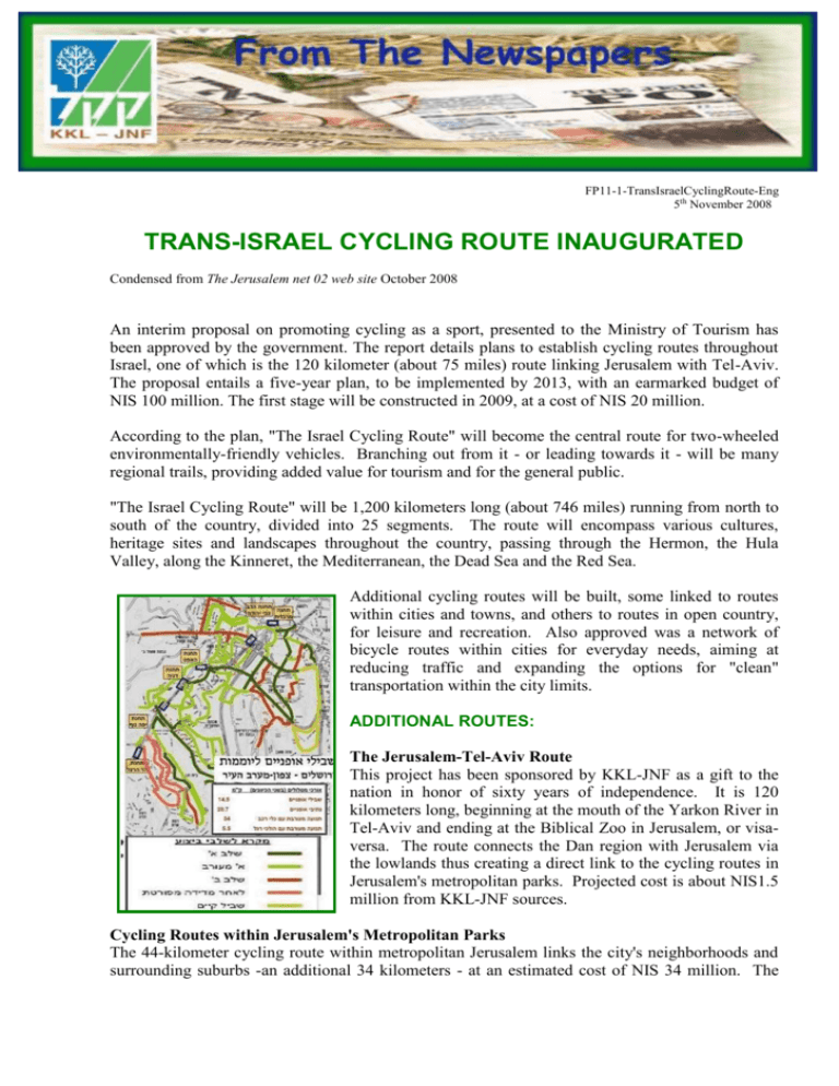
FP11-1-TransIsraelCyclingRoute-Eng 5th November 2008 TRANS-ISRAEL CYCLING ROUTE INAUGURATED Condensed from The Jerusalem net 02 web site October 2008 An interim proposal on promoting cycling as a sport, presented to the Ministry of Tourism has been approved by the government. The report details plans to establish cycling routes throughout Israel, one of which is the 120 kilometer (about 75 miles) route linking Jerusalem with Tel-Aviv. The proposal entails a five-year plan, to be implemented by 2013, with an earmarked budget of NIS 100 million. The first stage will be constructed in 2009, at a cost of NIS 20 million. According to the plan, "The Israel Cycling Route" will become the central route for two-wheeled environmentally-friendly vehicles. Branching out from it - or leading towards it - will be many regional trails, providing added value for tourism and for the general public. "The Israel Cycling Route" will be 1,200 kilometers long (about 746 miles) running from north to south of the country, divided into 25 segments. The route will encompass various cultures, heritage sites and landscapes throughout the country, passing through the Hermon, the Hula Valley, along the Kinneret, the Mediterranean, the Dead Sea and the Red Sea. Additional cycling routes will be built, some linked to routes within cities and towns, and others to routes in open country, for leisure and recreation. Also approved was a network of bicycle routes within cities for everyday needs, aiming at reducing traffic and expanding the options for "clean" transportation within the city limits. ADDITIONAL ROUTES: The Jerusalem-Tel-Aviv Route This project has been sponsored by KKL-JNF as a gift to the nation in honor of sixty years of independence. It is 120 kilometers long, beginning at the mouth of the Yarkon River in Tel-Aviv and ending at the Biblical Zoo in Jerusalem, or visaversa. The route connects the Dan region with Jerusalem via the lowlands thus creating a direct link to the cycling routes in Jerusalem's metropolitan parks. Projected cost is about NIS1.5 million from KKL-JNF sources. Cycling Routes within Jerusalem's Metropolitan Parks The 44-kilometer cycling route within metropolitan Jerusalem links the city's neighborhoods and surrounding suburbs -an additional 34 kilometers - at an estimated cost of NIS 34 million. The Arazim–Motza–Beit Zayit ten-kilometer segment has been approved for building during 2009 at an estimated cost of NIS 6.5 million. Cycling Route for Commuters The master plan for Jerusalem cyclists commuting from the north-west section of the city has been approved by the Ministry of Transportation and the Jerusalem Municipality. In 2008, the Ministry of Transportation, in conjunction with the Light-Rail system and the Jerusalem Municipality, approved funding for detailed plans with a budget of half a million shekels. Length of the routes in both directions is about 15 kilometers of cycling routes and 20 km of city lanes. "The Israel Cycling Route" in additional areas of the country Eilat Section – Mitzpe Shachrut is 85 kilometers long or a two-day ride. The Kinneret Route is 130 kilometers on existing routes, passing around the Kinneret at sea level. The Neorah, Tamra, Taibe Route – entails developing a cycling route in open country in the area of these towns as well as a route connecting the towns. Acre and Krayot (Haifa) Ring Route is 75 kilometers long, from the north of Acre, the Naaman River, the western Krayot, the Kishon River and the Tsipori River in the eastern part of the Jezreel Valley. The Netanya Route, 12 kilometers, connects the east of the city Neve Itamar, some of the Hefer Valley settlements with the Avihail and Alexander rivers "Southern River Trail." The Yarkon River Route is a two kilometer route along "The Concrete House" route, the western bank of the Yarkon River in the cleaned-up section, from the Yarkon Source National Park to Route number 5, within the municipal boundaries of Petach Tikva. The Yarkon River Route II - route number 40, the Hadar River, four kilometers long in the southern Sharon and Hod Hasharon regions, beginning in the east at Route 40 and ending in the west, at the confluence of the Yarkon River with the Hadar River. This route is based on existing routes along the northern bank of the Yarkon River and will seamlessly connect them. Beersheba Ring Road Cycling Route is fifty kilometers long with approaches from several areas of Beersheba, passing along the Karkur River, Hatzerim Park, Beersheba River Park and Omer. Links can be built to the towns of Ofakim, Rahat and Lahavim. For articles, comments or use, please contact Liaison, Information and Publication Ahuva Bar-Lev Email: ahuvab@kkl.org.il Phone: 972-2-6583354 Fax: 972-2-6583493 www.kkl.org.il/eng

