F03 - University of Hawai`i Maui College
advertisement
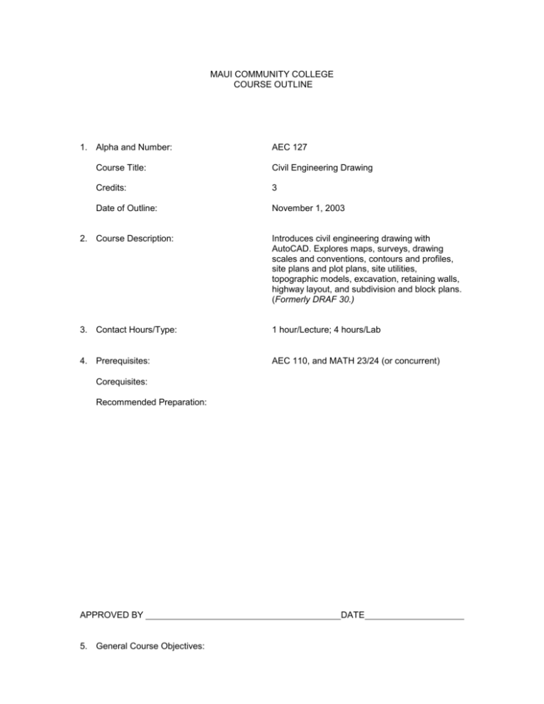
MAUI COMMUNITY COLLEGE COURSE OUTLINE 1. Alpha and Number: AEC 127 Course Title: Civil Engineering Drawing Credits: 3 Date of Outline: November 1, 2003 2. Course Description: Introduces civil engineering drawing with AutoCAD. Explores maps, surveys, drawing scales and conventions, contours and profiles, site plans and plot plans, site utilities, topographic models, excavation, retaining walls, highway layout, and subdivision and block plans. (Formerly DRAF 30.) 3. Contact Hours/Type: 1 hour/Lecture; 4 hours/Lab 4. Prerequisites: AEC 110, and MATH 23/24 (or concurrent) Corequisites: Recommended Preparation: APPROVED BY 5. General Course Objectives: DATE Covers site plans, plot plans, topographic presentations and models including subdivisions, block plans and highway layout. 6. Student Learning Outcomes For Assessment Purposes, these are linked to #7. Recommended Course Content. Upon completion of this course, the student should be able to: a. b. c. d. e. f. g. identify at least three types of maps; explain and use true azimuth and bearings for directions; use AutoCAD and draw to scale lines of specified lengths, and label them in proper form; draw site shapes to various scales using an engineer’s scale or AutoCAD; given random elevations, draw contour lines; given a site plan with contour lines, draw specified sections; draw a site plan or plot plan from specifications given and complete with labels and dimensions; h. alter site contours to represent a leveled building area; i. construct a simple topographic model; j. use AutoCAD to represent cut-and-fill excavation with retaining walls to level a building area; k. draw a subdivision or block plan complete with streets, public utilities, and contours; l. alter a land area to accommodate a highway and flanking cut-and-fill gradients. 7. Recommended Course Content and Approximate Time Spent on Each Topic Linked to #6. Student Learning Outcomes. 1-2 Weeks: Maps and Surveys (a-c) 1-2 Weeks: Drawing Scales and conventions (d-e) 2-3 Weeks: Contours, profiles, site plans, plot plans and utilities (f-h) 2-3 Weeks: Topographic models, (i) 2-3 Weeks: Sites with retaining walls (j) 3-4 Weeks: Subdivision and block plans (k-l) 1 Week: Final presentation 8. Text and Materials, Reference Materials, Auxiliary Materials and Content Appropriate text(s) and materials will be chosen at the time the course is to be offered from those currently available in the field. Examples include: Text: Civil Drafting Technology, Madsen and Shumaker Materials: Text(s) may be supplemented with: Proprietary Workbook Practice Sets Articles and/or handouts prepared by the instructor Magazine or newspaper articles Other: Appropriate films, videos and Internet sites Television programs Guest speakers Other instructional aids 9. Recommended Course Requirements and Evaluation Specific course requirements are at the discretion of the instructor at the time the course is being offered. Suggested requirements might include, but are not limited to: 10-50% Quizzes, midterm, and final exams 10-50% Design projects and workbook sets 5-20% Attendance and/or class participation 10. Methods of Instruction: Instructional methods vary considerably with instructors, and specific instructional methods will be at the discretion of the instructor teaching the course. Suggested techniques might include, but are not limited to: a. b. c. d. e. f. lecture, problem solving and class exercises; class discussions and guest lecturers; audio, visual and internet presentations; student class presentations; group and individual projects; other techniques (service learning, co-op, self-paced, etc).

