Topographic Map Study Guide
advertisement

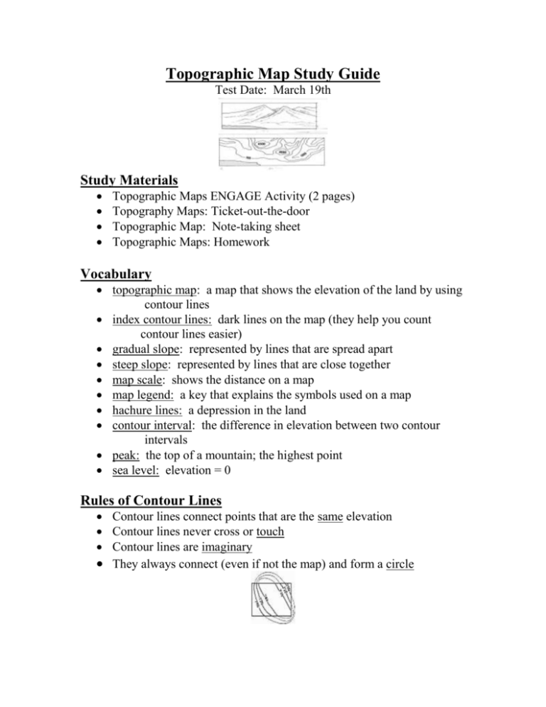
Topographic Map Study Guide Test Date: March 19th Study Materials Topographic Maps ENGAGE Activity (2 pages) Topography Maps: Ticket-out-the-door Topographic Map: Note-taking sheet Topographic Maps: Homework Vocabulary topographic map: a map that shows the elevation of the land by using contour lines index contour lines: dark lines on the map (they help you count contour lines easier) gradual slope: represented by lines that are spread apart steep slope: represented by lines that are close together map scale: shows the distance on a map map legend: a key that explains the symbols used on a map hachure lines: a depression in the land contour interval: the difference in elevation between two contour intervals peak: the top of a mountain; the highest point sea level: elevation = 0 Rules of Contour Lines Contour lines connect points that are the same elevation Contour lines never cross or touch Contour lines are imaginary They always connect (even if not the map) and form a circle Things to Know! Contour lines that cross water form a “V” that points UPSTREAM! The point of the V or U points uphill or upstream. A group of circles grouped together represents a hill or a mountain How to determine the contour interval on a topographic map (what elevation each line represents) Example: Each line below would stand for 20


