Topographic Maps Study Guide
advertisement

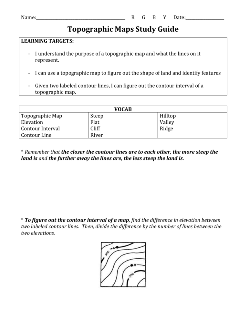
Name:____________________________________________ R G B Y Date:___________________ Topographic Maps Study Guide LEARNING TARGETS: - I understand the purpose of a topographic map and what the lines on it represent. - I can use a topographic map to figure out the shape of land and identify features - Given two labeled contour lines, I can figure out the contour interval of a topographic map. VOCAB Topographic Map Elevation Contour Interval Contour Line Steep Flat Cliff River Hilltop Valley Ridge * Remember that the closer the contour lines are to each other, the more steep the land is and the further away the lines are, the less steep the land is. * To figure out the contour interval of a map, find the difference in elevation between two labeled contour lines. Then, divide the difference by the number of lines between the two elevations. * Hilltops usually appear as closed circles of higher elevation. Closed circles of lower elevation are holes. * Ridges appear in V or U shapes that point towards the lower elevation. Valleys appear in V or U shapes that point towards lower elevation.


