Topographic Map Vocabulary
advertisement
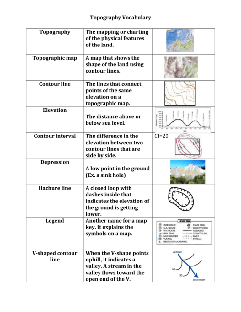
Topography Vocabulary Topography The mapping or charting of the physical features of the land. Topographic map A map that shows the shape of the land using contour lines. Contour line The lines that connect points of the same elevation on a topographic map. Elevation Contour interval Depression Hachure line Legend V-shaped contour line The distance above or below sea level. The difference in the elevation between two contour lines that are side by side. A low point in the ground (Ex. a sink hole) A closed loop with dashes inside that indicates the elevation of the ground is getting lower. Another name for a map key. It explains the symbols on a map. When the V-shape points uphill, it indicates a valley. A stream in the valley flows toward the open end of the V. CI=20


