Forecasting Hints
advertisement
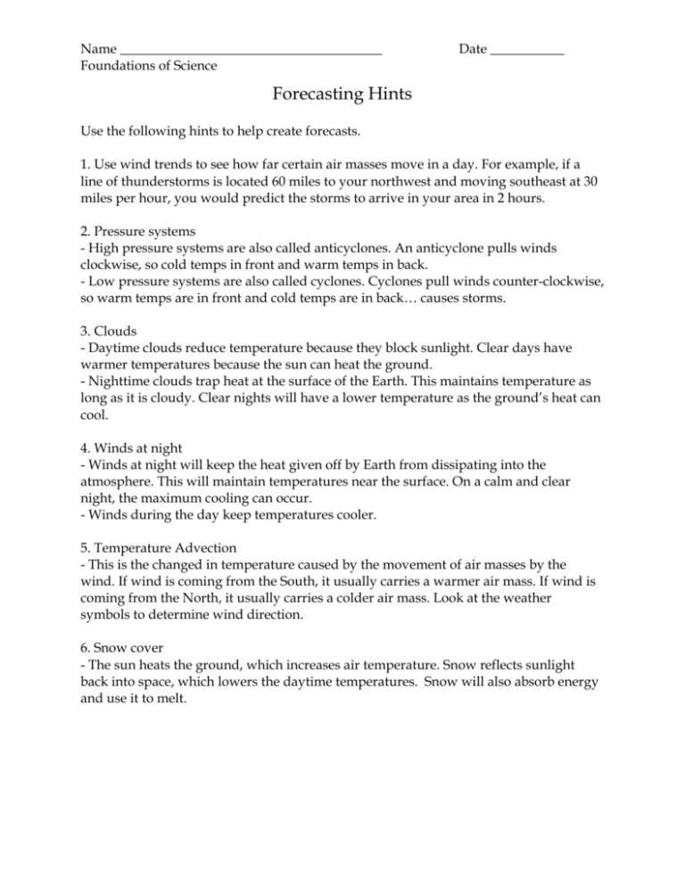
Name _______________________________________ Foundations of Science Date ___________ Forecasting Hints Use the following hints to help create forecasts. 1. Use wind trends to see how far certain air masses move in a day. For example, if a line of thunderstorms is located 60 miles to your northwest and moving southeast at 30 miles per hour, you would predict the storms to arrive in your area in 2 hours. 2. Pressure systems - High pressure systems are also called anticyclones. An anticyclone pulls winds clockwise, so cold temps in front and warm temps in back. - Low pressure systems are also called cyclones. Cyclones pull winds counter-clockwise, so warm temps are in front and cold temps are in back… causes storms. 3. Clouds - Daytime clouds reduce temperature because they block sunlight. Clear days have warmer temperatures because the sun can heat the ground. - Nighttime clouds trap heat at the surface of the Earth. This maintains temperature as long as it is cloudy. Clear nights will have a lower temperature as the ground’s heat can cool. 4. Winds at night - Winds at night will keep the heat given off by Earth from dissipating into the atmosphere. This will maintain temperatures near the surface. On a calm and clear night, the maximum cooling can occur. - Winds during the day keep temperatures cooler. 5. Temperature Advection - This is the changed in temperature caused by the movement of air masses by the wind. If wind is coming from the South, it usually carries a warmer air mass. If wind is coming from the North, it usually carries a colder air mass. Look at the weather symbols to determine wind direction. 6. Snow cover - The sun heats the ground, which increases air temperature. Snow reflects sunlight back into space, which lowers the daytime temperatures. Snow will also absorb energy and use it to melt.

