warping, folding, faulting & earthquakes
advertisement
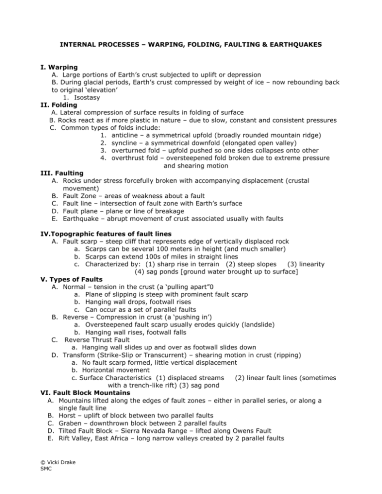
INTERNAL PROCESSES – WARPING, FOLDING, FAULTING & EARTHQUAKES I. Warping A. Large portions of Earth’s crust subjected to uplift or depression B. During glacial periods, Earth’s crust compressed by weight of ice – now rebounding back to original ‘elevation’ 1. Isostasy II. Folding A. Lateral compression of surface results in folding of surface B. Rocks react as if more plastic in nature – due to slow, constant and consistent pressures C. Common types of folds include: 1. anticline – a symmetrical upfold (broadly rounded mountain ridge) 2. syncline – a symmetrical downfold (elongated open valley) 3. overturned fold – upfold pushed so one sides collapses onto other 4. overthrust fold – oversteepened fold broken due to extreme pressure and shearing motion III. Faulting A. Rocks under stress forcefully broken with accompanying displacement (crustal movement) B. Fault Zone – areas of weakness about a fault C. Fault line – intersection of fault zone with Earth’s surface D. Fault plane – plane or line of breakage E. Earthquake – abrupt movement of crust associated usually with faults IV.Topographic features of fault lines A. Fault scarp – steep cliff that represents edge of vertically displaced rock a. Scarps can be several 100 meters in height (and much smaller) b. Scarps can extend 100s of miles in straight lines c. Characterized by: (1) sharp rise in terrain (2) steep slopes (3) linearity (4) sag ponds [ground water brought up to surface] V. Types of Faults A. Normal – tension in the crust (a ‘pulling apart”0 a. Plane of slipping is steep with prominent fault scarp b. Hanging wall drops, footwall rises c. Can occur as a set of parallel faults B. Reverse – Compression in crust (a ‘pushing in’) a. Oversteepened fault scarp usually erodes quickly (landslide) b. Hanging wall rises, footwall falls C. Reverse Thrust Fault a. Hanging wall slides up and over as footwall slides down D. Transform (Strike-Slip or Transcurrent) – shearing motion in crust (ripping) a. No fault scarp formed, little vertical displacement b. Horizontal movement c. Surface Characteristics (1) displaced streams (2) linear fault lines (sometimes with a trench-like rift) (3) sag pond VI. Fault Block Mountains A. Mountains lifted along the edges of fault zones – either in parallel series, or along a single fault line B. Horst – uplift of block between two parallel faults C. Graben – downthrown block between 2 parallel faults D. Tilted Fault Block – Sierra Nevada Range – lifted along Owens Fault E. Rift Valley, East Africa – long narrow valleys created by 2 parallel faults © Vicki Drake SMC F. Basin and Range (North America) – hundreds of horsts and grabens created possibly by extensional processes beneath crust of western continental margin of N.A. VII. Folded Mountains A. Fold and Thrust Mountains – complex mountain systems, complete with metamorphic, igneous and sedimentary rock formations B. The Rockies in North America, Alps in Europe, Atlas Mountains in Africa, Himalayas in Eurasia, and Appalachians in North America are all folded mountains created during continental plate collisions. VIII. Earthquakes A. Motion of ground surface as result of wave energy transmitted through surface layers of Earth B. Produced by sudden slips along faults – strains builds up between 2 plates or 2 rock blocks on either side of fault – C. Strain can be released slowly (fault creep) or quickly (earthquake) D. Seismic activity generally occurs within vicinity of lithospheric plate boundaries IX. Measuring Intensity of Earthquakes A. Richter Scale – measure the amount of energy released during a quake – the magnitude of the energy correlating to amplitude of seismic wave. (1-9) a. Richter Scale is logarithmic – in unit (whole integer) represents a 10-fold increase in amplitude – translating to 32-fold increase in energy release (a 6.0 earthquake releases 32 times more energy than a 5.0 quake, and ~900 times more energy than a 4.0 quake!) (Think “power of 10”) B. Mercalli Intensity Scale – ranks earthquakes according to intensity – does not locate epicenter (I-XII) a. A subjective scale to determine standard list of increasing levels of damage to man-made structures X. Earthquake Terminology A. Focus – precise subterranean spot at which rocks rupture or shift B. Epicenter – point on Earth’s surface directly above focus (greatest impact area) C. Seismic Waves – Energy of earthquake transmitted in all directions in form of waves a. Body Waves – transmit energy through Earth’s interior in all directions from focus i. Primary Waves (P waves) – fastest seismic waves (~4 miles/second) Energy transmitted through compression/expansion waves) ii. Secondary Waves (S waves) – travel ~ ½ the velocity of P waves Energy transmitted through ‘ocean wave’ motion b. Surface Waves – body waves moving upward from focus to epicenter, causing surface to vibrate i. Slowest of all seismic waves with two types of surface motion: 1. side-to-side whipping motion 2. rolling motion resembling ocean swells XI. North America Earthquakes A. 1994 Northridge EarthquakeJanuary 17, 1994 @ 4:31 a.m. – 6.7 (6.8) magnitude EQ a. Cause: Blind reverse thrust fault near foothills of Santa Susana Mountains in NW SFV. b. Fault was ~ 11-12 miles (20 km) below valley surface, and upper block of fault pushed upward powerfully and quickly – Santa Susana lifted 1 foot c. Produced strongest ground motions recorded in an urban setting in North America © Vicki Drake SMC d. Santa Susana Mountains still rising ~ 4 inches per year since quake, along fault zone B. 1989 Loma Prieta Earthquake – San Andreas Fault displacement of ~7 feet C. 1906 – San Francisco Earthquake – 270 mile-long rupture, ~21 feet of vertical displacement on west side of fault in a ‘northerly’ direction D. 1964 Good Friday Earthquake, Anchorage Alaska – dip-slip fault approximately 200,000 square miles of land and adjacent sea floor downdropped by normal fault in some parts – and pushed upward by reverse thrust faulting in others Max. upward land shift ~ 39 feet – Sea floor dropped ~ 52.5 feet XII. Effects of Earthquakes A. Displacement as large areas of the ground shift position along a fault B. Seemingly solid earth flows as if liquid (Liquefaction) as groundwater rises through unconsolidated sandy soils C. Large (and small) bodies of water can actually rise and fall D. Groundwater levels fluctuate as the Earth compresses and expands with passage of Pwave. E. Enormous sea waves move across the open ocean to crash onto low-lying coastal areas (Tsunami) F. Tsunami – Japanese for “harbor waves”, are actually Sea Waves created from instantaneous displacement of sea floor during faulting a. Tsunami can be >100 feet high, have velocities of >500 mph across open seas b. Travel great distances across open oceans, undetected until reach shallow coastline. c. Energy translated from forward momentum into ‘building’ momentum at shores © Vicki Drake SMC
