Mini Drip Outline
advertisement
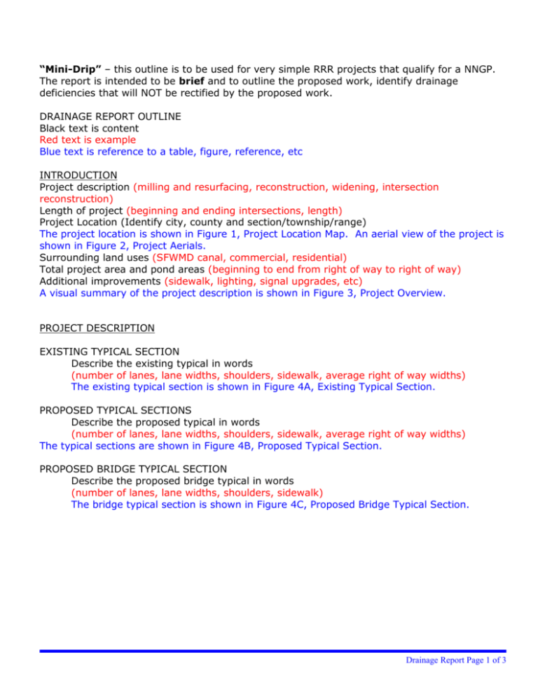
“Mini-Drip” – this outline is to be used for very simple RRR projects that qualify for a NNGP. The report is intended to be brief and to outline the proposed work, identify drainage deficiencies that will NOT be rectified by the proposed work. DRAINAGE REPORT OUTLINE Black text is content Red text is example Blue text is reference to a table, figure, reference, etc INTRODUCTION Project description (milling and resurfacing, reconstruction, widening, intersection reconstruction) Length of project (beginning and ending intersections, length) Project Location (Identify city, county and section/township/range) The project location is shown in Figure 1, Project Location Map. An aerial view of the project is shown in Figure 2, Project Aerials. Surrounding land uses (SFWMD canal, commercial, residential) Total project area and pond areas (beginning to end from right of way to right of way) Additional improvements (sidewalk, lighting, signal upgrades, etc) A visual summary of the project description is shown in Figure 3, Project Overview. PROJECT DESCRIPTION EXISTING TYPICAL SECTION Describe the existing typical in words (number of lanes, lane widths, shoulders, sidewalk, average right of way widths) The existing typical section is shown in Figure 4A, Existing Typical Section. PROPOSED TYPICAL SECTIONS Describe the proposed typical in words (number of lanes, lane widths, shoulders, sidewalk, average right of way widths) The typical sections are shown in Figure 4B, Proposed Typical Section. PROPOSED BRIDGE TYPICAL SECTION Describe the proposed bridge typical in words (number of lanes, lane widths, shoulders, sidewalk) The bridge typical section is shown in Figure 4C, Proposed Bridge Typical Section. Drainage Report Page 1 of 3 ROADWAY DRAINAGE DESIGN CRITERIA FDOT Drainage Manual Using storm event frequency 3 in the appropriate zone and excluding minor losses, the storm sewer system shall provide a minimum clearance of 1 foot from the Hydraulic Grade Line (HGL) to the gutter elevation. The minimum velocity shall be 2.5 feet per second (FPS). The minimum pipe diameter shall be 18 inches. Maximum distance between pipe access shall be 300 feet for pipe diameters of 18 inches, 400 feet for pipe diameters of 24 to 36 inches and 500 feet for pipe diameters of 42 inches or larger. Using an intensity of 4 inches per hour, the calculated spread at each curb inlet shall be less than one half of the width of the outside travel lane. Optional pipe material shall provide 100 year service life. EXISTING DRAINAGE SYSTEM Describe existing roadway drainage system PROPOSED DRAINAGE SYSTEM Describe proposed roadway drainage system. The existing drainage system will not be altered by the activities proposed by this project. The drainage areas are delineated on the drainage map in Figure 5, Drainage Map. Include existing documentation (ie. Photos, existing drainage emaps, meeting minutes, etc. of any drainage improvments.) WETLAND OR OTHER SURFACE WATER IMPACTS No wetlands will be impacted by the improvements. Other Surface Waters will be impacted with very minor loss of benefit. Acreage of impacts is summarized in Table 8, Other Surface Water Impacts. The impact area is calculated from the top of bank to top of bank. List act ivies with impacts Spread Calcs are in Appendix 2, Spread Calcs. Culvert Service Live Estimator (CSLE) software was used to determine suitable material to meet FDOT criteria. The soil characteristics were provided by the District Four/Six Materials Lab. Both the CSLE input/output and the Soils Report are in Appendix 3, Optional Pipe Materials. PERMITTING PERMITTING AGENCIES List all applicable permitting agencies. Water Management Districts, Broward County, ACOE, USCG, Local Drainage Districts, City/County Trees, etc. Drainage Report Page 2 of 3 RESOURCE OF CRITERIA List resources SFWMD Environmental Resource Permit Information Manual, Volume IV WATER USE LANDSCAPE IRRIGATION Irrigation is proposed in this project. The water source is [name of water source]. A [type of permit] permit from SFWMD will be required for this activity. CONSTRUCTION DEWATERING The contractor, who will be chosen in [estimate date], may choose to dewater during the construction. The contractor will be required to obtain the dewatering permit from SFWMD prior to any dewatering activity. Most of the drainage structures are below the water table. However, no sensitive areas to require special conditions have been identified. Therefore, the contractor should be able to utilize the Noticed General Dewatering Permit. Drainage Report Page 3 of 3


