Lesson plan ARTSTART Summer Institute
advertisement
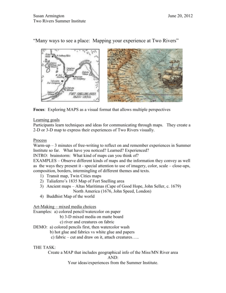
Susan Armington Two Rivers Summer Institute June 20, 2012 “Many ways to see a place: Mapping your experience at Two Rivers” Focus: Exploring MAPS as a visual format that allows multiple perspectives Learning goals Participants learn techniques and ideas for communicating through maps. They create a 2-D or 3-D map to express their experiences of Two Rivers visually. Process Warm-up – 3 minutes of free-writing to reflect on and remember experiences in Summer Institute so far. What have you noticed? Learned? Experienced? INTRO: brainstorm: What kind of maps can you think of? EXAMPLES – Observe different kinds of maps and the information they convey as well as the ways they present it - special attention to use of imagery, color, scale – close-ups, composition, borders, intermingling of different themes and texts. 1) Transit map, Twin Cities maps 2) Taliaferro’s 1835 Map of Fort Snelling area 3) Ancient maps – Altas Maritimas (Cape of Good Hope, John Seller, c. 1679) North America (1676, John Speed, London) 4) Buddhist Map of the world Art-Making – mixed media choices Examples: a) colored pencil/watercolor on paper b) 3-D mixed media on matte board c) river and creatures on fabric DEMO: a) colored pencils first, then watercolor wash b) hot glue and fabrics vs white glue and papers c) fabric – cut and draw on it, attach creatures….. THE TASK: Create a MAP that includes geographical info of the Miss/MN River area AND: Your ideas/experiences from the Summer Institute. Susan Armington Two Rivers Summer Institute June 20, 2012 Could be: Things you have learned about the area –historical, cultural, envrionmental Things you have experienced so far…metaphor, poem, nature walk Things you are thinking about…. YOUR MAP: 1) includes geographic info presented visually – at least 2 natural features 2) conveys personal ideas, reflections 3) uses 2 or more devices from mapping such as: Insets close-ups border illustrations map key symbols writings symbolic color pathways , BEGIN: – sketch an idea for your map. MAKE – your map. Reflection and Critical Response. – share with partners, then the whole group 1) What devices do you notice on others’ maps? 2) What natural features did they include? 3) Do different maps give you different feelings? Why? What’s different? 4) What feelings, thoughts, or experiences does each remind you of? Mixed media materials: papers, fabrics, cardboard, colored pencils, watercolors, sharpie pens, glues (hot glue, white glue, tacky glue), miscellaneous decorative: sequins, yarns, wire, pipe cleaners, etc. FOLLOW-UP SESSION – Revising and Adding on: How can you add another layer to your map? How can you highlight certain points? www.susanarmington.com
