REVIEW 1: LATITUDE AND LONGITUDE AND TIME ZONES
advertisement

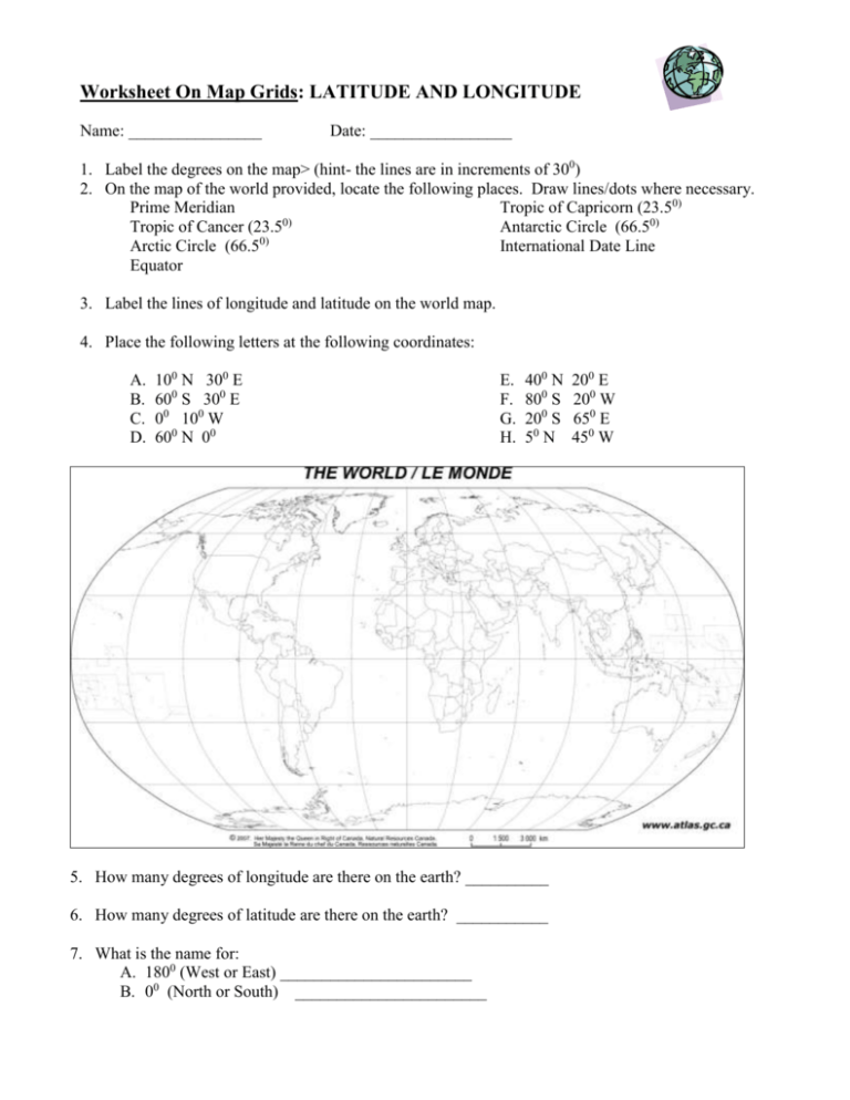
Worksheet On Map Grids: LATITUDE AND LONGITUDE Name: ________________ Date: _________________ 1. Label the degrees on the map> (hint- the lines are in increments of 300) 2. On the map of the world provided, locate the following places. Draw lines/dots where necessary. Prime Meridian Tropic of Capricorn (23.50) 0) Tropic of Cancer (23.5 Antarctic Circle (66.50) Arctic Circle (66.50) International Date Line Equator 3. Label the lines of longitude and latitude on the world map. 4. Place the following letters at the following coordinates: A. B. C. D. 100 N 300 E 600 S 300 E 00 100 W 600 N 00 E. F. G. H. 400 N 800 S 200 S 50 N 5. How many degrees of longitude are there on the earth? __________ 6. How many degrees of latitude are there on the earth? ___________ 7. What is the name for: A. 1800 (West or East) _______________________ B. 00 (North or South) _______________________ 200 E 200 W 650 E 450 W 8. Using the Gazetteer, (Index) at the end of the atlas look up the latitudes and longitudes of the following cities. Find the distance in degrees latitude and longitude that the city pairs are apart. Remember, there are two gazetteers at the end of the atlas, one for Canadian Cities and one for cities in the rest of the world. The first city pairs have been completed for you. City Pairs Latitude Longitude Ottawa, On 450 N 75.50 W Winnipeg, Man. St. John’s, Nfld. 51.50 N 970W Difference Apart in Latitude 51.5-45=6.50 Difference Apart in Longitude 97-75.5=21.50 Victoria, BC Alert, Nunavut Windsor, On. Ottawa, On. Lima, Peru Belfast, Ireland Moscow, Russia GRID REFERENCE (or military grid): used in topographic maps 9. 02 11 4- 03 04 05 06 4 digit (RP) 6 digit (RP) A A. 0210____ 022105_____ 10 B B. _________ ______________ C. _________ ______________ 09 D. __________ _____________ 08 C 07 Eastings D


