Unit 1: Geography Study Guide What river forms a border between
advertisement
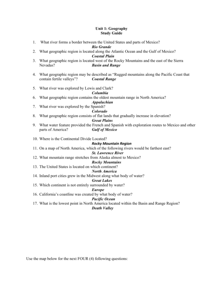
Unit 1: Geography Study Guide 1. What river forms a border between the United States and parts of Mexico? Rio Grande 2. What geographic region is located along the Atlantic Ocean and the Gulf of Mexico? Coastal Plain 3. What geographic region is located west of the Rocky Mountains and the east of the Sierra Nevadas? Basin and Range 4. What geographic region may be described as “Rugged mountains along the Pacific Coast that contain fertile valleys”? Coastal Range 5. What river was explored by Lewis and Clark? Columbia 6. What geographic region contains the oldest mountain range in North America? Appalachian 7. What river was explored by the Spanish? Colorado 8. What geographic region consists of flat lands that gradually increase in elevation? Great Plains 9. What water feature provided the French and Spanish with exploration routes to Mexico and other parts of America? Gulf of Mexico 10. Where is the Continental Divide Located? Rocky Mountain Region 11. On a map of North America, which of the following rivers would be farthest east? St. Lawrence River 12. What mountain range stretches from Alaska almost to Mexico? Rocky Mountains 13. The United States is located on which continent? North America 14. Inland port cities grew in the Midwest along what body of water? Great Lakes 15. Which continent is not entirely surrounded by water? Europe 16. California’s coastline was created by what body of water? Pacific Ocean 17. What is the lowest point in North America located within the Basin and Range Region? Death Valley Use the map below for the next FOUR (4) following questions: 18. What geographic region is represented by the number 2? Basin & Range 19. The Appalachian Highlands is represented by what number? 6 20. What number on the map represents the Coastal Range? 1 21. What number on the map represents the Interior Lowlands? 5 22. What river connects the Great Lakes to the Atlantic Ocean? St. Lawrence River 23. What region of the United States has broad lowlands and many excellent harbors? Coastal Plains 24. What river was known as “the gateway to the west?” Ohio River 25. Why are geographic land features important in the history of the United States History? it explains the locations and growth of towns and cities 26. What continent is represented by the number 4? Africa 27. Asia is represented by which number? 7 28. The Atlantic Ocean served as a highway for explorers, early settlers, and later immigrants. It is represented by which letter? B 29. The Pacific Ocean is represented by which letter? C 30. What continent is represented by number 1? North America 31. The Ohio River is represented by letter? D 32. What is the river labeled letter A? Rio Grande 33. What river did the Spanish use to explore North America? I Short Answers How would decisions on where to farm, build factories, or turn fishing, into a business be affected by geographic features? As settlers began moving west across the continent, explain how geographic features may have influenced their paths?

