Addendum - Dixie State University
advertisement
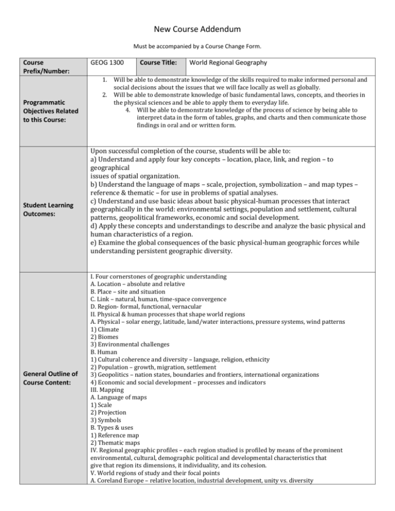
New Course Addendum Must be accompanied by a Course Change Form. Course Prefix/Number: GEOG 1300 1. 2. Programmatic Objectives Related to this Course: Student Learning Outcomes: General Outline of Course Content: Course Title: World Regional Geography Will be able to demonstrate knowledge of the skills required to make informed personal and social decisions about the issues that we will face locally as well as globally. Will be able to demonstrate knowledge of basic fundamental laws, concepts, and theories in the physical sciences and be able to apply them to everyday life. 4. Will be able to demonstrate knowledge of the process of science by being able to interpret data in the form of tables, graphs, and charts and then communicate those findings in oral and or written form. Upon successful completion of the course, students will be able to: a) Understand and apply four key concepts – location, place, link, and region – to geographical issues of spatial organization. b) Understand the language of maps – scale, projection, symbolization – and map types – reference & thematic – for use in problems of spatial analyses. c) Understand and use basic ideas about basic physical-human processes that interact geographically in the world: environmental settings, population and settlement, cultural patterns, geopolitical frameworks, economic and social development. d) Apply these concepts and understandings to describe and analyze the basic physical and human characteristics of a region. e) Examine the global consequences of the basic physical-human geographic forces while understanding persistent geographic diversity. I. Four cornerstones of geographic understanding A. Location – absolute and relative B. Place – site and situation C. Link – natural, human, time-space convergence D. Region- formal, functional, vernacular II. Physical & human processes that shape world regions A. Physical – solar energy, latitude, land/water interactions, pressure systems, wind patterns 1) Climate 2) Biomes 3) Environmental challenges B. Human 1) Cultural coherence and diversity – language, religion, ethnicity 2) Population – growth, migration, settlement 3) Geopolitics – nation states, boundaries and frontiers, international organizations 4) Economic and social development – processes and indicators III. Mapping A. Language of maps 1) Scale 2) Projection 3) Symbols B. Types & uses 1) Reference map 2) Thematic maps IV. Regional geographic profiles – each region studied is profiled by means of the prominent environmental, cultural, demographic political and developmental characteristics that give that region its dimensions, it individuality, and its cohesion. V. World regions of study and their focal points A. Coreland Europe – relative location, industrial development, unity vs. diversity B. Former Soviet Union – effects of history, political upheaval, & climate C. The Middle East – culture hearths, diffusion, political conflict, effects of dryness D. India – large population vs. sustainable resource and economic base E. China – effects of environmental manipulations; social and economic development F. Sub-Saharan Africa – natural barriers, colonial legacies, medical geography G. Latin America – Mexico & Brazil: global economy & environmental challenges H. North America –water resources, industrial location, and urban sprawl Methods of Student Assessment (e.g. type, number, percent): Possible Text (or other materials): Grading: Attendance Position papers: 3 x 5% Participation and in-class activities Exam I Final Exam 10% 15% 15% 30% 30% Pulsipher, Lydia M. and Pulsipher, A. (2006) World Regional Geography: Global Patterns, Local Lives 3rd Edition, Without subregions. W.H. Freeman and Company, New York. Other Information: Areas in bold are required.
