Online maps - University of Bradford
Online maps
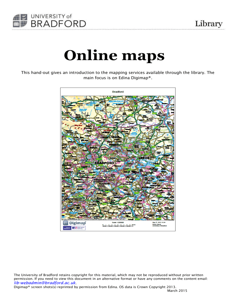
This hand-out gives an introduction to the mapping services available through the library. The main focus is on Edina Digimap®.
The University of Bradford retains copyright for this material, which may not be reproduced without prior written permission. If you need to view this document in an alternative format or have any comments on the content email: lib-webadmin@bradford.ac.uk
.
Digimap® screen shots(s) reprinted by permission from Edina. OS data is Crown Copyright 2013.
March 2015
Contents
Edina Digimap
Registering to use Edina Digimap
............................................................................................ 3
Accessing Edina Digimap
Ordnance Survey: Roam
Maps available
Viewing and manipulating maps in Digimap
.......................................................................... 7
Saving and printing maps
Other functions in Digimap
Downloading data
Referencing Digimap output
Further information and links
................................................................................................ 10
Geology Digimap
Maps available
Selecting features
Identifying Features
Other sources of Geology maps
............................................................................................. 12
Environment Digimap
Historic Digimap
Maps available
Choosing maps from different periods
................................................................................. 13
Other sources of historic maps
.............................................................................................. 14
Other useful mapping services
Land use maps: Magic
Soil maps: National Soil Resources Institute Soil Site Reporter
.......................................... 15
Other sources of soil maps
Contact details
Online maps
Edina Digimap
Edina Digimap gives access to all current and past Ordnance Survey maps of England, Scotland and Wales, at scales from 1:1,000,000 to 1:1000 and also geological maps, land-use maps and environmental maps. These maps can be modified, saved and printed. Map data can be downloaded into a GPS or CAD package, and there is also an extensive gazetteer.
Registering to use Edina Digimap
1.
Go to http://digimap.edina.ac.uk/digimap/home .
2.
Click on Log in via UK federation.
3.
Enter ‘University of Bradford’ as the institution name. Click on continue.
4.
Log in, using your university username and password.
5.
Fill in the web registration form.
3 March 2015
Online maps
6.
Verify your email address.
7.
Choose to register for all of the collections and accept the terms and conditions for each of them.
8.
You will then be taken to the Digimap homepage.
4 March 2015
Online maps
9.
Click on ‘Roam’.
Accessing Edina Digimap
1.
Edina Digimap can be accessed through the library catalogue or from its own website: http://digimap.edina.ac.uk/digimap/home .
2.
On the home page, you will see a list of the Digimap packages. These include:
Ordnance Survey maps. All current Ordnance Survey maps at scales from
1:1,000,000 to 1:1000.
Historic. All past Ordnance Survey maps from the 1850s to the 1990s.
Geology. British Geological Survey solid and drift geology maps from 1:50,000 to
1:625,000.
Environment. Land cover maps from 2007, 2000 and 1997 at scales from
1:5,600,000 to 1:25 000.
For each package you can do the following:
5 March 2015
Online maps
View, annotate and print maps. To access maps, click on the view, annotate and print link and click the green button labelled ‘I agree to the conditions’.
Download data onto a GPS or CAD package (‘Data download services’).
Access further help.
For the current Ordnance Survey maps you can also find information about postcodes and place names.
All of the packages work in the same way, enabling you to view, annotate, print and save maps.
The basic functions are outlined in the section on the Ordnance Survey maps.
NOTE: To return to this home page at any point, use the breadcrumb trail at the top.
Ordnance Survey: Roam
Roam gives online access to all of the Ordnance Survey maps of England, Scotland and Wales, at scales from 1:1,000,000 to 1:1000. These maps can be modified, saved and printed. Map data can be downloaded into a GPS or CAD package, and there is also an extensive gazetteer.
Maps available
There are 14 pre-set scales in Roam. The most commonly used views are the local (1:50 000) and neighbourhood (1:25 000). To see which scale you are viewing, use the Map information option.
Zoom by clicking the + and – icons on the slider or using your mouse scroll wheel. You can also double click on the map to zoom in.
View Level Print Scale
GB
Default OS map data product(s) Alternative
Map Products
Strategi® data and DCW country outlines
1:8,000,000
National
Regional
County
Metropolitan
City
District
Local Plus
Local
Miniscale®
Miniscale®
Miniscale®
Strategi®
Strategi®
Meridian™ and Land-Form
PANORAMA contours
1:50 000 Scale Colour Raster
1:50 000 Scale Colour Raster
1:1,600,000
1:800,000
1:400,000
1:200,000
1:100,000
1:50,000
1:40,000
1:20,000
6 March 2015
Neighbourhood 1:25 000 Scale Colour Raster
Street
Detailed
Plan
Building
Vector Map
Local
1:10 000 Scale Colour Raster Vector Map
Local
OS MasterMap® Topography Layer
OS MasterMap® Topography Layer
OS MasterMap® Topography Layer
Online maps
1:10,000
1:10,000
1:2,500
1:1,250
1:500
Viewing and manipulating maps in Digimap
Searching for maps
You can search using the full postcode (e.g. BD7 1DP; BD7 by itself will not work), place name or grid reference (must be in alphanumeric form e.g. NT, TU24, SD9859). You can also zoom in by clicking on the map of Britain.
Navigating around maps
Pan by clicking on the map and dragging it in the desired direction or use the arrows on the blue
button.
Changing map content
You can control the content of several map views. Click on Map Content in the left hand panel.
This enables you to display only the map features you require, e.g. just the roads and railways.
Select or de-select the tick box next to the feature class to switch the display of that feature class on or off.
Map content control is only available in some scales. You may need to change the map type using the Basemaps logo on the right of the screen to enable this feature.
7 March 2015
Online maps
Annotating maps
To annotate your map, click on Map Tools.
This pops up the annotation tool bar allowing you to add markers, shapes and labels.
To save annotations, click on save. You can save the map and annotations under My maps or export the annotations for use in GIS or CAD.
If you annotate and save a map in one area of Digimap you can re-load the annotations into another (eg you can save annotations in Roam then re-load them into Ancient Roam).
Under Map tools you can measure distances or zoom to your chosen area.
In the top right hand corner you can find the hill shading feature if you click on the drop down menu next to Overlays.
Saving and printing maps
Saving maps
Click Save option on the left hand side. There are three saving options:
8 March 2015
Online maps
My map saves the map and any annotations. You can return to this at any time by clicking
Open. You can also use this to re-load your annotations into other areas of Digimap such as Historic or Geology. You will need to give the map a title.
Annotations to file. This allows you to save annotations to export to GIS packages.
Screen image.
This saves the current image as a .png or .jpg file. This does not save annotations.
Printing maps
1.
Click the print icon.
2.
Give your map a title and tick National Grid lines, Legend (key) and Annotations if you wish to include them. Choose whether your map should be portrait or landscape.
3.
Click the Layout preview to check you are covering the correct area and Content preview to see what your map will look like.
4.
Choose your page size from A4 to A0. The size of paper you choose determines the size of field produced in your print file – you do not necessarily need to print on that size of paper.
5.
Click the ‘Generate print to file’ option bottom left hand side. This will produce a file in
.pdf, .png or .jpg format.
Other functions in Digimap
These are located under Find information about postcodes and place names on the home page.
The gazetteer searches for place names and view their locations. It also produces a thumb-nail map of your search site at 1:25 000 scale. This map cannot be enlarged, nor can you pan around.
Gazetteer plus searches for place name records by location and feature type.
The postcode query locates a postcode and gives information about the type of properties within it.
9 March 2015
Online maps
Downloading data
Use data download services to download data for use in GIS or CAD. Data available for download include:
Map data at any scale (MasterMap™ is the largest scale data).
Data on postcode or administrative boundaries.
Gazetteer data.
Data download is available in a variety of formats: for most common GIS packages, including ArcView, use NTF.
Referencing Digimap output
To reference a map produced in Digimap, use the following format:
Ordnance Survey (Year ) [ Title ] Scale . Generated on Date of generation.
Most of this information can be found if you generate a PDF using Digimap. The year of map can be taken as being the copyright date, which is claimed to be the current year for all Digimap data. Assign the map a title, which is placed in square brackets to show that it is one that you have given it. The reference for a map of Malham which you produced using Digimap on 10 th
October 2013 would be:
Ordnance Survey (2013) [Malham] Scale 1:25 000. Generated on 10/10/13.
Further information and links
Digimap FAQs and guides are at http://digimap.edina.ac.uk/webhelp/resources/index.html
Geology Digimap
Geology Roam gives you access to geological maps. It enables you to find out more information about the rocks shown on the map and view photographs of geological features and landscapes.
You can also download geological data for use in GIS or CAD programmes.
You will need to register to use Geology Digimap even if you are already registered to use
Digimap. Instructions on how to register are on page 3 of this handout, under Registering to use
Digimap.
Geology Digimap uses the same platform as Digimap, to print, save or annotate, see the relevant sections under Digimap.
Maps available
1:625,000 solid and drift geology, and linear features.
1:250,000 solid geology and linear features.
1:50,000 solid and drift geology, mass movement, artificial ground and seven separate linear feature layers.
10 March 2015
Online maps
the BGS Lexicon of named Rock Units.
Data can be downloaded into your GIS software.
Selecting features
In Map Content it is possible to turn layers of the map on and off. If you use the slider on the top right hand side of the screen you can change the strength of the geological information displayed on the map.
Identifying Features
1.
Left click on the area of the map you would like to identify.
2.
Click on the information icon on the toolbar.
3.
A pop up box will appear in the middle of the screen giving full details of the feature.
11 March 2015
Online maps
Map information, measurement tools, annotation tools, printing and saving are all the same as if you were using Ordnance Survey maps. Please see above for details.
Other sources of Geology maps
Open Geoscience ( http://www.bgs.ac.uk/opengeoscience/) provides basic geological mapping, offshore geology maps, hydrogeological maps and borehole data.
There is a small series of paper geology maps in the JB Priestley Library in the British
Governmental Publications section under Natural Environment Research Council/British
Geological Survey. To browse the collection from the library catalogue, try a search for
British Geological Survey.
There are also some geology maps in the map chest on floor 1.
Environment Digimap
Environment Digimap gives access to land cover maps from 2007, 2000 and 1997 at scales from
1:5,600,000 to 1:25 000. You can also download environmental data for use in GIS or CAD programmes.
You will need to register to use Environment Digimap, even if you are already registered to use
Digimap. Instructions on how to register are on page 3 of this handout, under Registering to use
Digimap.
Environment Digimap uses the same platform as Digimap, to print, save or annotate, see the relevant sections under Digimap.
To change between the different land cover maps, use the Basemaps logo on the right of the screen. There is no content control in Environment Digimap. The key to the land cover colours is under map content.
12 March 2015
Online maps
Historic Digimap
Historic Digimap gives access to historical Ordnance Survey maps from the 1840s to the 1990s.
You can also download historical data for use in GIS or CAD programmes.
Historic Digimap uses the same platform as Digimap, to print, save or annotate, see the relevant sections under Digimap.
There are two sections to Historic Digimap:
Ancient Roam gives access to historical Ordnance Survey maps.
Land Use Map gives access to the Dudley Stamp Land Use maps.
This handout concentrates on Ancient Roam.
Ancient Roam allows you to view historical Ordnance Survey maps from the 1840s to the 1990s.
Zoom through 12 different levels from maps at 1:500 to 1:10 560 in scale; view the same location for two different points in time to see what has changed.
Ancient Roam allows you to annotate, measure, print and save maps. For more information on how to do this, see the instructions under Digimap.
Maps available
All available County Series maps at 1:2,500 and 1:10560 scales published between 1843 and 1939.
All available National Grid maps at 1:1,250, 1:2,500 and 1:10560/10,000 scales published from 1945 to before the introduction of the OS digital Land-Line product.
All available Town Plan maps at 1:500, 1:528 and 1:1056 scales published between the
1840s and the 1930s.
Choosing maps from different periods
When you search for a location you will see a list of time periods at the top of the screen. The dates highlighted in blue show that a map from this time period is available at the scale you are currently viewing. The map highlighted in red is the one you are currently viewing.
13 March 2015
Online maps
As you change map scale, the available maps will change. To see a map from a highlighted period, simply click on the date.
To find the precise date of the survey and other details such as paper map sheet and scale, click on the map then click the information icon on the toolbar.
To view maps from two different periods side by side, click the 1 up, 2 up button in the top right then choose a second time period from the list at the top of the screen. You will not be able to annotate maps in this view.
Other sources of historic maps
Vision of Britain http://www.visionofbritain.org.uk/ gives access to historic maps, documents, and statistics and related websites. Search by place name or postcode.
The National Library of Scotland http://maps.nls.uk/ has pre-1960 Ordnance Survey maps for the whole country and detailed maps of Scotland from 1560 onwards.
Old Maps Online http://www.oldmapsonline.org/ has historic maps from around the world.
UK coverage is pre-ordnance survey to the 1960s.
The map chest on floor 1 has facsimiles of some famous historic maps.
Special Collections has some original historic maps. For more details, see http://www.brad.ac.uk/library/special-collections/ .
Other useful mapping services
Land use maps: Magic
Magic ( http://www.natureonthemap.naturalengland.org.uk/MagicMap.aspx
) is an interactive mapping service showing environmental schemes and designations such as National Parks, areas of outstanding natural beauty, scheduled ancient monuments etc.
To use Magic:
1.
Agree to the terms and conditions.
2.
Use the drop-down arrow in the search box to choose your search type (place, postcode, regions, counties or grid reference).
3.
From the list on the left of the page, choose the topics you would like to investigate. To see what is in each, click the + symbol. The slider underneath each topic title increases or decreases the transparency of that topic.
Once you have generated your map, other features include:
Use the pencil icon to annotate the map.
Use the magnifying glass icon to search within a layer.
Use the measure icon to measure distances or areas.
14 March 2015
Online maps
Use the information icon then click on the map for information about map features.
Use the site check icon to draw an area of interest, then click perform site check to check all of the information about your chosen themes within that area.
Use the print icon to generate a print file. Choose your format and page size and give the map a title. Once Magic has finished generating the file, click Printout to view the file.
Soil maps: National Soil Resources Institute Soil Site Reporter
The NSRI soil science reporter creates in-depth soils reports for any site in England and Wales.
You will need to register to use the site but registration is free and instant.
Registering for the Soil Science Reporter
1.
Go to https://www.landis.org.uk/sitereporter/SiteReporter.cfm .
2.
Click “Create new user account”.
3.
Choose “Student registration”.
4.
Fill in the registration form.
5.
You will receive an email with a link to click to complete your registration.
Using the Soil Science Reporter
1.
The report builder allows you to search by postcode or grid reference, or alternatively you can click and zoom into the map.
2.
Under “Report details”, enter a title, choose “undergraduate student report” as the report type and choose the site area.
3.
Click “Add to basket”.
4.
A window will pop up with the details of your order, and the option to continue shopping or proceed to checkout.
5.
Another window pops up saying that you owe £0:00 and asking you to agree to the terms and conditions. Click “complete transaction”.
6.
You will receive an email with a link to your report.
Other sources of soil maps
The NSRI site also contains a simple soil map viewer called Soilscapes , available at http://www.landis.org.uk/soilscapes/ .
Scotland’s soils has scans of Scottish soil maps http://www.soils-scotland.gov.uk/ .
The UK Soil observatory covers the whole UK http://www.ukso.org/home.html .
Contact details
Kirsty Carver
Engineering librarian. k.carver@bradford.ac.uk
15 March 2015
Online maps
Room 1.5,
J.B. Priestley Library.
Sarah George
Archaeological Science, Chemistry and Forensic Sciences, Environmental Science, Integrated
Science s.george@bradford.ac.uk
Room 1.8,
J.B. Priestley Library.
16 March 2015

