MHM Course Directions
advertisement
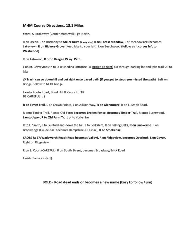
MHM Course Directions, 13.1 Miles Start: S. Broadway (Center cross walk), go North. R on Union, L on Harmony to Miller Drive (4 way stop) R on Forest Meadow, L of Meadowlark (becomes Lakeview) R on Hickory Grove (Keep lake to your left) L on Beechwood (follow as it curves left to Westwood) R on Ashwood, R onto Reagan Pkwy. Path. L on Rt. 3/Weymouth to Lake Medina Entrance (@ Bridge go right) Go through parking lot and take trail UP to lake @ Trash can go downhill and cut right onto paved path (If you get to steps you missed the path) Left on Bridge, follow to NEXT bridge. L onto Foote Road, Blind Hill & Cross Rt. 18 BE CAREFUL! : ) R on Timer Trail, L on Crown Pointe, L on Allison Way, R on Glenmoore, R on E. Smith Road. R onto Timber Trail, R onto Old Farm becomes Broken Fence, Becomes Timber Trail, R onto Burntwood, L onto Japer, R to Old Farm Tr. L onto Yorkshire R to E. Smith, L to Guilford and down the hill. L to Berkshire, R on Falling Oaks, R on Smokerise R on Brookledge (Cul-de-sac becomes Hampshire & Fairfax), R on Smokerise CROSS Rt 57/Wadsworth Road (Road becomes Valley), R on Ridgeview, becomes Overlook, L on Gayer, Right on Ridgeview R on S. Court (CAREFUL), R on South Street, becomes Broadway/Brick Road Finish (Same as start) BOLD= Road dead ends or becomes a new name (Easy to follow turn)

