GEOG104 SLOs
advertisement
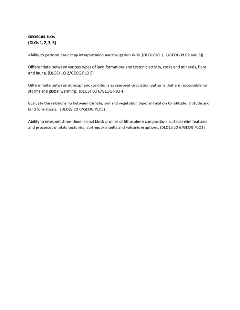
GEOG104 SLOs (DLOs 1, 2, 3, 5) Ability to perform basic map interpretation and navigation skills. (DLO2/ILO 1, 2/GEOG PLO2 and 3)) Differentiate between various types of land formations and tectonic activity, rocks and minerals, flora and fauna. (DLO5/ILO 2/GEOG PLO 5) Differentiate between atmospheric conditions as seasonal circulation patterns that are responsible for storms and global warming. (DLO3/ILO 6/GEOG PLO 4) Evaluate the relationship between climate, soil and vegetation types in relation to latitude, altitude and land formations. (DLO2/ILO 6/GEOG PLO5) Ability to interpret three-dimensional block profiles of lithosphere composition, surface relief features and processes of plate tectonics, earthquake faults and volcanic eruptions. (DLO1/ILO 6/GEOG PLO2)
