Revised Submittal Checklist - Milwaukee Metropolitan Sewerage
advertisement
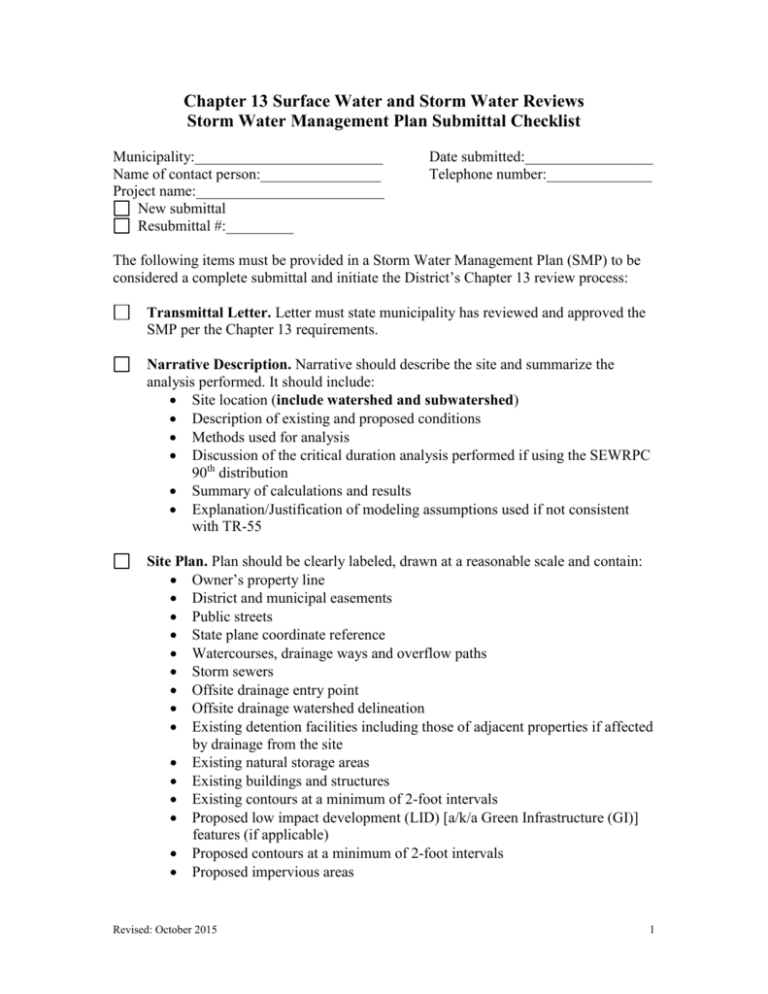
Chapter 13 Surface Water and Storm Water Reviews Storm Water Management Plan Submittal Checklist Municipality:_________________________ Name of contact person:________________ Project name:_________________________ New submittal Resubmittal #:_________ Date submitted:_________________ Telephone number:______________ The following items must be provided in a Storm Water Management Plan (SMP) to be considered a complete submittal and initiate the District’s Chapter 13 review process: Transmittal Letter. Letter must state municipality has reviewed and approved the SMP per the Chapter 13 requirements. Narrative Description. Narrative should describe the site and summarize the analysis performed. It should include: Site location (include watershed and subwatershed) Description of existing and proposed conditions Methods used for analysis Discussion of the critical duration analysis performed if using the SEWRPC 90th distribution Summary of calculations and results Explanation/Justification of modeling assumptions used if not consistent with TR-55 Site Plan. Plan should be clearly labeled, drawn at a reasonable scale and contain: Owner’s property line District and municipal easements Public streets State plane coordinate reference Watercourses, drainage ways and overflow paths Storm sewers Offsite drainage entry point Offsite drainage watershed delineation Existing detention facilities including those of adjacent properties if affected by drainage from the site Existing natural storage areas Existing buildings and structures Existing contours at a minimum of 2-foot intervals Proposed low impact development (LID) [a/k/a Green Infrastructure (GI)] features (if applicable) Proposed contours at a minimum of 2-foot intervals Proposed impervious areas Revised: October 2015 1 Drainage Basin Delineation. Onsite and offsite areas tributary to the detention basin(s) must be delineated. Flow paths should be clearly marked. Drainage Basin Data. Basin areas Impervious areas Soil types (source reference) Curve number calculations Time of concentration calculations Proposed Conditions Hydrograph. Proposed Conditions with Detention Hydrograph. Critical Duration Analysis (if applicable). Detention Basin Design. Elevation versus storage relation for each detention basin Computer model analysis of hydrograph routing through the pond for the 2and 100-year event or calculations [Note: include model data for 2- and 100-year events or calculations; other storms event can be submitted but will not be reviewed.] Peak outflow versus required unit release rate or presentation of runoff volume during critical time period shown in table or hydrograph plot Outlet Design. Drawing or sketch Rating curve Calculations If modeling with a free discharge, identify where storm sewer/ditch drains and invert elevation If porous pavement used Justification of void space used (30-40% is typical) Computer Model Input and Output or Hydrograph and Routing Calculations. LID Quicksheet pages as appropriate to document use of Low Impact Development onsite. Maintenance Plan and Responsible Party Designation. Maintenance plan Identification of responsible party Funding source Signed letter Revised: October 2015 2 Additional Items Required when the Volumetric Design Procedure is Used: Existing Conditions Hydrograph. Flood Volume Calculations. Critical time period used Computation of existing and proposed flood volume Additional Items Required when a Multi-site Analysis is Performed: Use of the Volumetric Design Procedure for Storage Facilities. Analysis of Ultimate Development in Tributary Watershed. Construction Sequence and Schedule. Plan must show adequate storm water management will be provided throughout the multiple phases of construction. Identification of All Responsible Parties. Analysis of Required Funding. Financial and Legal Documentation. Identification of Required Drainage/Conveyance Improvements Between the Developments of the Multi-site Facility. Determine Effective Conveyance to Multiple Storage Facilities. Multi-jurisdictional Coordination Plan and Necessary Agreements. Items Required for Land Disturbances Greater than 2 Acres and Less than 0.5 Acres of New Impervious Surface: Transmittal Letter. Letter must state community has reviewed and approved the SMP per the Chapter 13 requirements. Narrative Description. Narrative should describe the site and summarize the analysis performed. It should include: Site location (include watershed and subwatershed) Description of existing and proposed conditions Methods used for analysis Discussion of the critical duration analysis performed if using the SEWRPC 90th distribution Summary of calculations and results Revised: October 2015 3 Site Plan. Plan should be clearly labeled, drawn at a reasonable scale and contain: Owner’s property line District and municipal easements Public streets State plane coordinate reference Watercourses, drainage ways and overflow paths Storm sewers Offsite drainage entry point Offsite drainage watershed delineation Existing detention facilities including those of adjacent properties if affected by drainage from the site Existing natural storage areas Existing buildings and structures Existing contours at a minimum of 2-foot intervals Proposed low impact development (LID) [a/k/a Green Infrastructure (GI)] features (if applicable) Proposed contours at a minimum of 2-foot intervals Proposed impervious areas Proposed areas of land disturbing activity, which includes demolition and construction Drainage Basin Delineation. Onsite and offsite areas tributary to the detention basin(s) must be delineated. Flow paths should be clearly marked. Drainage Basin Data. Basin areas Impervious areas Soil types (source reference) Curve number calculations Time of concentration calculations Proposed Conditions Hydrograph. Proposed Conditions with Detention Hydrograph. Detention Basin Design (if applicable). Elevation versus storage relation for each detention basin Computer model analysis of hydrograph routing through the pond for the 2and 100-year event or calculations [Note: include model data for 2- and 100year events or calculations; other storms event can be submitted but will not be reviewed.] Peak outflow versus required unit release rate or presentation of runoff volume during critical time period shown in table or hydrograph plot Revised: October 2015 4 Outlet Design (if applicable). Drawing or sketch Rating curve Calculations Computer Model Input and Output or Hydrograph and Routing Calculations. LID Quicksheet pages as appropriate to document use of Low Impact Development onsite. Maintenance Plan and Responsible Party Designation. Maintenance plan Identification of responsible party Funding source Signed letter File Naming if submitting electronically (via email or ESPS portal) Project name _Cover: Letter from municipality, introduction/tech memo Project name _Plans: All pre and post plans for the site Project name _Model: each storm event needs to be booked marked or can be submitted via separate PDFs. For example: Green Street_2yrProposed.pdf Submit completed submittal packages to: Debra Jensen, Planning Services Supervisor Milwaukee Metropolitan Sewerage District 260 West Seeboth Street Milwaukee, WI 53204 District SharePoint Website (Starting January 2016) Email: DJensen@mmsd.com Revised: October 2015 5
