flood and landslide hazard forecasting, warning and response
advertisement
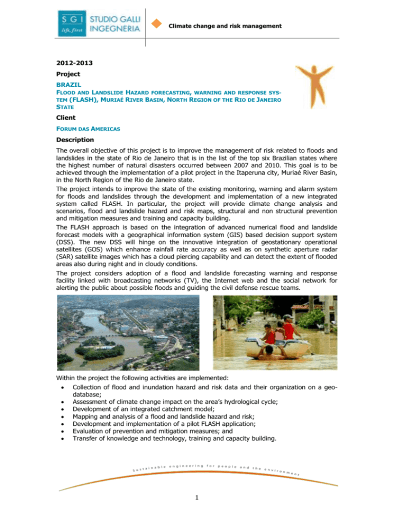
Climate change and risk management 2012-2013 Project BRAZIL FLOOD AND LANDSLIDE HAZARD FORECASTING, WARNING AND RESPONSE SYSTEM (FLASH), MURIAÉ RIVER BASIN, NORTH REGION OF THE RIO DE JANEIRO STATE Client FORUM DAS AMERICAS Description The overall objective of this project is to improve the management of risk related to floods and landslides in the state of Rio de Janeiro that is in the list of the top six Brazilian states where the highest number of natural disasters occurred between 2007 and 2010. This goal is to be achieved through the implementation of a pilot project in the Itaperuna city, Muriaé River Basin, in the North Region of the Rio de Janeiro state. The project intends to improve the state of the existing monitoring, warning and alarm system for floods and landslides through the development and implementation of a new integrated system called FLASH. In particular, the project will provide climate change analysis and scenarios, flood and landslide hazard and risk maps, structural and non structural prevention and mitigation measures and training and capacity building. The FLASH approach is based on the integration of advanced numerical flood and landslide forecast models with a geographical information system (GIS) based decision support system (DSS). The new DSS will hinge on the innovative integration of geostationary operational satellites (GOS) which enhance rainfall rate accuracy as well as on synthetic aperture radar (SAR) satellite images which has a cloud piercing capability and can detect the extent of flooded areas also during night and in cloudy conditions. The project considers adoption of a flood and landslide forecasting warning and response facility linked with broadcasting networks (TV), the Internet web and the social network for alerting the public about possible floods and guiding the civil defense rescue teams. Within the project the following activities are implemented: Collection of flood and inundation hazard and risk data and their organization on a geodatabase; Assessment of climate change impact on the area’s hydrological cycle; Development of an integrated catchment model; Mapping and analysis of a flood and landslide hazard and risk; Development and implementation of a pilot FLASH application; Evaluation of prevention and mitigation measures; and Transfer of knowledge and technology, training and capacity building. 1

