Discover Our Earth Topics-Topography
advertisement
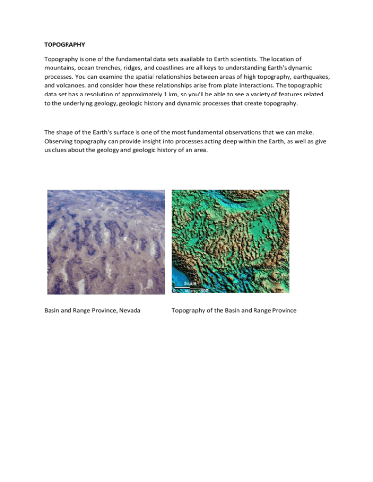
TOPOGRAPHY Topography is one of the fundamental data sets available to Earth scientists. The location of mountains, ocean trenches, ridges, and coastlines are all keys to understanding Earth's dynamic processes. You can examine the spatial relationships between areas of high topography, earthquakes, and volcanoes, and consider how these relationships arise from plate interactions. The topographic data set has a resolution of approximately 1 km, so you'll be able to see a variety of features related to the underlying geology, geologic history and dynamic processes that create topography. The shape of the Earth's surface is one of the most fundamental observations that we can make. Observing topography can provide insight into processes acting deep within the Earth, as well as give us clues about the geology and geologic history of an area. Photo courtesy of NASA Basin and Range Province, Nevada Basin and Range Province, Nevada Topography of the Basin and Range province. Topography of the Basin and Range Province Topography and Tectonics Why are some mountains very high, such as those in the Himalayas, while others--like the Appalachians--are much lower? Mountains and all areas of high topography need to be maintained by some sort of dynamic process. If not they will eventually erode and become flat plains. The existence of regions of high topography tells us that some sort of tectonic process must be operating, even if we cannot observe it directly. Left:Location of Himalayan cross-section drawn in red on top of topography. Right: Cross-sectional view of the Himalayas In the Himalayan Mountains of Asia, two of the Earth's tectonic plates are converging. The Indian plate is moving northward and colliding with the Asian plate. Because both India and Asia are made of continental crust, which is thick and low-density, the plates buckle and bend, creating a thick and deformed region of continent. This deformation is seen at the surface as the high peaks of the Himalayas. The collision is accompanied by many earthquakes. Additionally, the high topography above the surface is mirrored in the subsurface by a "crustal root," a region of thick crust extending down into the mantle, just as the high mountains extend upward into the atmosphere. Topography and Geology The topography of a region is often strongly influenced by the underlying geology. For example, some rock types are very resistant to erosion and form cliffs and ridges, while other rocks are softer and easily eroded, forming valleys and slopes. Topography and Isostasy Isostasy 1.1 Experiment with Isostacy by changing the block height and density, and the liquid density. Values can be reset by clicking the Reset button. If you have an older computer you may wish to select a lower Demo Quality in order for the demo to run faster. We recommend closing this window when Isostasy 1.1 is not in use.
