text - Table Rock HOA
advertisement
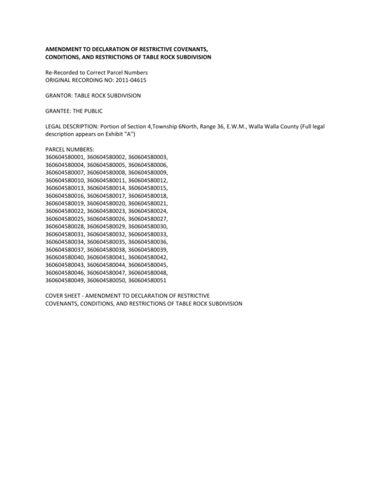
AMENDMENT TO DECLARATION OF RESTRICTIVE COVENANTS, CONDITIONS, AND RESTRICTIONS OF TABLE ROCK SUBDIVISION Re-Recorded to Correct Parcel Numbers ORIGINAL RECORDING NO: 2011-04615 GRANTOR: TABLE ROCK SUBDIVISION GRANTEE: THE PUBLIC LEGAL DESCRIPTION: Portion of Section 4,Township 6North, Range 36, E.W.M., Walla Walla County (Full legal description appears on Exhibit "A'') PARCEL NUMBERS: 360604580001, 360604580002, 360604580003, 360604580004, 360604580005, 360604580006, 360604580007, 360604580008, 360604580009, 360604580010, 360604580011, 360604580012, 360604580013, 360604580014, 360604580015, 360604580016, 360604580017, 360604580018, 360604580019, 360604580020, 360604580021, 360604580022, 360604580023, 360604580024, 360604580025, 360604580026, 360604580027, 360604580028, 360604580029, 360604580030, 360604580031, 360604580032, 360604580033, 360604580034, 360604580035, 360604580036, 360604580037, 360604580038, 360604580039, 360604580040, 360604580041, 360604580042, 360604580043, 360604580044, 360604580045, 360604580046, 360604580047, 360604580048, 360604580049, 360604580050, 360604580051 COVER SHEET - AMENDMENT TO DECLARATION OF RESTRICTIVE COVENANTS, CONDITIONS, AND RESTRICTIONS OF TABLE ROCK SUBDIVISION COMES NOW the Table Rock Homeowner's Association (hereinafter called "The Association"), through its Board of Directors and Officers and, on behalf of the owners, does hereby declare that the lands described on Exhibit "A" shall be subject to this Amendment to Declaration for Restrictive Covenants, Conditions, and Restrictions of Table Rock Subdivision. The Covenants herein set forth shall run with the land and shall be binding upon all parties acquiring title to the land. The lots in the Subdivision have previously been subject to the Declaration of Restrictive Covenants and this Amendment continues to make all lands subject to the Declaration and Amendment. This Amendment shall be effective as of January 18, 2011. RECITALS WHEREAS, a Declaration of Restrictive Covenants, Conditions, and Restrictions of Table Rock Subdivision was recorded on February 24, 2004 under Auditor's File No. 2004- 01914; WHEREAS, the Declaration provides that it may be amended in writing by a 70% majority of landowners in the Subdivision; WHEREAS, the homeowners, by a 70% or more majority vote, agreed to amend the Declaration of Restrictive Covenants as set forth herein; WHEREAS, the Residential Committee identified in the original Declaration has been replaced by vote of the homeowners, and the Board of Directors of the Homeowner's Association now acts in the capacity of Residential Committee. NOW THEREFORE, the Declaration of Restrictive Covenants, Conditions, and Restrictions of Table Rock Subdivision is hereafter amended as follows: 1. Description of Land: The Declaration of Restrictive Covenants, Conditions, and Restrictions of Table Rock Subdivision has been, and this Amendment is, made and applied to the real property identified on Exhibit "A" attached hereto and incorporated herein by reference. This Amendment applies with respect to all such real property described on Exhibit "A". Article 6(d) concerning the Quality of Residence is replaced and amended as follows: 6. Land Use: (d) Quality of Residence: No residence shall be permitted on any lot at a cost of less than an amount fixed from time to time by the Board of Directors of the Homeowner's Association. The intention and purpose of this covenant is to assure that all residences shall be of a uniformly excellent quality of workmanship and materials, and of sufficient floor space to create the desired appearance and residential tone of Table Rock Subdivision for attractive residences and to maintain the value of the property for residential purposes. No trailer, tent, shack, mobile home, motor home, temporary building, green house, guest house, or similar structure shall be erected upon any lot in Table Rock Subdivision. Outbuildings may be erected under the following conditions: 1. 2. 3. 4. 5. Plans must be approved by the Board of Directors prior to commencement of construction. Outbuildings must be constructed with materials similar to that of the primary residence; metal buildings are expressly prohibited. Plans must show location of proposed outbuilding on the lot: Outbuildings must be low enough so as not to be seen from the street and blocked by appropriate fencing, as such fencing is described in Article 11 of this Declaration. Outbuildings in place as of November l, 2010, shall be grandfathered in and no modifications shall be required to these structures. All structures will be built on site. All residences will be completed within one year from date or permit issuance. All residences will fill out and submit the Pre-Construction Agreement requested by the Board. All homes will install a minimum of forty (40) year composition roofing material. Article 8 concerning vehicles shall be replaced and amended as follows: 8. Vehicles: No trucks or pickups having a rated carrying capacity larger than a 3/4 ton, commercial type vehicle, motor homes, mobile homes, boats, trailers (mobile or stationary), campers, motorcycles, non-passenger type vehicles or disabled and non-operative vehicles shall be stored or parked on any lot except in a closed garage, nor parked on any street in the Subdivision for more than 48 hours in any one week. No parking of any vehicles will be allowed at any time at the dead-end of Eagle Crest, Thunder Ridge, or Wenaha Drive. Article 22 concerning Amendments shall be replaced and amended as follows: 22. Amendments: This Declaration of Restrictive Covenants can be amended in writing by a 51% majority approval of the landowners in the Subdivision. Such amendments to be effective must be recorded in the Office of the Auditor of Walla Walla County. -The undersigned President and Treasurer have executed this Amendment pursuant to the powers and authority provided in Article 22 of the original Declaration and do hereby attest that this Amendment was properly approved by at least 70% of homeowners within the Subdivision. DATED this 8th day of June, 2011. TABLE ROCK HOMEOWNER'S ASSOCIATION [signature of Courtney Moore, president] [signature of Bradley Rice, treasurer] -STATE OF WASHINGTON ) SS. County of Walla Walla ) I certify that I know or have satisfactory evidence that Courtney Moore and Bradley Rice are the individuals who appeared before me, and said individuals acknowledged that they signed this instrument, on oath stated that they were authorized to execute the instrument and acknowledged it as the President and Treasurer of Table Rock Subdivision to be the free and voluntary act of such parties for the uses and purposes mentioned in the instrument. Dated: June 8th, 2011. [signature and seal of Tom W. Palumbo, notary public] My appointment expires Sept. 15, 2012 LEGAL DESCRIPTION OF TABLE ROCK SUBDIVISION A parcel of land located in the Northwest Quarter of Section 4, Township 6 North, Range 36 E.W.M ., described more particularly as follows: Commencing at the intersection of Kendall Road with McBeth Road; thence South 77°32'13" West for a distance of 2640.00 feet; thence South 12°27'47" East for a distance of 1320.00 feet; thence North 58°28'16" East for a distance of 452.55 feet to the True Point of Beginning for this legal description; thence South 29°57'54" East for a distance of 99.41 feet; thence South 71°48'46" East for a distance of 134.91 feet; thence South 40°54'22" East for a distance of 216.60 feet; thence South 19°17' 16" East for a distance of 54.29 feet; thence South 40°54'22" East for a distance of 284.17 feet; thence South 49°05'38" West for a distance of 142.50 feet; thence South 49°05'38" West for a distance of 50.00. feet; thence South 65°47'51" West for a distance of 149.18 feet; thence South 74°06'34" West for a distance of 251.84 feet; thence South 59°58'44" West for a distance of 168.70 feet; thence South 72°39'03" West for a distance of 129.95 feet; thence South 85°22'28" West for a distance of 138.62 feet; thence South 49°05'38" West for a distance of 162.37 feet to a point on the Northeasterly right of way line of Cottonwood Road; thence along said right of way by the following courses: North 40°54'22" West for a distance of 282.13 feet thence North 40°07'34" West for a distance of 249.23 feet; thence along a curve to the right having a radius of 5699.58 feet and an arc length of 332.29 feet, being subtended by a chord of North 38°27'21" West for a distance of 332.24 feet; thence North 77°32'13" East for a distance of 714.18 feet, departing said right of way line; thence North 58°28'16" East for a distance of 452.55 feet to the True Point of Beginning. TOGETHER WITH and subject to covenants, easements, and restrictions of record. Said property contains 20.021 acres more or less.
