Geography paper 1 ms MBOONI WEST SUB
advertisement
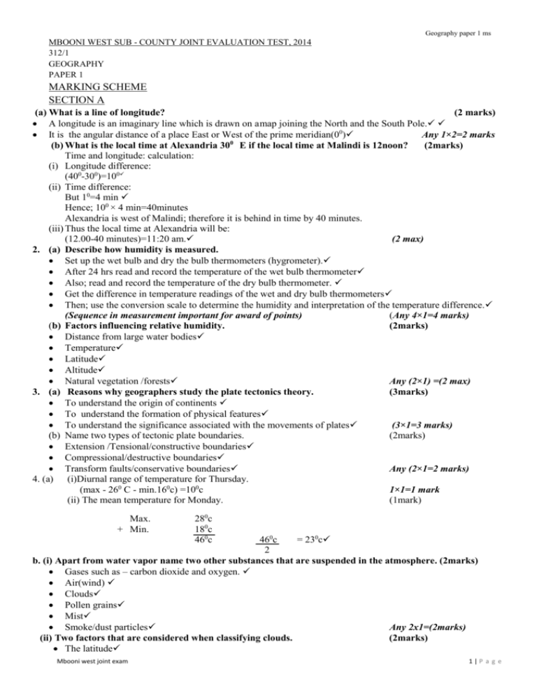
Geography paper 1 ms MBOONI WEST SUB - COUNTY JOINT EVALUATION TEST, 2014 312/1 GEOGRAPHY PAPER 1 MARKING SCHEME SECTION A (a) What is a line of longitude? (2 marks) A longitude is an imaginary line which is drawn on a map joining the North and the South Pole. It is the angular distance of a place East or West of the prime meridian(00) Any 1×2=2 marks (b) What is the local time at Alexandria 300 E if the local time at Malindi is 12noon? (2marks) Time and longitude: calculation: (i) Longitude difference: (400-300)=100 (ii) Time difference: But 10=4 min Hence; 100 × 4 min=40minutes Alexandria is west of Malindi; therefore it is behind in time by 40 minutes. (iii) Thus the local time at Alexandria will be: (12.00-40 minutes)=11:20 am. (2 max) 2. (a) Describe how humidity is measured. Set up the wet bulb and dry the bulb thermometers (hygrometer). After 24 hrs read and record the temperature of the wet bulb thermometer Also; read and record the temperature of the dry bulb thermometer. Get the difference in temperature readings of the wet and dry bulb thermometers Then; use the conversion scale to determine the humidity and interpretation of the temperature difference. (Sequence in measurement important for award of points) (Any 4×1=4 marks) (b) Factors influencing relative humidity. (2marks) Distance from large water bodies Temperature Latitude Altitude Natural vegetation /forests Any (2×1) =(2 max) 3. (a) Reasons why geographers study the plate tectonics theory. (3marks) To understand the origin of continents To understand the formation of physical features To understand the significance associated with the movements of plates (3×1=3 marks) (b) Name two types of tectonic plate boundaries. (2marks) Extension /Tensional/constructive boundaries Compressional/destructive boundaries Transform faults/conservative boundaries Any (2×1=2 marks) 4. (a) (i)Diurnal range of temperature for Thursday. (max - 260 C - min.160c) =100c 1×1=1 mark (ii) The mean temperature for Monday. (1mark) Max. + Min. 280c 180c 460c 460c = 230c 2 b. (i) Apart from water vapor name two other substances that are suspended in the atmosphere. (2marks) Gases such as – carbon dioxide and oxygen. Air(wind) Clouds Pollen grains Mist Smoke/dust particles Any 2x1=(2marks) (ii) Two factors that are considered when classifying clouds. (2marks) The latitude Mbooni west joint exam 1|P a g e Geography paper 1 ms Appearance Structure Formation Any2x1=(2marks) (iii) Two types of clouds that give rise to rainfall in the tropical regions. (2marks) Cumulus Nimbus Cumulus-Nimbus Any2x1=(2marks) 5. Two conditions that lead to deposition of silt at the mouth of a river. (2marks) Overloading Loss of velocity Freezing of the stream Slow moving bodies of water Decrease of stream volume Reduction of stream gradient Presence of barriers/obstacles Any2x1=(2marks) SECTION B: ( Map Work And Map Reading) KARATINA (1:50000), SHEET MAP 6 a. (i) Latitudinal and longitudinal extent of Karatina. 0015’s - 0030’S. ; 37000’ E – 37015’E (2×1=2 marks) (ii) Calculate the area (in square kilometers) enclosed by the property boundary and the district boundary to the south Eastern part of the area shown. (2marks) (i) No. of full squares: 52×1km2=52 km2 (½) No of incomplete squares =40× ½ ×1 km2 =20 km2 Total area= (52+20)=72 km2 (Consider: 71.5_72.5 km2) Total (2×1) (2 marks) b. (i) Vegetation type in grid square 0045. (1mark) - Papyrus; marsh or bog vegetation (any 1×1=1 mark) (ii) Describe the drainage of the area covered by the map. Extract. (4marks) The dominant drainage features in the area are rivers. There are several permanent rivers in the area such as river sagana to the South west and river Ragah Easting 94 and 95 Most of the rivers in the area form a dendritic drainage pattern with their tributaries There are several dams along the courses of most rivers in the area .For example ;in grid square 8349;8348;9348 River Sagana has a meandering course indicating that it is in its mature stage of development. There is a swamp in grid square 0045;0145;0146;0046 Any (3×1) =(3 max) Mbooni west joint exam 2|P a g e Geography paper 1 ms c.(i) (iii) Vertical exaggeration: Vertical scale = (1: 100m x 100) cm Horizontal scale (1: 50,000) cm = 1: 10,000cm 1: 50,000cm = 1 x 50,000cm 10000 1 = (d). (i) (ii) 5 (2 x 1) = 2 marks Means of transport they are likely to have used to travel to Karatina township. Road transport Railway transport (2×1) = 2 Social functions of Karatina that they identified. Educational √ (½) - Evidenced by many schools in the neighborhood. Religion functions √ ( ½ ) - church; mosque in grid square 9147; grid square 9149 Health care functions√ ( ½ ) - Hospital in grid square 9248 The social functions MUST be supported with evidence to score (4) (2×2) =4 max Mbooni west joint exam (2marks) (4marks) 3|P a g e Geography paper 1 ms (iii) Adjoining sheet and number to the south east of Karatina. Embu sheet No. 135/2 (2×1=2 marks) 7. a (i) Relief features that were formed as a result of faulting. Tilt blocks Escarpments/scarp slopes Block mountains/Horsts Any (2×1=2 max) (ii) TENSIONAL FORCES AND THE RIFT VALLEY Impression Correct diagram; well labeled in sequence 4 x1 = 4 max Text 5 x 1 = max 8 Crustal rock layers are subjected to tensional forces due to instability within the earth’s crust. Further tension leads to development of parallel normal faults /lines of weakness develop The middle block gradually subsides or sinks. Mbooni west joint exam 4|P a g e Geography paper 1 ms The depression so created by the sunken middle part forms the Rift valley e.g. ; The Great East African Rift valley and the Rhine Valley in Europe Text 4 Total 8 max (b). Explain four effects of faulting on human activities. (8marks) Faulting (faults scarps) make it difficult to construct roads railways /disconnects. Faulting exposes minerals such as diatomite making extraction easy Step –faulting makes rivers to have waterfalls ;rapids and cataracts thus creating navigation difficulties The scarp slopes /steep slopes tend to discourage settlements. Some rivers such as Katonga in Uganda have had their direction of flow changed. Any (4×2) =8 max (c). (i) Important of reconnaissance (4marks) To familiarize themselves with the area of study To enable them to draw a route map To enable them draw a working schedule /activity plan. To enable them identify/sort out relevant tools/equipment for the study. To identify suitable methods of data collection. To seek permission from the occupants /inhabitants of the site /area of study. To estimate the cost of the field study/prepare finances. Any (4×1) = (4 max) (ii) Disadvantages of using direct observation (3marks) It is expensive It is time consuming It is tiresome It is limited only to direct sources/primary sources. It is only suitable to the assigned people. Any (3×1) = (3 max) 8. (a) THE HYDROLOGICAL CYCLE. TITLE / FRAME = 1 mk other correct details (5x 1) = 5 marks Total = 5 max (b) (i) Corrosion process-As the river flows ,flowing water dissolves readily soluble minerals(especially limestone and removes them in solution form from the rocks .It transports them in solution form (2×1=2 marks) (ii) Abrasion process-Rocks transported by water are used to scratch, scour and grind the river bed and banks this way: the river dislodges rocks and transports them downstream. (2×1=2 marks) (c) Methods of river transportation. (2marks) Solution process Suspension process Traction process Mbooni west joint exam 5|P a g e Saltation process (d) Formation of a waterfall over a fault scarp. Faulting occurs along a river valley. Downward displacement of rocks follows An escarpment is then formed. The river descends the scarps through a waterfall Geography paper 1 ms Any (2×1) = (2 max)) (5marks) Text any (2×1) =2 marks A WATER FALL Diagram: well – labeled (3 x1) = (3marks) (e) Identify two features on the flood-plain. (2marks) Ox-bow lakes Bluffs Deltas Natural levees/embankments Deferred distributaries Braided channels Alluvial fans Any (2×1)=2 marks (f) Explain how a river capture may occur. (3marks) A pirate/more powerful river eroded its valley rapidly headwardly towards a weaker river valley Eventually; the pirate river joins the valley of the weaker stream. All the head waters of the weaker river are diverted into the pirate river Any (3×1)=3 max (g) You have been asked to carry out a field study on a river near your school. Identify four four types of evidence that may indicate that river capture has occurred along the river. (4marks) Musfit stream or beheaded river Elbow of capture Wind gap or a dry valley Point of incision /rejuvenation gorge on the valley of the pirate river. Rejuvenated River valley Any (4×1)=4 max 9. a) Identify the features marked; A, B, C and D (4marks) A - Tarn/cirque lake B - Pyramid peak /Horn C - Arête D - cirque/corrie/com 4×1=4 max b) Describe how each of the features identified in (a) above are formed (16marks) (i) Tarn or Cirque Lake: A pre-existing shallow depression is covered with snow. Snow cuts the floor and sides of the depression by abrasion and sapping Freeze and thaw action steeped the falls by plucking With time the depression enlarges to form a large hollow known as a cirque. Melt-waters from melting ice may fill the depression so created to form a tarn or a cirque lake. For example; Nanyuki form the slopes of Mt.Kenya. Any (4×1)=4 max Mbooni west joint exam 6|P a g e Geography paper 1 ms Diagram 1mk (ii) Pyramidal peak: Ice collects in several hallows on the mountain side Erosion through pludging by ice enlarges the depression so that more ice accumulates in them Abrasion /Nivation cuts into the back wall of the depression which forms knife-edged ridges known as arêtes Eventually the depressions are separated by arêtes which converge at the mountain top forming a pyramid peak (4×1=4 max) Diagram 1mk (ii) Arête: Ice accumulates in adjacent shallow depressions on a mountain side. The depression enlarges due to plucking to form cirques. More ice accumulates in the depressions leading to further glacial erosions The back –walls of the cirques recede until a knife –edge feature called an arête separates them. (4×1)=4 max (Diagram; see; Roman (ii) above) (iv) Cirque /cwm. A pre –existing shallow depression is filled with snow. The snow cuts the floor and the sides of the depression through abrasion and sapping processes. The walls are steepened through glacial plucking The depression enlarges with time to form a large hollow known as a cirque. This creates a steep –back walled depression, shaped like an arm chair called a cwm/cirque. (Diagram see: Roman (I) Above (4×1) =4 max *TOTAL for (b) =16 max c) (i) Types of moraine studied. (2marks) Lateral moraine Medial moraine Englacial moraine Terminal moraine Ground moraine Any (2 ×1=2 max) (ii) Methods of collecting data. (3marks) Taking notes Taking photographs /filming/video taping Drawing sketch diagrams/charts/maps (3×1=3 marks) 10. (a).(i) sources of underground water. (3marks) Rain water Lake/sea water Melt waters Magmatic water (3×1)=3 max (ii) Ways through which water infiltrates into the ground. (2marks) Through permeable rocks –porous rocks have texture; coarse grains through which water infiltrates into the ground. Through joints / faults –such lines of weakness in rocks allow water to pass into the ground. (2×1=2 max) (iii) Formation of an artesian basin An artesian basin is a saucer-shaped depression which consists of a layer of permeable rock sandwiched between two layers of impermeable rocks. Dfn= 1 max AN ARTESIAN BASIN Mbooni west joint exam 7|P a g e Geography paper 1 ms Diagram Max 3 (b) Formation of Clints. All rain water sinks into the ground leaving the surface dry in a karst landscape Rainwater infiltrates through well-jointed limestone rocks. Through corrosion /solution process, deep grooves develop. This eventually leaves behind a low –flat –topped ridge land called Clints. In karst topography clints form rock blocks in between grikes/shallow is depressions. Text: Any (2×1) =2 max A CLINT LANDSCAPE Diagram Max 3 (c.) (i) Meaning of a working schedule. ( 1mark) It is a time able /activity plan showing events /activities and the corresponding time that each event /activity will be undertaken during the field study (1×1=1 mark) (ii)What is the importance of preparing a working schedule in field study? (3marks) It enables students to complete their field study in time Enables the students to divide themselves in working groups It makes the students’ field study more organized By using a working schedule the students are able to evaluate their objectives and hypotheses The students are able to collect adequate data since the working schedule aids in good time management The students are able to estimate the overall time required for the study Any (3×1) =3 marks (iii)Name three underground features you are likely to study. (3marks) Limestone pillars Stalactites Stalagmites Carverns Any (3×1)=3 marks Mbooni west joint exam 8|P a g e
