7-Possible-questions-and
advertisement

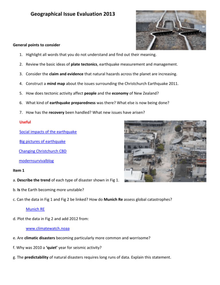
Geographical Issue Evaluation 2013 General points to consider 1. Highlight all words that you do not understand and find out their meaning. 2. Review the basic ideas of plate tectonics, earthquake measurement and management. 3. Consider the claim and evidence that natural hazards across the planet are increasing. 4. Construct a mind map about the issues surrounding the Christchurch Earthquake 2011. 5. How does tectonic activity affect people and the economy of New Zealand? 6. What kind of earthquake preparedness was there? What else is now being done? 7. How has the recovery been handled? What new issues have arisen? Useful Social impacts of the earthquake Big pictures of earthquake Changing Christchurch CBD modernsurvivalblog Item 1 a. Describe the trend of each type of disaster shown in Fig 1. b. Is the Earth becoming more unstable? c. Can the data in Fig 1 and Fig 2 be linked? How do Munich Re assess global catastrophes? Munich RE d. Plot the data in Fig 2 and add 2012 from: www.climatewatch.noaa e. Are climatic disasters becoming particularly more common and worrisome? f. Why was 2010 a ‘quiet’ year for seismic activity? g. The predictability of natural disasters requires long runs of data. Explain this statement. Item 2 a. Why are faults so difficult to find? b. On a blank world outline map locate the plate boundaries and highlight the Pacific ‘Ring of Fire’. c. Draw/find detailed diagrams of; i. Destructive plate boundary ii. Collision zone iii. Constructive plate boundary iv. Conservative/transform plate boundary d. What is the difference between the Richter Scale and the Mercalli Scale for measuring earthquakes? e. On a large copy of Fig 6, plot all the fault zones and add annotations f. What were the effects of the Darfield 7.1M earthquake? g. Why were there so many aftershocks, and what problems did they cause? h. Why was the Christchurch 6.3M earthquake so much more destructive? i. Find photos of the destruction and annotate them to highlight specific features of the earthquake and the type of damage. (Use 3news website below) j. Watch these videos http://www.gns.cri.nz/Home/Our-Science/Natural-Hazards/Recent-Events/Canterbury-quake Why is the magnitude of an earthquake not the only factor that determines the destructive force of an earthquake? k. Use the pictures below to discuss the role of GIS and satellites in earthquake monitoring and assessment http://www.gns.cri.nz/Home/Our-Science/Natural-Hazards/RecentEvents/Canterbury-quake/Satellite-radar-results Item 3 a. What is the difference between an aftershock and a triggered earthquake? b. In some places the fault zone will ‘unzip’ over a prolonged period of time measured in minutes and result in catastrophic damage e.g. 10 things you didn't know about earthquakes (especially the bit about Turkey) and Great California Shakeout 1 and Great California Shakeout 2 How does the fault system return to a point of equilibrium? c. What detailed geological work would Dr Chris Rowan recommend? Item 4 a. Describe the impacts of the earthquake (use A3 sheet) Impacts Primary Secondary Economic Social Environmental Political Physical b. How were different groups of people affected? The photos and link (interesting source) are both very revealing. i. http://www.wsws.org/en/articles/2012/09/eqnz-s22.html ii. Suburbs Gentrified CBD district b. Describe some methods of earthquake proofing (engineering and educative) employed in New Zealand and other MEDCs. Item 5 a. There is a lot of geographical information contained in Lisa’s emails. Describe the impacts on her family and community. b. Living in seismically active areas is dangerous. How should the a. residents of Christchurch and b. New Zealand prepare for the next big earthquake? Item 6 a. Familiarise yourselves with these websites b. How good are the first two websites in conveying information and advice? What is particularly effective? 1. http://www.christchurchquakemap.co.nz/ 2. http://www.gns.cri.nz/Home/Our-Science/Natural-Hazards/Recent-Events/Canterbury-quake/Hidden-fault 3. http://www.3news.co.nz/NZNews/Christchurch-earthquake---PHOTOS/tabid/1125/articleID/199311/Default.aspx Overall Synopticity Data presentation Living with earthquakes/hazard perception Different impacts across the city and amongst different people Relocating and rebuilding Changing urban geography in CBD and suburbs Preparing for the next one Monitoring and prediction GIS and public awareness Plate movements and landscape intepretation


