Global Winds
advertisement
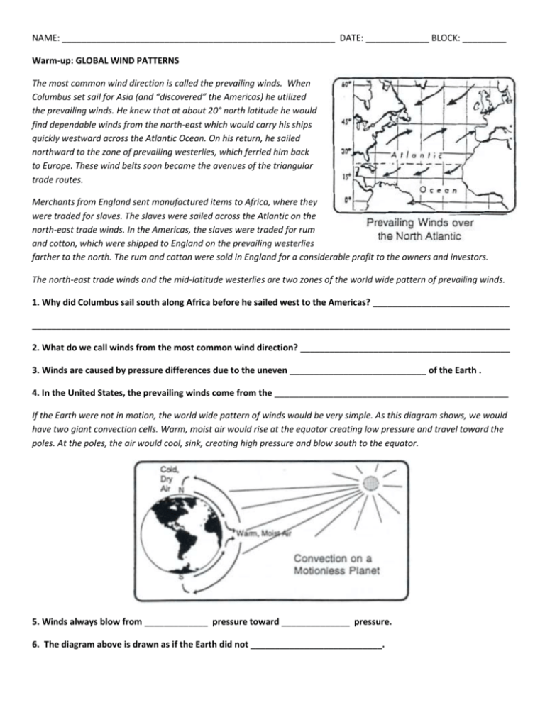
NAME: ________________________________________________________ DATE: _____________ BLOCK: _________ Warm-up: GLOBAL WIND PATTERNS The most common wind direction is called the prevailing winds. When Columbus set sail for Asia (and “discovered” the Americas) he utilized the prevailing winds. He knew that at about 20° north latitude he would find dependable winds from the north-east which would carry his ships quickly westward across the Atlantic Ocean. On his return, he sailed northward to the zone of prevailing westerlies, which ferried him back to Europe. These wind belts soon became the avenues of the triangular trade routes. Merchants from England sent manufactured items to Africa, where they were traded for slaves. The slaves were sailed across the Atlantic on the north-east trade winds. In the Americas, the slaves were traded for rum and cotton, which were shipped to England on the prevailing westerlies farther to the north. The rum and cotton were sold in England for a considerable profit to the owners and investors. The north-east trade winds and the mid-latitude westerlies are two zones of the world wide pattern of prevailing winds. 1. Why did Columbus sail south along Africa before he sailed west to the Americas? ____________________________ __________________________________________________________________________________________________ 2. What do we call winds from the most common wind direction? ___________________________________________ 3. Winds are caused by pressure differences due to the uneven ____________________________ of the Earth . 4. In the United States, the prevailing winds come from the ________________________________________________ If the Earth were not in motion, the world wide pattern of winds would be very simple. As this diagram shows, we would have two giant convection cells. Warm, moist air would rise at the equator creating low pressure and travel toward the poles. At the poles, the air would cool, sink, creating high pressure and blow south to the equator. 5. Winds always blow from _____________ pressure toward ______________ pressure. 6. The diagram above is drawn as if the Earth did not ___________________________. But the Earth is moving; it rotates. Therefore, the Coriolis Force ( or Coriolis Effect) makes the actual pattern more complex. The diagram below shows the true pattern of Earth’s prevailing winds. Notice how the winds curve to the right in the northern hemisphere and to the left in the southern hemisphere. Notice how the winds in the southern hemisphere are a mirror reflection of the northern hemisphere winds. 7. The model above shows the winds deflected to the right or left because of the _______________________ Effect. 8. The winds just above and below the equator usually blow from the _____________________. Most of the wind belt names are easy to understand, but the doldrums may be unfamiliar. The doldrums are the regions of weak and undependable winds near the equator, where warm moist air is often rising. Vertical profiles of Earth’s atmosphere from the North Pole to the South Pole. 9. Along the doldrums, the air moves mostly [ along the Earth ] or [ up higher into the atmosphere ] (Circle one) 10. Why is the climate often wet near the equator and dry at the poles? ______________________________________ __________________________________________________________________________________________________

