now
advertisement
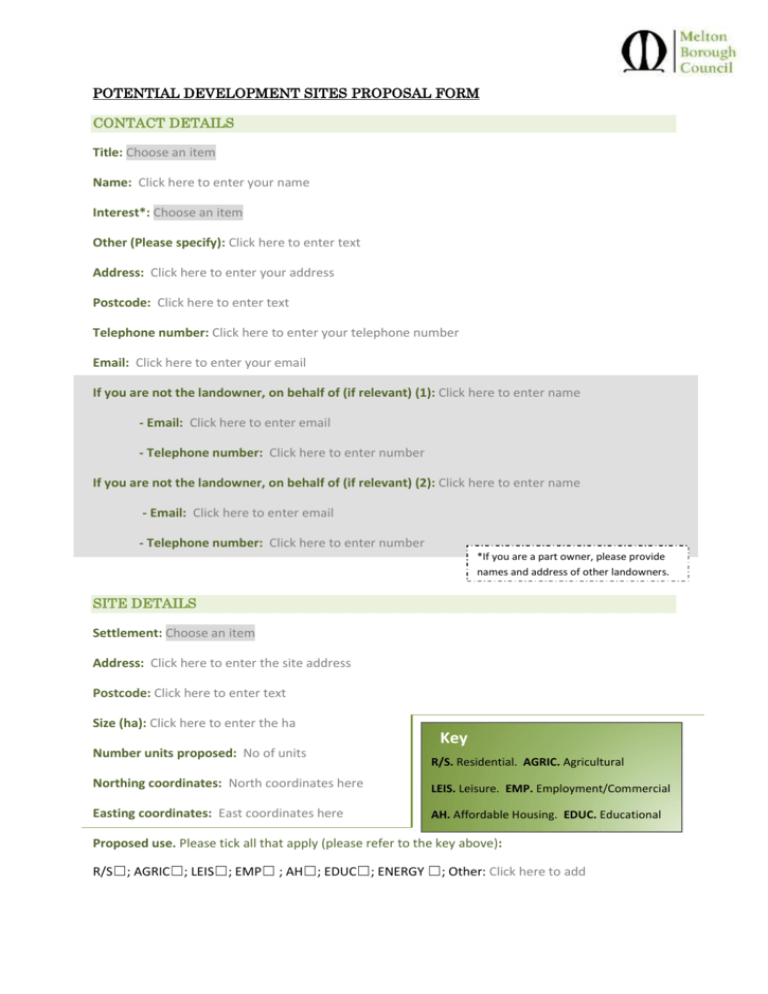
POTENTIAL DEVELOPMENT SITES PROPOSAL FORM CONTACT DETAILS Title: Choose an item Name: Click here to enter your name Interest*: Choose an item Other (Please specify): Click here to enter text Address: Click here to enter your address Postcode: Click here to enter text Telephone number: Click here to enter your telephone number Email: Click here to enter your email If you are not the landowner, on behalf of (if relevant) (1): Click here to enter name - Email: Click here to enter email - Telephone number: Click here to enter number If you are not the landowner, on behalf of (if relevant) (2): Click here to enter name - Email: Click here to enter email - Telephone number: Click here to enter number *If you are a part owner, please provide names and address of other landowners. SITE DETAILS Settlement: Choose an item Address: Click here to enter the site address Postcode: Click here to enter text Size (ha): Click here to enter the ha Number units proposed: No of units Key R/S. Residential. AGRIC. Agricultural Northing coordinates: North coordinates here LEIS. Leisure. EMP. Employment/Commercial Easting coordinates: East coordinates here AH. Affordable Housing. EDUC. Educational Proposed use. Please tick all that apply (please refer to the key above): R/S☐; AGRIC☐; LEIS☐; EMP☐ ; AH☐; EDUC☐; ENERGY ☐; Other: Click here to add Current use: R/S☐; AGRIC☐; LEIS☐; EMP☐ ; AH☐; EDUC☐; ENERGY ☐; Other: Click here to add Predominant adjoining use: R/S☐; AGRIC☐; LEIS☐; EMP☐ ; AH☐; EDUC☐; ENERGY ☐; Other: Click here to add Alternative use proposed: R/S☐; AGRIC☐; LEIS☐; EMP☐ ; AH☐; EDUC☐; ENERGY ☐; Other: Click here to add Relevant Planning History (please, attach additional notes at the end if necessary): Click here to enter text Units type: Choose an item If other, please specify unit types: Other type of unit CONSTRAINTS Biodiversity Are there any biodiversity constraints? Choose an item If there are, please specify: Click here to enter text. Contamination Are there any contamination constraints? Choose an item If there are, please specify: Click here to enter text Landowner consent Choose an item Landowner constraint Choose an item If other, please specify: Click here to enter text Flood Risk Choose an item Will the proposed development impact the character significantly? Choose an item If there are, please specify: Click here to enter text Is there a direct access from public highway? Choose an item If there isn’t, how do you propose to access? Click here to enter text Are there any trees and / or mature hedges on site? Choose an item Are there any TPO designations? Choose an item Are there any heritage designations? (Please, tick all that apply) Listed Buildings ☐; Conservation Area ☐; Scheduled Monument ☐; Don’t know ☐ Are there any Local Plan designations? Choose an item Are there any interventions available to overcome any constraints? Click here to enter text Are there any infrastructure requirements? Click here to enter text Agricultural Land Is the area in a 1, 2 or 3a grade agricultural land? Mineral Consultation Area Choose an item. Are there any other physical constraints (i.e. topographical, undulating land) Choose an item If there are, please, specify: Click here to enter text SITE AVAILABILITY Time frame When do you think the development would commence? Please, complete and return this form including a map that clearly identifies the site to planningpolicy@melton.gov.uk You must give your name and contact details for your site to be considered. This information along with details of ownership will be used for the local planning process in accordance with the Data Protection Act 1998. We will add your details to our consultation database. If you do not wish to be contacted regarding the Melton Local Plan please, tick this box: ☐ Thank you. Notwithstanding any questions asked in this document, please feel free to provide any further technical evidence which will support the assessment of your site through the Local Plan process.
