Call for Sites - Site Information Form
advertisement
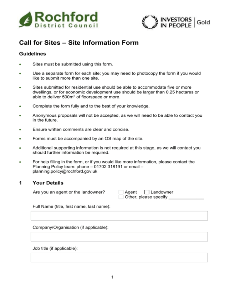
Call for Sites – Site Information Form Guidelines Sites must be submitted using this form. Use a separate form for each site; you may need to photocopy the form if you would like to submit more than one site. Sites submitted for residential use should be able to accommodate five or more dwellings, or for economic development use should be larger than 0.25 hectares or able to deliver 500m2 of floorspace or more. Complete the form fully and to the best of your knowledge. Anonymous proposals will not be accepted, as we will need to be able to contact you in the future. Ensure written comments are clear and concise. Forms must be accompanied by an OS map of the site. Additional supporting information is not required at this stage, as we will contact you should further information be required. For help filling in the form, or if you would like more information, please contact the Planning Policy team: phone – 01702 318191 or email – planning.policy@rochford.gov.uk 1 Your Details Are you an agent or the landowner? Agent Landowner Other, please specify ______________ Full Name (title, first name, last name): Company/Organisation (if applicable): Job title (if applicable): 1 Address (including postcode): Phone number: Email address: 2 Land Ownership Are you or the company you represent, the landowner? Yes No If you are not the landowner, do you or the company you represent have the landowner’s consent to promote development of the site? Yes No Yes No Landowner’s name (including company name and contact): If you are not the landowner, do you or the company you represent have a legal option to purchase the land in question? If Yes, please provide details below (e.g. the duration of the legal option on the land): Are there any leaseholders on the site? Yes If Yes, please provide details below (e.g. the number of leaseholders, and when leases will expire): 2 No 3 Site Details Site Address or Location: Site Area (hectares): What is the current use of the site? Is the site vacant or in use? Vacant Is the site previously developed (brownfield) or greenfield (undeveloped) land? In use Previously developed land Greenfield land What are the land uses bordering, or near to, the site? Are any of the features listed below present on, or close to, the site? Please tick all that apply: Woodland Steep slopes Trees Electricity pylons or overhead lines Hedgerows Underground infrastructure Ponds None Land prone to flooding Other If Other, or if you would like to expand your answer, please provide more detail below: 3 Do any of the features selected above present a constraint which could impact on the development of the site? Yes No If Yes, please provide more detail below, for example how you propose the constraint(s) could be overcome: Would the site need to be cleared before development can take place? Yes No What would you like the site to be used for in the future? Housing Industrial / Storage / Distribution Education Offices Health Mixed development of different uses Leisure/Recreation Cultural Gypsy, Traveller & Travelling Showpeople Pitches Other If Other, please provide more details below: If you are proposing the site to be used for housing, how many dwellings do you feel could reasonably be developed on the site (taking account of gardens, roads, and other infrastructure which may be required)? If you are proposing the site for housing, please indicate the type or tenure of housing you would provide (please tick all that apply): Market housing Private rented housing Self build housing Social housing Retirement housing Intermediate (shared ownership) housing Extra-care housing Other 4 If Other, please provide more details below: 4 Site Access Does the site front a road? Yes No Would existing buildings need to be demolished to gain access to the site? Yes No Do you own, or have unrestricted rights over, the existing or proposed access to the site? Yes No Would the occupiers of the new development have full access rights to the site? Yes No Can you confirm that you, as the landowner, or company or individual representing the landowner, would be willing to actively promote the site for development? Yes No Has the site received any interest from developers? Yes No Yes No If Yes, please state which road(s): 5 Site Availability When will the site become available for development? Site is available now 11-15 years 0-5 years 16-20 years 6-10 years 20+ years Is there any other information regarding the site that you wish to bring to the attention of the Local Planning Authority? 5 If Yes, please provide more details below: 6 Site Map This form must be accompanied by an OS map of the site which clearly shows the site boundary edged in red and at least two named roads to help identification of the site’s location. The map should be A4 or A3 in size and should be clearly labelled with the site’s name and location, and your name and contact details. If only part of your land is being submitted, any other land in your ownership or control should be edged in blue. If there is more than one landowner for the site, these should be clearly defined on the map. A signed statement from each landowner confirming their agreement for the Council to consider the site for future development should be supplied with the map. 7 Agreement I confirm that I have completed this form to the best of my knowledge, and that my personal information may be held by the Council in accordance with the requirements of the Data Protection Act 1998 and used for planning policy purposes. Signed Date: Thank you for completing this questionnaire Please return completed forms and maps before 5pm on 31 March 2016 to the Planning Policy Team, by: Post: Rochford District Council, South Street, Rochford, Essex. SS4 1BW Email: planning.policy@rochford.gov.uk Fax: 01702 318181 6
