ISO Topic and Theme
advertisement
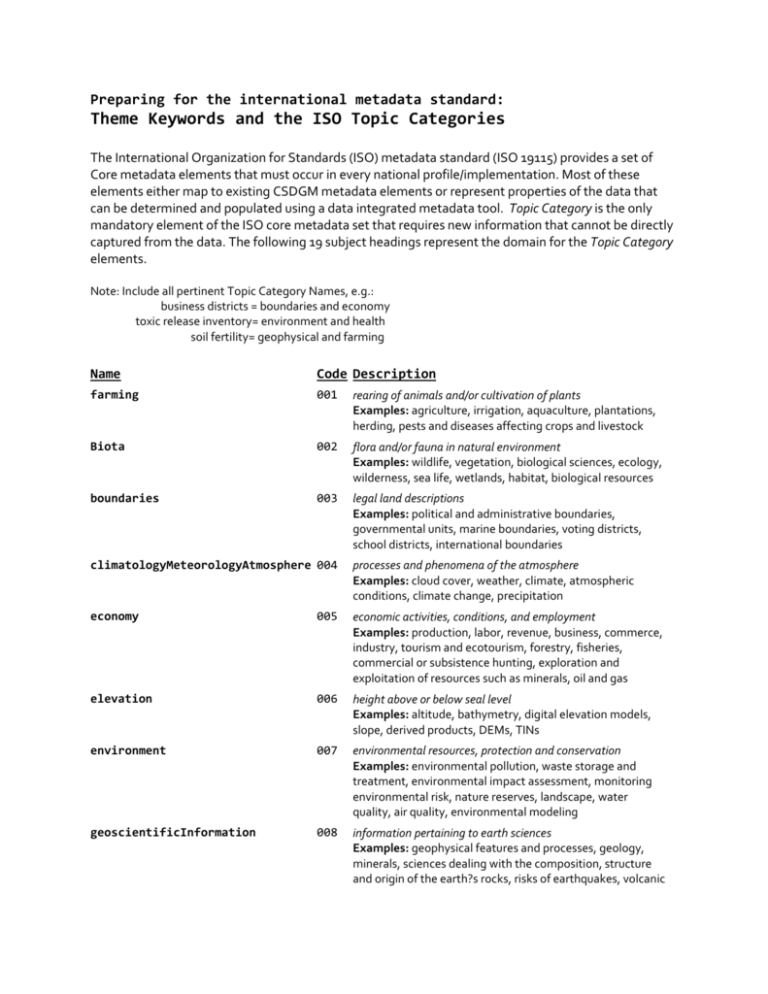
Preparing for the international metadata standard: Theme Keywords and the ISO Topic Categories The International Organization for Standards (ISO) metadata standard (ISO 19115) provides a set of Core metadata elements that must occur in every national profile/implementation. Most of these elements either map to existing CSDGM metadata elements or represent properties of the data that can be determined and populated using a data integrated metadata tool. Topic Category is the only mandatory element of the ISO core metadata set that requires new information that cannot be directly captured from the data. The following 19 subject headings represent the domain for the Topic Category elements. Note: Include all pertinent Topic Category Names, e.g.: business districts = boundaries and economy toxic release inventory= environment and health soil fertility= geophysical and farming Name Code Description farming 001 rearing of animals and/or cultivation of plants Examples: agriculture, irrigation, aquaculture, plantations, herding, pests and diseases affecting crops and livestock Biota 002 flora and/or fauna in natural environment Examples: wildlife, vegetation, biological sciences, ecology, wilderness, sea life, wetlands, habitat, biological resources boundaries 003 legal land descriptions Examples: political and administrative boundaries, governmental units, marine boundaries, voting districts, school districts, international boundaries climatologyMeteorologyAtmosphere 004 processes and phenomena of the atmosphere Examples: cloud cover, weather, climate, atmospheric conditions, climate change, precipitation economy 005 economic activities, conditions, and employment Examples: production, labor, revenue, business, commerce, industry, tourism and ecotourism, forestry, fisheries, commercial or subsistence hunting, exploration and exploitation of resources such as minerals, oil and gas elevation 006 height above or below seal level Examples: altitude, bathymetry, digital elevation models, slope, derived products, DEMs, TINs environment 007 environmental resources, protection and conservation Examples: environmental pollution, waste storage and treatment, environmental impact assessment, monitoring environmental risk, nature reserves, landscape, water quality, air quality, environmental modeling geoscientificInformation 008 information pertaining to earth sciences Examples: geophysical features and processes, geology, minerals, sciences dealing with the composition, structure and origin of the earth?s rocks, risks of earthquakes, volcanic activity, landslides, gravity information, soils, permafrost, hydrogeology, groundwater, erosion health 009 health, health services, human ecology, and safety Examples: disease and illness, factors affecting health, hygiene, substance abuse, mental and physical health, health services, health care providers, public health imageryBaseMapsEarthCover 010 base maps Examples: land/earth cover, topographic maps, imagery, unclassified images, annotations, digital ortho imagery intelligenceMilitary 011 military bases, structures, activities Examples: barracks, training grounds, military transportation, information collection inlandWaters 012 inland water features, drainage systems and characteristics Examples: rivers and glaciers, slat lakes, water utilization plans, dams, currents, floods and flood hazards, water quality, hydrographic charts, watersheds, wetlands, hydrography location 013 positional information and services Examples: addresses, geodetic networks, geodetic control points, postal zones and services, place names, geographic names oceans 014 features and characteristics of salt water bodies (excluding inland waters) Examples: tides, tidal waves, coastal information, reefs, maritime, outer continental shelf submerged lands, shoreline planningCadastre 015 information used for appropriate actions for future use of the land Examples: land use maps, zoning maps, cadastral surveys, land ownership, parcels, easements, tax maps, federal land ownership status, public land conveyance records society 016 characteristics of society and culture Examples: settlements, housing, anthropology, archaeology, education, traditional beliefs, manners and customs, demographic data, tourism, recreational areas and activities, parks, recreational trails, historical sites, cultural resources, social impact assessments, crime and justice, law enforcement, census information, immigration, ethnicity structure 017 man-made construction Examples: buildings, museums, churches, factories, housing, monuments, shops, towers, building footprints, architectural and structural plans transportation 018 means and aids for conveying persons and/or goods Examples: roads, airports/airstrips, shipping routes, tunnels nautical charts, vehicle or vessel location, aeronautical charts, railways utilitiesCommunication 019 energy, water and waste systems and communications infrastructure and services Examples: hydroelectricity, geothermal, solar and nuclear sources of energy, water purification and distribution, sewage collection and disposal, electricity and gas distribution, data communication, telecommunication, radio, communication networks
