GLY 456: ENVIRONMENTAL GEOLOGY – SPRING 2014
advertisement
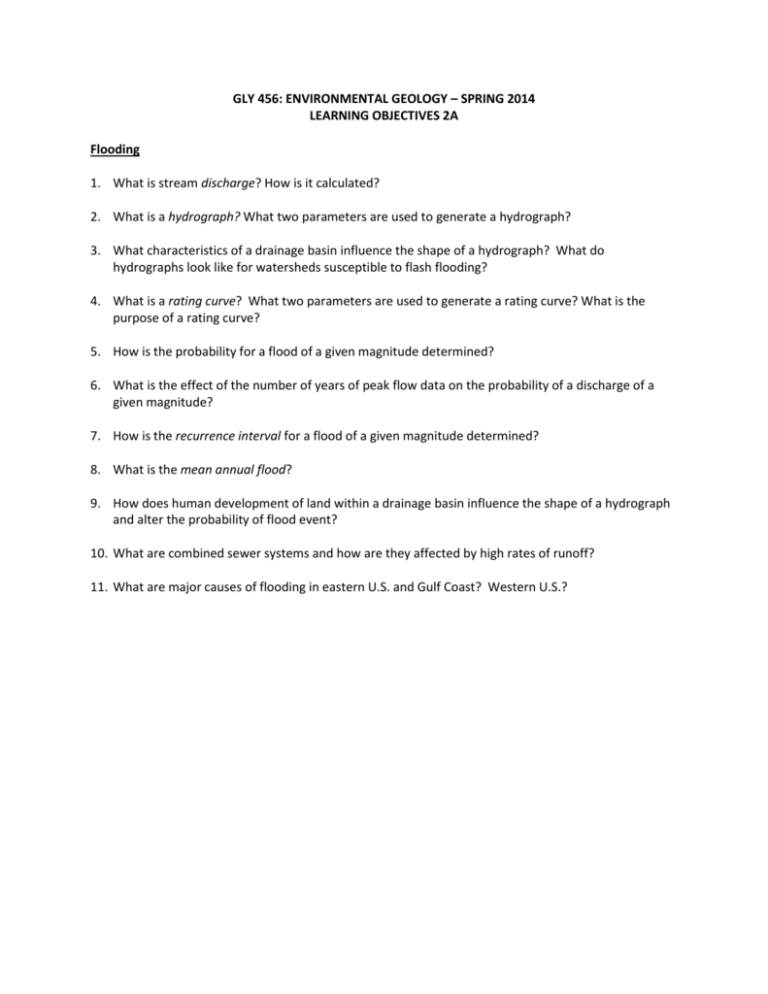
GLY 456: ENVIRONMENTAL GEOLOGY – SPRING 2014 LEARNING OBJECTIVES 2A Flooding 1. What is stream discharge? How is it calculated? 2. What is a hydrograph? What two parameters are used to generate a hydrograph? 3. What characteristics of a drainage basin influence the shape of a hydrograph? What do hydrographs look like for watersheds susceptible to flash flooding? 4. What is a rating curve? What two parameters are used to generate a rating curve? What is the purpose of a rating curve? 5. How is the probability for a flood of a given magnitude determined? 6. What is the effect of the number of years of peak flow data on the probability of a discharge of a given magnitude? 7. How is the recurrence interval for a flood of a given magnitude determined? 8. What is the mean annual flood? 9. How does human development of land within a drainage basin influence the shape of a hydrograph and alter the probability of flood event? 10. What are combined sewer systems and how are they affected by high rates of runoff? 11. What are major causes of flooding in eastern U.S. and Gulf Coast? Western U.S.? GLY 456: ENVIRONMENTAL GEOLOGY – SPRING 2014 LEARNING OBJECTIVES 2B Earthquakes 1. Be able to demonstrate an understanding of basic earthquake mechanics and terminology (e.g., fault, focus, epicenter, seismic waves, etc.) 2. What are the different types of faults in terms of relative motion? How are faults determined to be active, potentially active or inactive? What is a blind fault? What is an earthquake segment? What is a seismic gap? 3. What are the three most common methods are used to describe the size and/or impact of an earthquake? What are the differences? 4. Name the major effects of earthquakes? What are considered primary effects, and which are considered secondary? What causes most deaths and injury during earthquakes? 5. What three factors determine the amplitude of ground shaking caused by an earthquake? 6. What type of seismic wave causes the most damage during an earthquake and why? 7. What determines how damaging ground shaking will be at a particular location? How do rock and soil properties worsen or lessen the amount of shaking and/or damage? 8. How can earthquake hazards be reduced? What are the Alquist-Priolo Earthquake Fault Zoning Act and Seismic Hazard Mapping Act? What seismic hazards are addressed under these Acts and what requirements? 9. What is paleoseismology and how does it play a role in earthquake hazard definition and prediction of future quakes? 10. What four factors are considered in calculating seismic risk?


