Worksheet - The Northern Fertile Plains
advertisement
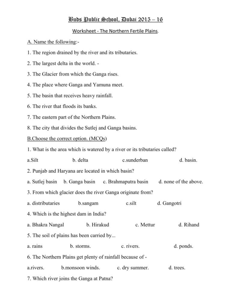
Buds Public School, Dubai 2015 – 16 Worksheet - The Northern Fertile Plains. A. Name the following:1. The region drained by the river and its tributaries. 2. The largest delta in the world. 3. The Glacier from which the Ganga rises. 4. The place where Ganga and Yamuna meet. 5. The basin that receives heavy rainfall. 6. The river that floods its banks. 7. The eastern part of the Northern Plains. 8. The city that divides the Sutlej and Ganga basins. B.Choose the correct option. (MCQs) 1. What is the area which is watered by a river or its tributaries called? a.Silt b. delta c.sunderban d. basin. 2. Punjab and Haryana are located in which basin? a. Sutlej basin b. Ganga basin c. Brahmaputra basin d. none of the above. 3. From which glacier does the river Ganga originate from? a. distributaries b.sangam c.silt d. Gangotri 4. Which is the highest dam in India? a. Bhakra Nangal b. Hirakud c. Mettur d. Rihand 5. The soil of plains has been carried by... a. rains b. storms. c. rivers. d. ponds. 6. The Northern Plains get plenty of rainfall because of a.rivers. b.monsoon winds. 7. Which river joins the Ganga at Patna? c. dry summer. d. trees. a. Gomtri. b. Yamuna. c. Ghaghara d. Son. 8. The Taj Mahal is in – a. Delhi. b. Lucknow. c. Meerut. d. Agra. C. Answer the following in a few words. 1. Name the tributaries of the Ganges. 2. What is a river basin? 3. Why are the Indo-Gangetic Plains known as the food bowl of India? 4. What is the extent of the Northern Plains? 2. Why are the Northern Plains fertile? 3. What is a delta? Describe the Ganges – Brahmaputra Delta. D.Mark the following on a map of India. a. River Ganga, River Yamuna, River Sutlej, Sunderbans. E.Chart work : Find out about the life of the people in the Northern Plains. Make a chart to show their daily activities.
