Ch.7-1 Packet
advertisement
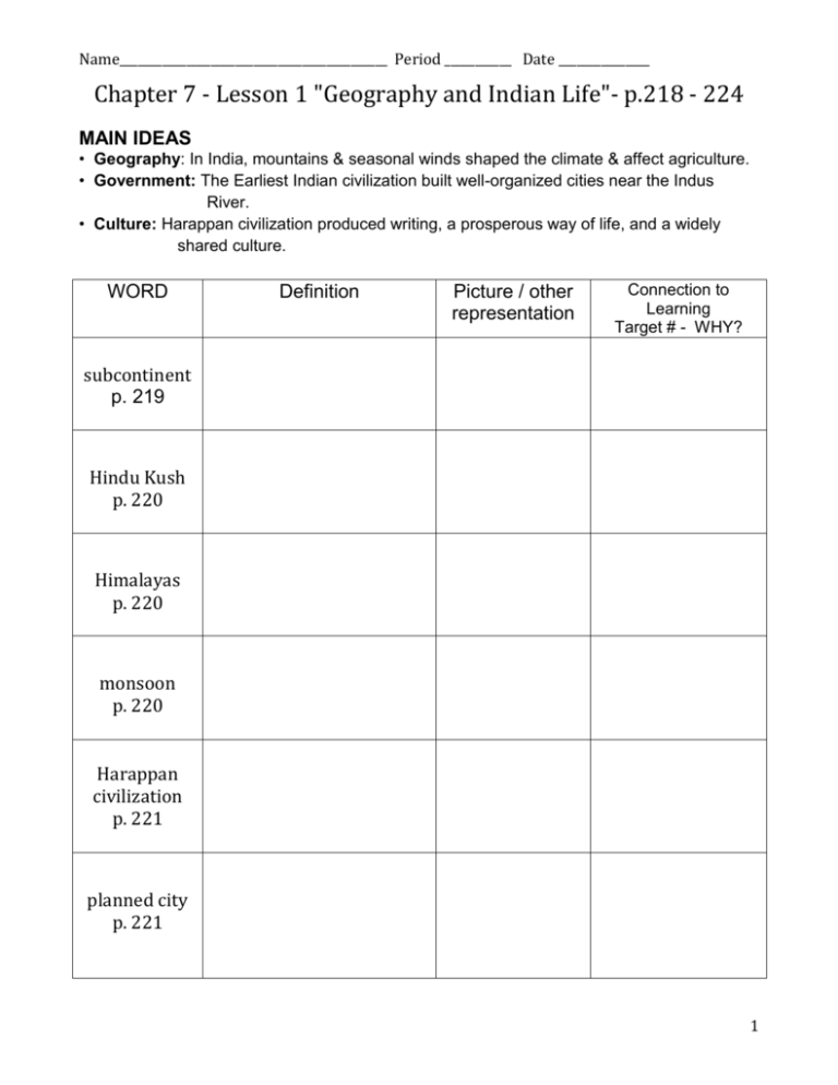
Name____________________________________________ Period ___________ Date _______________ Chapter 7 - Lesson 1 "Geography and Indian Life"- p.218 - 224 MAIN IDEAS • Geography: In India, mountains & seasonal winds shaped the climate & affect agriculture. • Government: The Earliest Indian civilization built well-organized cities near the Indus River. • Culture: Harappan civilization produced writing, a prosperous way of life, and a widely shared culture. WORD Definition Picture / other representation Connection to Learning Target # - WHY? subcontinent p. 219 Hindu Kush p. 220 Himalayas p. 220 monsoon p. 220 Harappan civilization p. 221 planned city p. 221 1 Name____________________________________________ Period ___________ Date _______________ Physical Geography of India p. 219 – 221 Physical Geography of India 1. Why is India considered to be a subcontinent? 2. List the 5 present day countries that use to be part of ancient India. 3. What are the two mountain ranges that are part of the Indian subcontinent AND where are each of these mountain ranges located? • • 4. What were the THREE rivers in ancient India AND where are/ were they located in India? • • • 5. Describe India's climate. What factors influence the climate in India? 6. How do India's rivers and climate affect agriculture? p.220 Geography: 7. Summer and Winter Monsoons – page 220 inset 2 Name____________________________________________ Period ___________ Date _______________ Monsoons Direction of wind What kind of landform do the monsoon winds pass over? Explain what happens as the monsoon winds move. Summer monsoon Winter monsoon Cities in the Indus Valley p. 221 – 222 Cities in the 8. What was the name of the first civilization in the Indus River Valley? Indus Valley Why do you think the earliest Indian civilization located near the Indus River? 9. What were three important crops raised by farmers? What did they do with these crops? Cities in the 10. What animals were domesticated in the Indus Valley? 3 Name____________________________________________ Period ___________ Date _______________ Indus Valley 11. What materials were used to make tools that was more effective than stone? 12. What were the two largest and best known cites in the Indus and Saraswati valleys? • • 13. Harappa was a well planned city, it was built according to a design and the cities had strong leaders. Describe various aspects of the early cities in the Indus Valley. - walls: - streets: - types of buildings in the city / what was the building used for? - bathrooms: 14. How was Harappan civilization similar to other ancient civilizations? Harappan Culture p. 222-224 4 Name____________________________________________ Period ___________ Date _______________ Harappan Culture 15. Writing in Harappa • A mysterious form of writing covered the stone seals that were found in ruined cities. What were the seals used for? • What do scholars think the writing stood for? 16. Religion in Harappa Describe Harappan religion: 17, Spread of Harappan Culture Harappan cities spread across an area that was 500,000 square miles (an area TWICE as big as Texas) in size. What made Harappan culture so successful? 18. Challenges for the Harappan Life What do historians think happened to Harappa & other civilizations on the Saraswati? 19. How long did the Harappan culture last? Lesson Summary (p. 224) • The rivers of India and the seasonal monsoons helped make agriculture possible. • Agricultural wealth led to the rise of a complex civilization in the Indus Valley • The prosperous Harappan culture lasted for about 800 years. Why it matters now (p. 224) Ancient Indians developed products that are still important today. They were the first people to domesticate chickens and the first Asians to produce cotton cloth. Geography Practice - Physical Features of India Across the northern part of India rise high mountain ranges. 5 Name____________________________________________ Period ___________ Date _______________ These mountains separate most of India from the rest of Asia. Just to the south of these mountains stretches a broad area of plains. The Ganges and Brahmaputra rivers run through these plains in the northern and eastern parts of the country, helping to make the land fertile. These river valleys are among the most heavily populated regions of India. The southern part of India is a triangle-shaped peninsula that extends into the Indian Ocean. A section of hilly country separates the peninsula from the plains to the north. The peninsula itself has two distinct areas. Covering most of the center of the peninsula is a high plateau. Along the edges of the peninsula are lowlands that run along the coast in a narrow strip. Use the map on the next page to answer the following questions. 1. Color each of the five physical regions of India a different color. 2. What two bodies of water do the Coastal Lowlands border? 3. Which region is higher in elevation—the Northern Plains or the Peninsular Plateaus? 4. Would you expect the Himalayan Mountain System or the Coastal Lowlands to be more heavily populated / have more people living in their region? Explain your reasoning. 5. Some scientists believe India was once a separate landmass that moved northward and collided with Asia. How do the physical features of India shown on this map support that theory? 6 Name____________________________________________ Period ___________ Date _______________ 7
