topographic maps and digital elevation models
advertisement
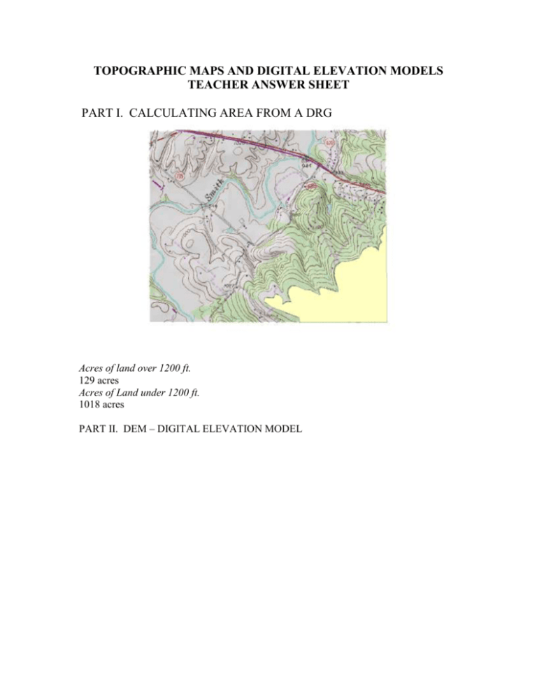
TOPOGRAPHIC MAPS AND DIGITAL ELEVATION MODELS TEACHER ANSWER SHEET PART I. CALCULATING AREA FROM A DRG Acres of land over 1200 ft. 129 acres Acres of Land under 1200 ft. 1018 acres PART II. DEM – DIGITAL ELEVATION MODEL What is the lowest elevation on the DEM? 283.8 m What is the highest elevation on the DEM? 474.6 m What is the elevation of most of the floodplain? 280 – 290 m What is the most common elevation? 283 m 2 What is the spatial resolution of the DEM? 10 m What is the area of one cell or pixel? 100 sq m Changing from Feet to Meters 3 What is the lowest elevation on the DEM now? 936.864 ft What is the highest elevation on the DEM now? 1556.69 ft What did you use as your base contour? 0 How many contours did you create? 62 Do the contour lines that you have created match the contour lines on the DRG? Most of the contour lines match the DRG contour lines. Are there any discrepancies? There is a discrepancy along the river. Can you think of a reason that the lines would not match? There could have been some floodplain land movement or commercial land excavation. Creating hillshade Creating Slope, How does this map help in understanding a topographic map? 4 What is the relationship between slope and the distance between contour lines? The greater the percentage of slope the closer the contour lines are to each other Profile Compare it to the hand drawn profile that you created in the previous exercise. The two profiles are not exactly the same but they are comparable. 5 Helicopter Landing Site Prepare a map and a written explanation of the manufacturing site. There are two potential sites that fit all the parameters. PART V. VIEW THE ELEVATION IN 3D Explain vertical exaggeration. Vertical Exaggeration. The vertical exaggeration is the ratio between the vertical scale and the horizontal scale. If the two are the same the ratio is 1 and there is no vertical exaggeration. If the horizontal scale is 1:24000 and the vertical scale is 1:2400, the vertical exaggeration is: (1/2400)/(1/24000) = 10 6 NOTE: Vertical exaggeration is NEVER used unless there is a definite need for it. If there is no vertical exaggeration, slopes will be shown to scale and approximate slope angles can be scaled from the profile. Use vertical exaggeration only if there are subtle slope features which must be shown, and even then use the smallest exaggeration which has the desired results. Large vertical exaggerations are the prime cause of difficulty in the interpretation of profiles. Compare your descriptions you have written under Part I with the 3D rendering of the DEM. They are the same but much easier to visualize in 3D. 7


