Earth Science
advertisement
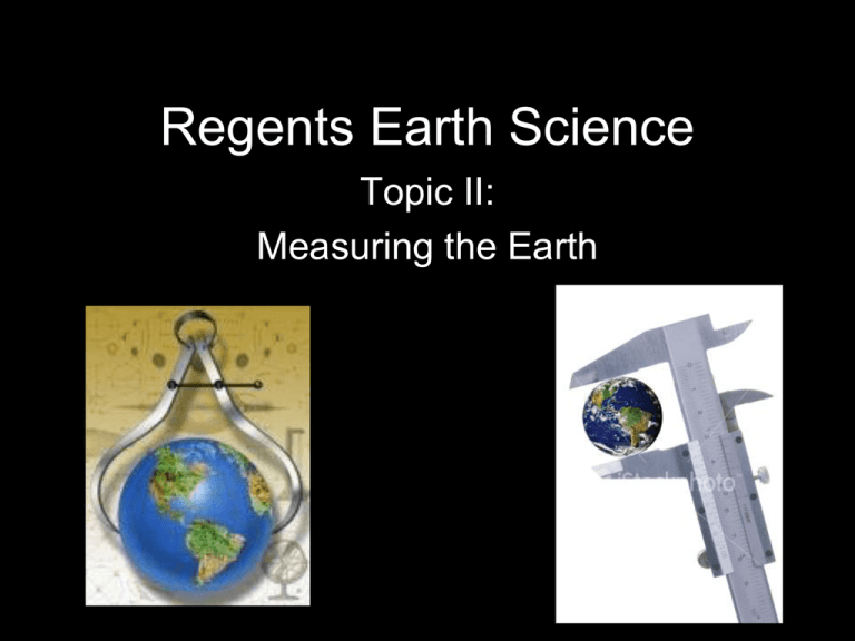
Regents Earth Science Topic II: Measuring the Earth Is the Earth Round? • Not exactly………so Columbus wasn’t right! • The Earth appears round but when “measured”, it is actually flattened at the poles and bulging at the equator… ….**making the Earth a slightly, slightly, slightly, slightly Oblate Spheroid This is not how It looks!!!! How can we tell that the shape of Earth is nearly a sphere? 1. Photographs from space (#1) 2. Masts of ships appearing to “sink” as they travel past the horizon 3. Gravity Measurements (more gravitational pull at the poles—closer to center of Earth = higher weight) 4. Observations of Polaris (the North Star) Spheres of the Earth: • Atmosphere: shell of gases that surround the Earth. – It is layered into zones. Each zone has a specific temperature, and composition • Hydrosphere: all bodies of water on Earth (oceans, lakes, rivers, ground water)— covers 70% of Earth’s surface • Lithosphere: solid portion of the Earth (rock and soil layer) ESRT’s Cover How do you locate Positions on Earth? • Coordinate System: a grid of imaginary lines that are used to locate a point on a two-dimensional surface (a map) • Latitude-Longitude System: the most commonly used coordinate system used for the Earth. This system is based on observations of the sun and other stars. Lines of Latitude (Parallels): • Measures distance north or south of the equator (0° • 90° at Poles • Parallel Lines of Longitude (Meridians): • Measures distances east or west of the Prime Meridian (Prime Meridian is 0-180 is highest) • Lines connect at the north and south poles How do you determine Latitude? • The angle that Polaris makes with the horizon is equal to the person’s latitude (Polaris never moves) • Altitude = Latitude Polaris Facts: • Only seen in the Northern Hemisphere (not south of the Equator) • Points Due (exactly) North • NOT the brightest star in the sky! • Use Pointer Stars to Find • Directly above North Pole “Big Dipper”—easy to see How do you determine Longitude? • Find the time difference between your local time and Greenwich Mean Time (GMT) and then multiply by 15 (Greenwich is at 0 Longitude) – This works because the Earth rotates 15 every hour and the Time Zones are 15 longitude apart (24 total, 1 hour apart) World Time Zones • If your time is EARLIER than the time given for GMT, then you are WEST of the Prime Meridian • If your time is LATER than the time given for GMT, then you are EAST of the Prime Meridian U.S. Time Zones Mapping • Topographic Maps: shows the shape of Earth’s surface by using contour lines (the shape of the lines indicate the shape of the land) What are Contour Lines? • lines of equal elevation (height above sea level) **there are other lines on other types of maps as well (Isotherms: equal temperature / Isobars: equal pressure) What to look for when looking at Topographic Maps: • Contour Interval: difference in height between two adjacent contour lines Index Contour: Bold lines with elevation values Contour Interval = 20 ft. • Scale: distances on a map represent the actual distance on the ground • Map Direction: often indicated by some type of arrow pointing north (if there is no arrow, then north is the top of the map) • Benchmark: a metal marker placed in the ground that shows the exact elevation. ..on a topo map, BM X (Elevation) • Gradient: rate at which a field changes from place to place—also called slope or steepness Change in Field Value Gradient = Distance
