Global Network - SLC Geog A Level Blog
advertisement
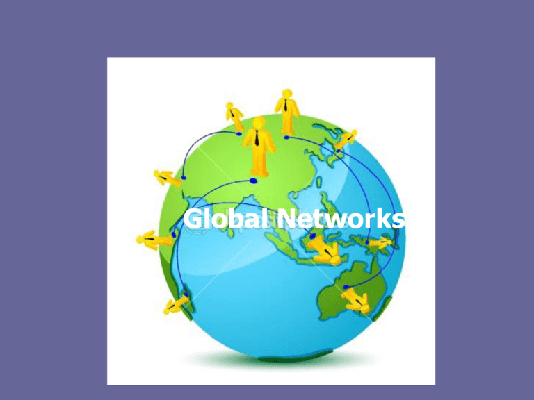
Global Networks Global networks Links between different countries in the world, which includes flows of capital, traded goods, services, information & people are very important. Some places are well connected but others poorly. Network: Illustration or model that shows how different places are linked together. Eg the Tube (underground train) map of London. You can imagine a world map of the most connected countries laid out similarly. See the next slide Global hub: A node (point on a network map) that is especially well connected. Flows: The connections between the hubs are known as flows. Connections between these hubs are called flows and include: 1) Money= major capital flows are routed through global stock markets 2) Raw materials = e.g. food and oil traded between nations 3) Manufactured goods and services = value of world trade is 70 trillion dollars 4) Information = internet has brought real-time communication between distant places 5) People = movement of people still an issue due to border controls and immigration law People Money Raw materials Examples of flows within networks Manufactured goods and services Information The world at night city lights = yellow fishing fleets = green oil flares=red burning forest = purple aurora borealis over greenland = light blue So what does the photo show us? •This can be used to show not only how population is spread out but also where wealth is found. The richest regions of Europe and N.America are brightly lit. We can also see rich core regions in countries with less overall national growth, eg. Brazil. The light represents places which are lit or using heat and are known as ‘switched on’. Terms • The Core – The most developed and highly populated region of a country. The growth of core regions is fed by flows of labour from less well – developed regions. Particularly visible of states like India and China where populations are massive • Switched on places – Nations, regions or cities that are strongly connected to other places through the production and consumption of goods and services. In contrast, places that are poorly connected are said to be relatively switched off i.e. North Korea • This is not suggesting that all other places are ‘switched off’. • Few areas on earth are almost entirely cut off from the rest of the world – maybe only some Amazonian tribes that are in Wilderness Areas. • Wilderness Areas – are areas of the world that have remained relatively untouched by man and is home to only a small number of indigenous people. Examples are Amazonia, Borneo and Antarctica (which is unpopulated). Networks and Flows • We can map out networks and flows on many scales • Since the introduction of GIS, we are able to map out cities and countries based on how well connected they are • The points that connect are called nodes • A global hub is a node that is especially well The world according to Friedman (a connected Geographer) in 1986. This map shows all • Connections between nodes or global hubs the links between the countries at the time are called flows The world according to GaWC (Globalisation and World Cities) set up at Loughborough University. This map shows the most well connected cities. Technology builds global networks •Networks have been built using technology, both transport and communication, which has developed over time. •Using these technologies TNC’s have played a major part in building bridges between countries while air travel and tourist operators facilitate flows or tourists. For increasing numbers of people the effect is of living in a shrinking world. 200 AD – World’s first sailing ships Communication Time Line 1500-1700 – Industrial canals and stagecoach routes reduce land travel times Early 1800s – First steam ship crosses Atlantic in 1819 (29 days) with regular crossings by 1830s Late 1800s – Transatlantic telegraph cable laid in 1866, later to be superseded by telephone. Radio experiments begin in 1890s Early 1900s – Ford motorcar company launched in 1903. First television built in 1926. Boeing commercial flights by 1928. Late 1900s – First mobile phones available in early 1980s. World wide web (internet) developed in 1989 using PC and Modem. Air Travel - faster GIS/GPS - first GPS in 1970s, now 24 in orbit. GIS can collect, manage and analyse satellite data A Shrinking world? Distant places start to feel closer and take less time to reach. Sometimes known as ‘time – space compression’ Internet - large amount of data can be moved across cyberspace and allows office staff to work from home planes with greater capacity e.g. Airbus. Firms e.g. Easyjet have allowed mass air travel Telephone - these replaced 3-week boat trips and laid the ground for TNCs to operate in different countries simultanesouly. Parts of Africa are now 'leapfrogging' straight to mobile phones What builds global networks? • Technology has long since been a driver of revolutionising the way in which national and now international networks operate • TNCs have used technologies to play a major role in building bridges between countries, while air travel has increased the international flows of tourists The world of Facebook Web trends 2007 Time-space compression • In the 1700s it took 2 years for HMS Dolphin (a frigate ship) to travel around the world • In 1930s it took 8 days for a propellor aircraft to travel around the world • In the 1990s it took 31 hours for a Concorde to travel around the world Case study: easyJet • easyJet can be seen as a major influence on creating a global network through its cheap flights • Make case study notes on easyJet using p. 115 • Use the following points to create your case study: • How the company has grown • How it grew into a TNC • The role of technology in its growth • The effect that easyJet has on places in adds to its flight network How is the world becoming smaller? Telephones The Internet Air travel GIS and GPS What happens in global hubs? • These are often major network nodes and are switched on places • Other places want to connect to them • These are often world cities (which we will come on to later) • They are normally the core of the country’s economy. •They possess qualities which makes countries want to trade with them: NATURAL: coastline ideal for trade, strategic location, oil resources and physical factors which aid growth of industry. HUMAN: large labour force, affluence, skilled labour and languages spoken (eg/ English call centres in • A government can encourage the formation of a hub by allocating an area as an export processing zone – a small industrial area often on the coast) where favourable conditions are created to attract foreign TNCs. These conditions include low tax rates and exemptions from tariff and export duties. • They may be technopoles – a cluster of technologically innovative businesses and research institutes eg Silicon Valley California, Silicon Fen Cambridge (UK). • They will experience a multiplier effect - where there are positive spin offs from investment. Other firms may gain business supplying parts, the increase spending power of the workers stimulates the service sector and higher tax revenues may be invested in education and infrastructure. • Business clustering may occur – eg central London is home to a cluster of television production companies and universities that deliver media courses. Cumulative causation • There is a reason why wealth becomes concentrated in certain places. Globalisation increases in places like this, as local people can find global markets for there products or attract employers with their skills What happens in middle to low income countries? • In the richer parts of the world, wealth has spread to peripheral parts of the economies and is not solely concentrated in the core as development began a long time ago (since industrial revolution in 1750). This is what we call trickle down • However, in places that have industrialised quite quickly (like Brazil and South Africa), many people still live in poverty despite the presence of global hubs like Sao Paulo and Johannesburg • Other places like Nigeria which have seen massive growth for its elite from the expansion on the oil industry. However, the Ogoni people living in the delta where oil is extracted have received no money and had to suffer an environmental catastrophe. Switched off places • The very poorest nations remain switched off • They may lack global hubs, or strong flows of trade and investments • Conditions are poor for most people in rural and urban areas e.g. Sudan, Chad and Somalia • There are many reasons for why places continue to be switched off Why do some regions remain relatively switched off Physical Vulnerable to climate change and natural hazards Poor resources for agriculture Lack of coastline deters investment from TNCs seeking an import/export base Challenges Human Low prices for food exports due to over production and trade rules Ethnic clashes between tribes Resources controlled by foreign TNC Politically isolated Infighting and civil war over resources Resources controlled by a small elite Lack of skills and literacy deters investors Reading • See separate summary of ‘switched on’ and ‘switched off’ areas Also: • Read p 110-119 Philip Allan • Answer review questions p 119 • Read p 88-94 Pearson • Answer Exam Practice Q p 95
