Geo-Enabling USAID F Indicators - Online Geospatial Education
advertisement
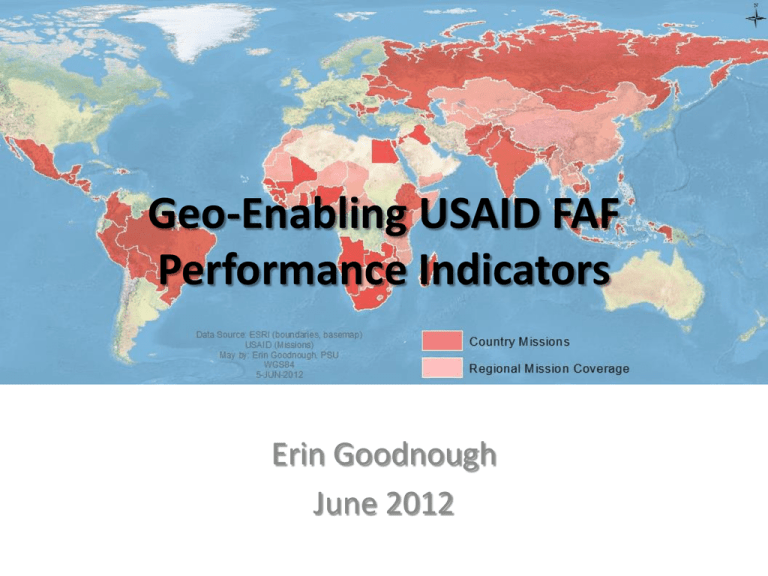
Geo-Enabling USAID FAF Performance Indicators Erin Goodnough June 2012 Table of Contents • Introduction and Background • Research: The Challenge and Justification for the Project • Constraints to Geo-Enabling FAF Indicators • Workplan Background: Foreign Assistance Framework and its Indicators Strategy Program Area 1 Element 1.1 Sub Element 1.1.1 Sub Element 1.1.2 Element 1.2 Country Development Goal Program Area 2 Program Area 3 Element 2.1 Element 3.1 Sub Element 2.1.1 Sub Element 3.1.1 Development Objective/ Assistance Objective 1 Intermediate Results 1.1 Intermediate Result 1.2 Sub Intermediate Results 1.1.1 Sub Intermediate Results 2.1.1 Sub Intermediate Results 1.1.2 Sub Intermediate Results 2.1.1 Activities feed the SubIntermediate Results (with a few exceptions) Development Objective 2 Intermediate Result 2.1 Development Objective 3 Intermediate Result 3.1 Org chart courtesy usaid.gov/about_usaid/orgchart.html Background: Anatomy of a USAID Project USAID Mission Implementing partner 1 Activities Contract/Grant 1 Implementing partner 2 Contract 2 Activities Subcontract/Subgrant 1.1 Subcontract/Subgrant 2.1 Activities Subcontract/Subgrant 1.2 Subcontract/Subgrant 2.2 Implementing Partner 3 Justification for the Project Vision Early Forerunner “The Afghan Info database, enabled to track performance indicators in addition to activity inputs and outputs, will be the basis for contributing to other regular, on-going reporting exercises and to the many ad-hoc requests for performance analysis that are a constant element of the environment of high profile programs. To meet these needs, the addition of the PMP tracking capability, user friendly input interfaces (so that data is recent and accurate), and an agile reporting and analytical module will be essential.” Who interacts with FAF Indicators USAID Implementing Partner External Audience D.C. Office, Mission Director , Bureau Chiefs, Department Administrators Home Office Taxpayers Fine Detail (raw data or finely detailed information products) CTO, Evaluation Teams, Strategic Programmers M&E Staff; Chiefs of Party; Evaluation Teams; Other Donors Finest Detail (raw data) (possible) System Admin, Developers, GIS team Subcontract managers; System Administrators, GIS officers Grand Scheme (Information products) Infrastructure Field Usefulness Inability to Show Progress through FAF Indicators Scalability Scale Accuracy Cross-boundary Data Different Thinking Personalities Temporal Nature of Data Constraints: Practical Complexities Workplan for (596B) Deliverable 1: A functional requirements document for GeoEnabling FAF indicators Understand what end users need Identify FAF indicators that have Geographic components Create a standard space for collecting and storing FAF indicators Help USAID and implementing partners think geographically Develop an illustrative example Deliverable 2: A data Deliverable 3: An schema for FAF illustrative example indicators, geoenabled x x x x x x x Conclusions
