Utah`s Land Regions, Climates and Water
advertisement
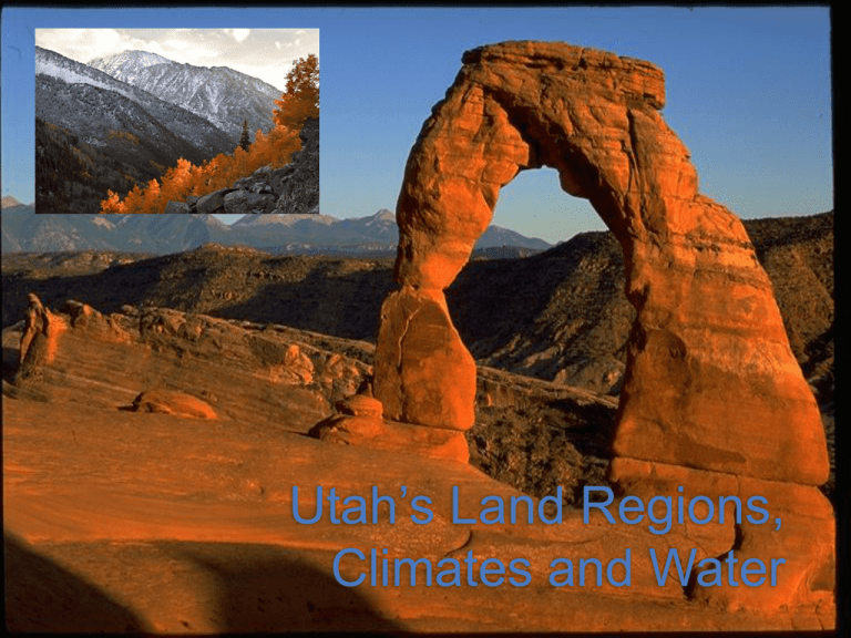
Utah’s Land Regions, Climates and Water Utah’s Three Major Landforms: 1. Basins: Wide bowl-shaped areas 2. Plateaus: High, wide, flat areas 3. Mountains The Great Basin Region •America’s western desert region. •Large flat bow, with small mountains •No connection to the ocean •Formation of Utah Lake and the Great Salt Lake •Location of most of Utah’s cities and towns. The Middle Rocky Mountain Region • Uinta and Wasatch Mountain Ranges •Many forests and home to many wild animals--many parks. •Best snowboarding and skiing in the world •Most important source of water and natural resources. The Colorado Plateau Region •Covers much of Utah •Very dry, little rain •Over millions of years, wind and rain have carved wonderful formations in the soft sedimentary rock. •All 5 of Utah’s national parks are in this region. Qu i c k T i m e ™ a n d a d e c o m p re s s o r a re n e e d e d to s e e th i s p i c t u re . QuickTime™ and a decompressor are needed to see this picture. Question: What was the weather like when you woke up this morning? What is the difference between weather and climate? Weather: condition of the atmosphere at a certain time. Climate: the longterm seasonal pattern of heat and cold, wet and dry conditions. Climate is Referring to 5 Conditions: 1. 2. 3. 4. 5. Temperature Wind Sunshine Humidity Precipitation What affects Utah’s climate? 1. Our latitude 2. Our elevation (how high we are above sea level) 3. Our distance from the ocean Where Does the Rain Fall? • Wind or clouds come from the Pacific Ocean and meet the mountains • Ranges in California and Nevada meet the clouds and rain falls • Rain drops on the western mountain faces • The rest of the clouds continue on.
