Russia
advertisement
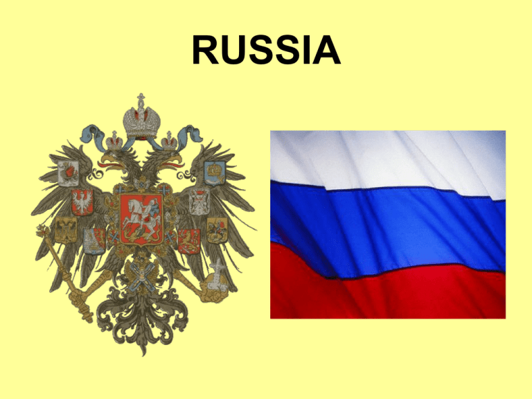
RUSSIA Global Location Major Geographic Qualities • Largest country in the world • Former colonial power • Population and development is concentrated west of the Ural Mountains • Culturally diverse, but dominated by the Russian Culture • Sea ports are limited due to cold climate and ice. Russia’s Land Area • Spans 9 time zones • From East to West: Gulf of Finland to Alaska • From North to South: Above the Arctic Circle to Salt Lake • Twice the size of the United States • Eurasia is the name given to Europe and Asia when they are considered one landmass or continent. Russia (also known today as the Russian Federation) is the world's largest country in area. No other country shares borders with more countries. Much of northern Russia lies above the Arctic Circle. • Just 25 percent of Russia lies in Europe. • However, 80 percent of its population lives there. The European Plain • Much of western Russia is covered by vast plain formed from ice-age glaciers and longterm erosion. • The European Plain is the largest mountain-free landform in Europe. • It stretches from the Pyrenees Mountains and the Atlantic Ocean in the west to the Ural Mountains in the east. • In Western Europe, the plain is relatively narrow (mostly within 200 miles) in the northern part of Europe, but it broadens significantly toward its eastern part in western Russia. The European Plain The Ural Mountains • North to South length covers 2000 miles • Areas west of the Urals— including Ukraine and Belarus—are part of Europe. Those to the east lie in Asia. • The part of Russia that is east of the Urals is known as Siberia. • Central Urals are the lowest section and include several key crossing places • Ural forests and minerals have been the source for industrialization • The region's remaining three countries—Armenia, Azerbaijan, and Georgia—are in the Caucasus Mountains. These high mountains lie between the Black Sea and the Caspian Sea. • The highest point in Europe is on Russia's southern border with Georgia in the Caucasus Mountains. There Mount Elbrus soars to 18,510 feet (5,642 m). • An active tectonic zone, the Caucasus region suffers from severe earthquakes. Siberia • Siberia is a vast region Siberia extending eastward from the Ural Mountains. Siberia includes the central and eastward portion of the Russian Federation. • Siberia makes up about 77% of Russia’s territory, but has only 25% of Russia’s population (36 million people). • Challenging environment – Distance – Cold temperatures – Poor soils • Resource potential – Precious metals – Metallic ores – Oil and natural gas – Timber West Siberian Plain • The world’s largest continuous lowland • Includes several major river basins • Permafrost ground conditions • Wooden windmills are used to grind wheat and rye Central Siberian Plateau • Sparsely settled • Limited Transportation • Restrictive Climate – Short growing seasons – High energy use for heat – Permafrost • Much of Russia lies in the humid continental, subarctic, and tundra climate regions. During the year's five coldest months, rivers and canals throughout the region freeze. In these cold climates a polluted icy fog often hangs over cities during winter. Created by fumes and smoke from cities, this fog is trapped over the cities by the cold air. • In the region's northern areas permafrost is widespread and deep. When the permafrost's surface layer melts in summer, buildings tilt, highways buckle, and railroad tracks slip sideways. • The region's European third has the mildest climates. • In addition, the soils there are better for agriculture and human settlement. • The cold climate and small amount of warm coastline reduce Russia's access to the sea. • The Arctic Ocean can freeze all the way south to Russia's northern shores. • Ship and barge traffic there requires using icebreakers. Icebreaker • Icebreakers are ships that can break up ice in frozen waterways. • However, warm waters of the North Atlantic Drift reach around northern Norway to northwestern Russia. • There you will find Murmansk, Russia's only large ice-free Arctic port. • Differences in climate cause plant life to vary from north to south. Tundra vegetation grows along the northern coast. Low shrubs, mosses, and wildflowers are common there. • To the south is the taiga, a forest of mainly evergreen trees that covers half of Russia. • Fir, larch, pine, and spruce are common. • Farming is limited there because of the short growing season, acidic soils, and permafrost. • The taiga provides wood for building products and paper pulp. Steady logging west of the Ural Mountains has cleared many areas. However, in Siberia the taiga can provide forest resources for a long time to come. Eastern Siberia also has gold and diamond mines. • Still farther south is the drier grassland known as the steppe. Rich soil called chernozem (Russian for "black earth") has built up on the steppe. The grassland, long used for grazing, was plowed under by the 1800s. • Coal, hydroelectricity, natural gas, and oil are the region's main energy resources. Huge oil reserves in the Caspian Sea area are being tapped by all the countries around the sea. Oil and gas fields between the Volga River and the Ural Mountains have been crucial to the region's development. Winter Palace, St. Petersburg Winter Palace St. Isaac’s Cathedral Peterhof Palace, St. Petersburg Peterhof, St. Petersburg Peterhof, St, Petersburg Peterhof Palace, St, Petersburg Peterhof Palace, St. Petersburg The Kremlin, Moscow Moscow Moscow Churches Moscow Moscow Restaurant Ural Mountains Siberia Siberian Tigers Russia -Communism - Northern European Plain - Siberia - Lakes * The Caspian Sea * The Aral Sea * Lake Baikal - Resources -* Oil and natural gas -* Timber from the Taiga
