Quality Assessment of Roads in Colorado Based on Satellite Imagery
advertisement
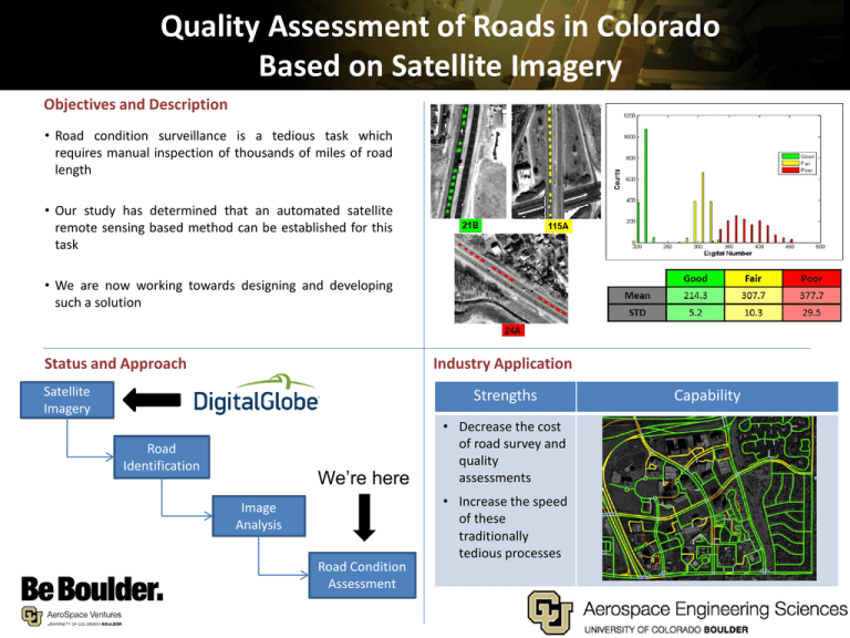
Quality Assessment of Roads in Colorado Based on Satellite Imagery Objectives and Description • Road condition surveillance is a tedious task which requires manual inspection of thousands of miles of road length • Our study has determined that an automated satellite remote sensing based method can be established for this task • We are now working towards designing and developing such a solution Status and Approach Industry Application Satellite Imagery Strengths Road Identification We’re here Image Analysis Road Condition Assessment • Decrease the cost of road survey and quality assessments • Increase the speed of these traditionally tedious processes Capability
