Phase II Environmental Site Assessment ESA - Environmental Site Assessment
advertisement
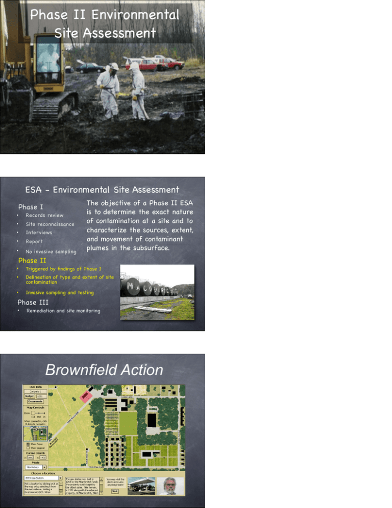
Phase II Environmental Site Assessment ESA - Environmental Site Assessment Phase I • Records review • Site reconnaissance • Inter views • Report • No invasive sampling! The objective of a Phase II ESA is to determine the exact nature of contamination at a site and to characterize the sources, extent, and movement of contaminant plumes in the subsurface. Phase II • Triggered by findings of Phase I • Delineation of type and extent of site contamination • Invasive sampling and testing Phase III • Remediation and site monitoring Brownfield Action Phase II BA Tools Invasive: Drilling / Push Excavation Non-Invasive: Ground Penetrating Radar (GPR) Magnetometry / Metal Detection (MMD) Seismic Reflection and Refraction (SRR) Topographic Survey (TS) Drilling / Direct Push Direct sampling of groundwater at multiple levels. Elevation of the water table. Elevation of the bedrock surface. Groundwater samples can be analyzed for hydrocarbons or for tritium. Push is cheaper than drilling, but limited to a depth of 100 ft below the surface. Ground Penetrating Radar (GPR) Detects disturbances and objects in the subsurface along a 100 ft transect. Useful for detecting USTs, buried drums, dry wells (disturbed soil), fill areas. Magnetometry and Metal Detection (MMR) Detects metal objects in the subsurface within a 10 square ft area. Useful for locating buried drums, USTs, and buried pipelines. Excavation Excavation of a 10 ft by 10 ft square hole. Description of soil and any objects encountered. Useful for confirming the identify of objects detected using GPR or MMR. Soil Gas Sampling and Analysis (SGSA) Sampling of soil gas to a depth of 10 ft in the zone of aeration (vadose zone). Detects hexane - a major component of gasoline. Gasoline floats on groundwater and pools in the vadose zone, emitting vapors. Seismic Reflection and Refraction (SRR) Provides the elevation of bedrock at points every 10 ft along a transect. DNAPLE contaminants (more dense than water) sink and pool in bedrock lows. Each transect is a maximum of 230 ft. Useful for creating a map of the bedrock surface (base of the aquifer). Topographic Survey Tool (SRR) Provides the elevation of the land surface at a point. Useful for estimating the shape of the water table. Depth of the water table below surface can be confirmed by drill / push. Testing is expensive. Plan ahead. Choose your testing locations carefully based on the map grid and Phase I intelligence. Use non-invasive tests first - they are cheaper. Locate potential sources of contamination (product). Start groundwater sampling at potential source points for contaminant. Once detected, fan out in the direction of groundwater flow. Take careful notes and tabulate all results as they come in. Plot results on map grid. Use separate sheets for different types of data.


