David J Wald Real-time seismology and geospatial aspects earthquake
advertisement

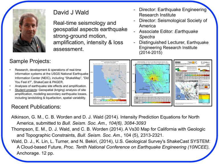
David J Wald ! Real-time seismology and geospatial aspects earthquake strong-ground motion, amplification, intensity & loss assessment. - Director: Earthquake Engineering Research Institute - Director: Seismological Society of America - Associate Editor: Earthquake Spectra - Distinguished Lecturer, Earthquake Engineering Research Institute (2014-2015) Sample Projects: CISN ShakeMap : 6.7 km (4.2 mi) NW of American Canyon, CA Aug 24, 2014 10:20:44 AM UTC M 6.0 N38.21 W122.32 Depth: 10.8km ID:72282711 M 6.0, 6.7 km (4.2 mi) NW of American Canyon, CA Created: 18 minutes, 35 seconds after earthquake Estimated Fatalities • • • Research, development & operations of real-time information systems at the USGS National Earthquake Information Center (NEIC), including “ShakeMap”, “Did You Feel it?”, ShakeCast & PAGER. Analyses of earthquake site effects and amplification. Student projects: Geospatial (kriging) analysis of site amplification, modeling secondary earthquake losses, including landsliding & liquefaction, spatial variability. Recent Publications: PAGER Version 2 Origin Time: Sun 2014-08-24 10:20:44 UTC (03:20:44 local) o o Location: 38.21 N 122.32 W Depth: 10 km 39˚ Orange alert level for economic losses. Significant damage is likely and the disaster is potentially widespread. Estimated economic losses are less than 1% of GDP of the United States. Past events with this alert level have required a regional or national level response. Cloverdale Roseville Estimated Economic Losses Green alert level for shaking-related fatalities. There is a low likelihood of casualties. Sacramento 38.5˚ Estimated Population Exposed to Earthquake Shaking ESTIMATED POPULATION EXPOSURE (k = x1000) Santa Rosa - -* 880k* 6,531k* 919k Not felt Weak Light Moderate Very Strong Severe none none none V. Light Light Moderate Moderate/Heavy Heavy V. Heavy none none none Light Moderate 374k Moderate/Heavy 105k Heavy 4k V. Heavy 0 0 Violent Extreme V. Heavy ESTIMATED MODIFIED MERCALLI INTENSITY Vacaville PERCEIVED SHAKING POTENTIAL DAMAGE Resistant Structures Vulnerable Structures Strong *Estimated exposure only includes population within the map area. Lodi Vallejo 38˚ San Rafael Population Exposure population per ~1 sq. km from Landscan Stockton Structures: Overall, the population in this region resides in structures that are highly resistant to earthquake shaking, though some vulnerable structures exist. Historical Earthquakes (with MMI levels): San Francisco Date Dist. Mag. Max Shaking (UTC) (km) MMI(#) Deaths 1983-05-02 284 5.7 VIII(1k) 0 1980-01-24 76 5.8 VII(31k) 1 1989-10-18 132 6.9 IX(3k) 62 Recent earthquakes in this area have caused secondary hazards such as landslides and liquefaction that might have contributed to losses. Tracy km 0 37.5˚ Fremont 50 Selected City Exposure −123˚ from GeoNames.org −122˚ MMI City VII American Canyon VII Napa VII Suisun VI Sonoma VI Benicia VI Fairfield IV Sacramento IV Stockton IV San Francisco IV Oakland III Fremont Map Version 2 Processed 2014−08−24 10:37:18 AM UTC PERCEIVED SHAKING POTENTIAL DAMAGE Not felt Weak Light Moderate Strong Very strong Extreme Mod./Heavy Heavy Very Heavy none none none Very light PEAK ACC.(%g) <0.1 0.5 2.4 6.7 83 >156 <0.07 0.4 1.9 5.8 11 22 43 83 >160 IV V VI VII VIII IX X+ 13 Moderate Violent PEAK VEL.(cm/s) INSTRUMENTAL I II−III INTENSITY Scale based upon Wald, et al.; 1999 Light Severe 24 44 PAGER content is automatically generated, and only considers losses due to structural damage. Limitations of input data, shaking estimates, and loss models may add uncertainty. http://earthquake.usgs.gov/pager bold cities appear on map Population 19k 77k 28k 11k 27k 105k 466k 292k 805k 391k 214k (k = x1000) Event ID: nc72282711 Atkinson, G. M., C. B. Worden and D. J. Wald (2014). Intensity Prediction Equations for North America, submitted to Bull. Seism. Soc. Am., 104(6), 3084-3093 Thompson, E. M., D. J. Wald, and C. B. Worden (2014). A Vs30 Map for California with Geologic and Topographic Constraints, Bull. Seism. Soc. Am., 104 (5), 2313-2321. Wald, D. J., K. Lin, L. Turner, and N. Bekiri, (2014), U.S. Geological Survey's ShakeCast SYSTEM: A Cloud-based Future, Proc. Tenth National Conference on Earthquake Engineering (10NCEE), Anchorage. 12 pp.


