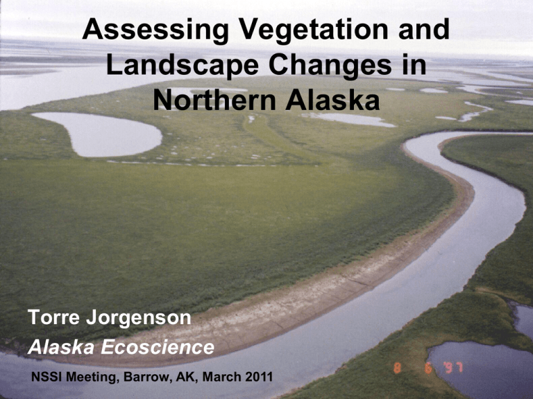
Assessing Vegetation and Landscape Changes in Northern Alaska Torre Jorgenson
advertisement

Assessing Vegetation and Landscape Changes in Northern Alaska Torre Jorgenson Alaska Ecoscience NSSI Meeting, Barrow, AK, March 2011 Assessment Approach • Ecological Classification and Mapping • Field Observations and Monitoring • Historical Landscape Change and Paleoecological Analyses • Remote Sensing • Modeling and Predictions Development of Vegetation Maps for Northern Alaska Komarkova. 1979. Vegetation Maps of Atkasook Walker et al. 1980. Geobotanical Atlas of Prudhoe Bay Based on detail vegetation sampling and numerical classification Manual photo-interpretation of airphotos Baseline Ecological Mapping for Oil Development Jorgenson et al. 2003. Ecological Classification and Mapping, NPRA and others Based on field surveys, numerical classification, and airphoto interpretation for CPAI Ecosystems of Northern Alaska Compilation of four existing landcover maps Rule-based modeling to standardize maps and better differentiate ecosystems Based on detailed, ground-based ecological classifications Jorgenson and Heiner. 2004. For Nature Conservancy Circumarctic Circumpolar Arctic Vegetation Vegetation Map Map Walker et al. 2003 Development of New Landcover Map Guyer et al. 2010. NSSI Land Cover Project Annual Report Involves: BLM, Ducks Unlimited, Natural Heritage Program, NRCS Patterns of Vegetation and Landscape Change Thaw Lake Development and Drainage Thaw lakes in terrain with very high ice contents Channel migration eventually taps thaw lake Thermokarst Thermokarst Pits Ice wedges occupy 20-40% of older terrain units Hydrologic Reorganization Related to Thermokarst Flooded Pits Drying Highcentered Polygons Pond Drying? Recent analysis by Anna Liljedahl Indicates ponds will not dry up from increased evaporation associated with climate warming; snowmelt will continue to recharge ponds, Figure by Amy Tidwell in Martin et al. 2010 Wildreach Shrub Expansion From: Sturm et al. Science 2003. Floodplains as Migration Corridors Alder on rims of low-centered polygons, lower Colville River Cottonwood potentially could quickly colonize floodplains Wet Sedge - NPRA -11C Shift in Species Composition -6C Bog Meadow – Seward Peninsula In filling by Sphagnum peat-mosses, more acidic, nutrient poor, lower forage quality, reduced aquatic invertebrates, reduced waterbird habitat, reduced caribou forage NPRA MAAT = -12 C High resilience of Tussock Tundra MAAT = -6 C Seward Peninsula MAAT = +2 C King Salmon Vegetation on strongly acidic, nutrient poor soils don’t have much potential for reorganization Coastal Erosion and Flooding Colville River Delta Cape Halkett region Extremely ice-rich glaciomarine deposits Salt-killed Tundra Some Vegetation Monitoring Sites Barrow IBP-IPY CPAI Seismic ANWR LTEM and Seismic BP and Walker BLM Seismic NPS Veg and Lichen Plots Anaktuvuk Fire Landsat Mosaic (1977-1986) • • • Numerous monitoring projects ongoing or abandoned Need to inventory monitoring plots Establish a coordinated network for data management and analysis (e.g., GLORIA, ITEX) Toolik LTER FWS Gloria Site, Atigun Photo by Janet Jorgenson Village-based Monitoring of Coastal Changes Students Teachers Elders Scientists Barrow Kaktovik Lab Exercises Nuiqsut Joeb Woods Historical Analysis of Change: Time-Series Analysis Hinkel et al. 2007. Thaw lake drainage on Arctic Coastal Plain Remote Sensing of Vegetation Change (NDVI) Verbyla. 2008. Greening and Browning of Alaska Raynolds et al. 2010. Changes in Tundra Vegetation over 22-Years at Toolik Lake, NDVI 1985-2007 Linear trends in annual (1982-2003) maximum normalized difference vegetation index (NDVI) Large Research Projects Processed-based studies and modeling Barrow Noatak Anaktuvuk River Biocomplexity Experiment: Tundra Response to Warming and Drying Thermokarst Initiation and Recovery Anaktuvuk Fire Recovery Conclusions • New Landcover map urgently needed and under development • Vegetation change varies by landscape and driving factors: climate warming, hydrologic changes, permafrost degradation, lake drainage, coastal erosion and flooding, floodplain dynamics, plant migration, fire • Need both field-based monitoring and remote sensing • Monitoring needs to be coordinated • Village-based monitoring helps both scientists and local communities • Ecological modeling incorporating field research will help predict future change


