Geography Concepts Where is it? Why is it there? Introduction Geography is about
advertisement
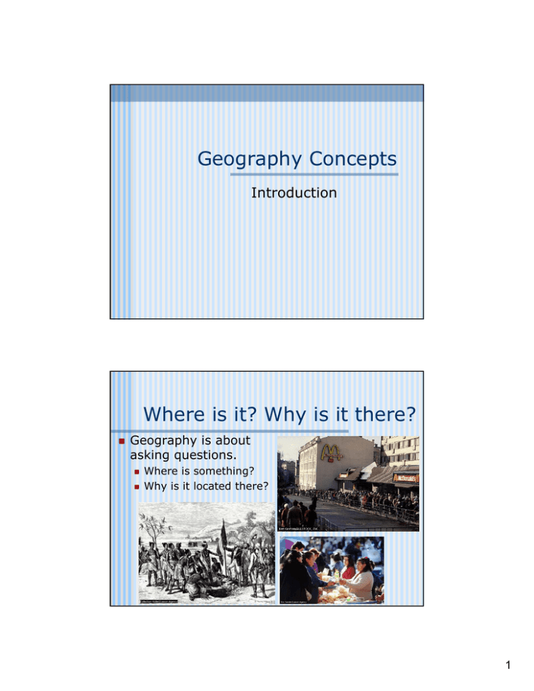
Geography Concepts Introduction Where is it? Why is it there? Geography is about asking questions. Where is something? Why is it located there? 1 Physical Geography and Human Geography are two great branches of the discipline Environmental geography is emerging as a link between the two “5 Themes” or “6 Essential Elements”? Geography is always about: spatial relationships The “5 Themes” Location Interaction between humans and the environment Regions Place Movement and the landscape The “6 Essentials” The world in spatial terms Places and regions Physical systems Human systems Environment and society Uses of geography 2 Maps: the toolbox of geographers Maps are used to portray spatial ideas: • The distinctive character of places • Their relationship to environmental issues • The movements of people, goods, and ideas • Regions of various types Perceptions matter Peoples perceptions of places and regions are influenced by their individual mental maps as well as by printed maps and other information How did our perceptions of the world, solar system, and universe change after the voyages of Magellan or Neil Armstrong? 3 Remember, no matter where you go… There you are! Tools of Geographers What tools do geographers use to investigate the world? Maps Data • This can come from a wide variety of sources Other tools? What do geographers think about? Space Place Region Scale Connections 4 The Five Themes of Geography Location Place Environment Movement Region Location The “where and why” of geography http://www-user.tu-chemnitz.de/~gropp/fotos/istanbul.jpg Absolute location Relative location Site and situation 5 Absolute location The exact position on the earth’s surface Grid system Latitude (E/W) Longitude (N/S) Absolute locations do not change in their degrees of latitude and longitude Relative location The position of a place or point on Earth’s surface in relation to other locations Relative locations can change as surrounding environments change Boston’s Old State House in 1990 and 1713 6 Place Physical and human characteristics distinguish it from other places Landforms, climates, vegetation, natural resources, patterns of human settlement and human characteristics 7 Environment “Surroundings” How did human activity change the environment of the Great Plains? Human activity modifies environments How people change environments depends on their: • • • • • Beliefs Ideas Economy Social organization Technology Movement The study of interactions among people and other life forms located in different places and different environments Migration Transport Spread of ideas 8 migration transportation spread of ideas Region Parts of earth’s surface that share one or more characteristics that distinguish them from surrounding areas Characteristics of regions differ greatly Regions can play an important role in influencing the development of cultures Based on culture, economy, religion, or environment They can be large or small and part of other regions 9 The Big Picture: Earth The Earth in Space Third planet from sun About 2/3 or 70% of area of planet covered by water Daily rotation causes day/night Earth revolves around sun (365.25 days/per revolution) 10 The Structure of the Earth Planet is made up of layers of molten material and minerals Thin hard crustal plates move over liquid mantle Energy from the mantle drives plate movement and helps warm surface Rotation 11 Night and Day… The circle of illumination is an imaginary line that separates the lighted half from the darkened half of the planet The line moves as the planet rotates We experience dawn and dusk as the line moves over us Seasons Seasons are caused by Regions further away from the equator experience more significant seasons Earth’s tilt Earth’s revolution around the sun These areas have greater oblique angle rays of the sun Equinoxes and solstices 12 http://starsoverkansas.org/images/_earthseasons.jpg http://www.physci.wsc.ma.edu/young/ast/exams/examimages/02f/exam4/seasons.jpg Global Latitude Regions Equatorial Tropical Sub-tropical Temperate Arctic Polar 13 Going to the Tropics? Low latitudes or Tropics Between the Tropic of Cancer (23½ degrees north) and the Tropic of Capricorn (23½ degrees south) Furthest points from the equator that receive vertical sunlight Tropical regions are usually warmer and don’t have significant seasons The Middle Latitudes Temperate regions Regions located between the tropics and the polar regions Pronounced seasons winter,spring, summer, and fall A Wheatfield, with Cypresses; by van Gough 14 Polar regions From the north pole to the Arctic Polar Circle (66½ degrees north) From the south pole to the Antarctic Polar Circle (66½ degrees south) These regions have light and dark seasons for 6 months a year Midnight Sun in Norway Learning to Read a Map Again, geographers are asking questions… What is the map of? From what point of view are we seeing the information? When was the map made? Who made it? What do the different symbols mean? What is the size represented on the map? How can we find a specific item on a map? (like a city or a road?) What will we use to locate the items on the map? (using the grid and index) 15 How do we show a round image on a flat surface? Only true map is a globe Map projections A grid of lines projected onto one of several geometrical surfaces All projections will distort Area Shape Distance Direction Only degrees of latitude and longitude are correct on all maps Mapping the planet: latitudes and longitudes Latitudes are imaginary lines drawn on globes to show distances north and south of the equator Equator = 0 degrees There are 90 degrees of latitude in each hemisphere Lines of latitude are also called parallels Longitudes are imaginary lines drawn on globes to show distances east and west of the Prime Meridian There are 180 degrees of longitude in each hemisphere The Prime Meridian is 0 degrees longitude Greenwich, England Lines of longitude are also called meridians 16 Different types of map projections Equal-area projections Conformal projections Goode’s Homosline Projection Correct area (although shape and distance may be distorted) Show true shape for a limited area Equidistant projections Show distance accurately from one or two points 17 Map projections Cylindrical projection Gerhardus Mercator in the 1500’s Every straight line is a line of true direction Important for plotting courses and navigation Azimuthal and Conic projections Conic projections show hemisphere or smaller areas Azimuthal projections measure equal distance from its central point to any other point http://www.geometrie.tuwien.ac.at/karto/norm07.gif http://www.fes.uwaterloo.ca/crs/geog165/images/az_eqdist.gif 18 Cartograms A cartogram assigns an area (size) to a particular region based on some value other than land-surface area. Very helpful when visually comparing data 19 TODALSig Parts of a map Theme Orientation Date Author Legend Scale • Index • Grid 20 Geographic Information Systems GIS uses layers of spatial data superimposed upon one another GIS involves the three disciplines of computer science, geography and cartography GIS has real world applications Surveying Computer cartography Spatial statistics Remote sensing Other applications for GIS Urban planning Environmental impacts • Population and land use Thinking About Space Distribution Density Concentration Pattern American Suburbia Central Park, NYC 21
