LA 490E Cathy S. Brown Independent Study––Resource Analysis Winter 1979
advertisement
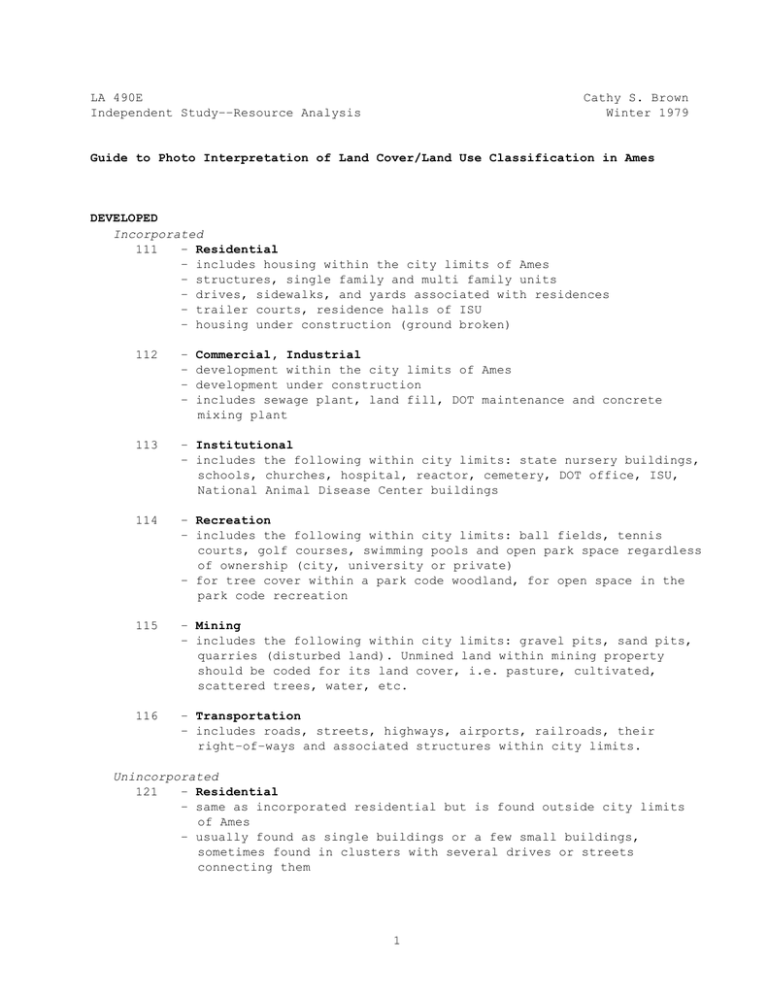
LA 490E Independent Study––Resource Analysis Cathy S. Brown Winter 1979 Guide to Photo Interpretation of Land Cover/Land Use Classification in Ames DEVELOPED Incorporated 111 – Residential – includes housing within the city limits of Ames – structures, single family and multi family units – drives, sidewalks, and yards associated with residences – trailer courts, residence halls of ISU – housing under construction (ground broken) 112 – – – – Commercial, Industrial development within the city limits of Ames development under construction includes sewage plant, land fill, DOT maintenance and concrete mixing plant 113 – Institutional – includes the following within city limits: state nursery buildings, schools, churches, hospital, reactor, cemetery, DOT office, ISU, National Animal Disease Center buildings 114 – Recreation – includes the following within city limits: ball fields, tennis courts, golf courses, swimming pools and open park space regardless of ownership (city, university or private) – for tree cover within a park code woodland, for open space in the park code recreation 115 – Mining – includes the following within city limits: gravel pits, sand pits, quarries (disturbed land). Unmined land within mining property should be coded for its land cover, i.e. pasture, cultivated, scattered trees, water, etc. 116 – Transportation – includes roads, streets, highways, airports, railroads, their right–of–ways and associated structures within city limits. Unincorporated 121 – Residential – same as incorporated residential but is found outside city limits of Ames – usually found as single buildings or a few small buildings, sometimes found in clusters with several drives or streets connecting them 1 122 – Commercial, Industrial – same as incorporated commercial, industrial but is found outside city limits of Ames – also includes radio towers 123 – Institutional – same as incorporated institutional but is found outside city limits of Ames 124 – Recreation – same as incorporated recreation but is found outside city limits of Ames 125 – Mining – same as incorporated mining but is found outside city limits of Ames 126 – Transportation – same as incorporated transportation but is found outside city limits of Ames – open space, ditch, or interchange in highway right–of–way also coded as transportation AGRICULTURAL Note: code land cover––not ownership. For example, institutionally owned land (i.e. ISU, Disease Center) used for pasture or crops should be coded as pasture or cultivated respectively. 211 – Farm buildings and yards – typically clustered buildings with drive, yard and often a windbreak – can be within city limits – includes National Animal Disease Center structures that house animals 212 – Cultivated – typically regular shaped fields, usually of the same texture but color and tone can vary within a field – usually large in size (in comparison to other land cover types) 213 – Pasture – usually found following old river terraces, along steep banks, between floodplain and upper terrace, on rough mottled land – sometimes has scattered trees or individual trees within (which should be coded as scattered trees) – sometimes contains water drainageway, creek, or river – usually found near farm buildings 215 – Tree Planting – includes nurseries or research work inside and outside city limits – for commercial nurseries, code plants as tree plantings and buildings as commercial 2 216 – Old Field – land formerly pastured or cultivated but is now idle, found inside or outside city limits of Ames FOREST Note: Code land cover type, not ownership (ownership might be institutional but woodland cover types should be coded woodland) 311 – Woodland – greater than 25% crown cover density (the distance between crowns is less than crown diameter) – usually found along river channels on steep slopes – includes park land with heavy tree cover 312 – Scattered Trees – includes fence rows, pastures with trees at 5–25% crown cover density – typically found where woodland or river channel tree cover thins into cultivated fields or pasture GRASSLAND 411 412 – Prairie Remnant – either prairie remnant left in original state or a reestablished, seeded prairie – includes xeric (upland dry) prairie, mesic (lowland) prairie, hydric (wet) prairie, and pothole prairie. – Marsh – if emergent vegetation is dominant over water, code as marsh – if water is dominant over emergent vegetation, then code as pond/lake WATER Note: appears as irregular often dark tones on photographs 511 – Stream – includes, river, creek and drainage ditch 512 – Pond/Lake – includes farm ponds, ponds and lakes – stable pool level 513 – Reservoir – includes reservoirs and man–made water storage such as mining pit water, sewage treatment lagoons and settling ponds. – managed or fluctuating pool level 3
