Fitzgerald Chapter - Ancient Egypt and Nubia Section
advertisement
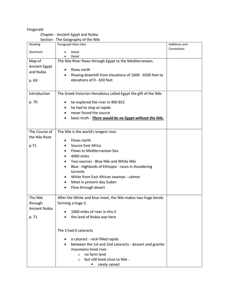
Fitzgerald Chapter - Ancient Egypt and Nubia Section - The Geography of the Nile Heading Questions Map of Ancient Egypt and Nubia Paragraph Main Idea The Nile River flows through Egypt to the Mediterranean. p. 69 Introduction p. 70 The Course of the Nile River p.71 p. 71 flows north flowing downhill from elevations of 1600 - 6500 feet to elevations of 0 - 650 feet The Greek historian Herodotus called Egypt the gift of the Nile. he explored the river in 400 BCE he had to stop at rapids never found the source basic truth - There would be no Egypt without the Nile. The Nile is the world's longest river. The Nile through Ancient Nubia Detail Detail Flows north Source East Africa Flows to Mediterranean Sea 4000 miles Two sources - Blue Nile and White Nile Blue - highlands of Ethiopia - races in thundering torrents White from East African swamps - calmer Meet in present-day Sudan Flow through desert After the White and blue meet, the Nile makes two huge bends forming a huge S. 1000 miles of river in this S the land of Nubia was here The S had 6 cataracts a cataract - rock-filled rapids between the 1st and 2nd cataracts - dessert and granite mountains lined river o no farm land o but still lived close to Nile rarely rained Additions and Corrections o called Lower Nubia Last 4 cataracts - Upper Nubia still very little farmland only 2 miles on each side of river but did rain so could plant The Nile Through Ancient Egypt p.72 Ancient Egypt from First Cataract to Mediterranean 700 miles Upper Egypt - narrow fertile land 6 miles on either side of river Lower Egypt - wider fertile marshy area in north deserts on both sides after fertile land Near Mediterranean, at mouth, forms delta. The Gifts of the Nile p.72 Black Land and Red Land p. 73 rivers split into streams as reach sea level streams take different paths down to sea form a triangular area - Greek letter "delta" looks like triangle Waters rush in Spring and carry rich fertile sediment called silt. deposits silt when spills over its banks makes land ideal for farming Egyptians called rich soil along river "Kemet," the black land. because of dark soil left by Nile floods timing and height of floods could vary but no worries of sudden (flash) floods dry years rare - but could cause famine Land beyond fertile soil called "red land" Desert Protection p. 73 red land = desert Sahara Desert to west Eastern Desert to east (also part of Sahara) not friendly to human life o useless for farming o only traveled by those who knew it very well Deserts formed a protection Mesopotamia did not have Hot sands of Sahara like a shield Mesopotamia invaded often In 2000 years Egypt faced few invasions Draw picture here The Growth of Communities and Trade Along the Nile p. 74 Living Along the Nile p.74 Not isolated though - Nile connects to Central Africa Mediterranean and Red Sea to Southwest Asia (Mesopotamia) Settlement in area began 600 BCE First settled hunting and fishing communities in Nubia Then farming communities in Nubia ad Egypt in 5000 BCE Trade grew with communities Communities along fertile banks In delta and fertile valley Later in Upper Egypt Homes of bricks made from mud and straw Nubians must add to diet because have less farmland A Highway of Trade p.75 Fish Ducks and other birds along bank Transport goods along Nile Routes through Nubia Ships can go north and south on Nile - ADD - THIS IS RARE!!! o north - downstream o south - sail with prevailing winds Caravans also go across Eastern Desert to Red Sea ports or Mesopotamia Export - gold, silver, copper, fine pottery Import o cedar wood from Phoenicia across Mediterranean o gold through Nubia goods sold in marketplaces - called bazaars Nubia can only trade by land due to cataracts still famous traders because in the middle Connect goods between Central Africa and Egypt and Mesopotamia One famous caravan had 300 donkeys Carried ebony wood, elephant ivory, otrich feathers and eggs, and panther skins Other popular object - African boomerang used for hunting
