Geography_Vocab_Power_Point
advertisement
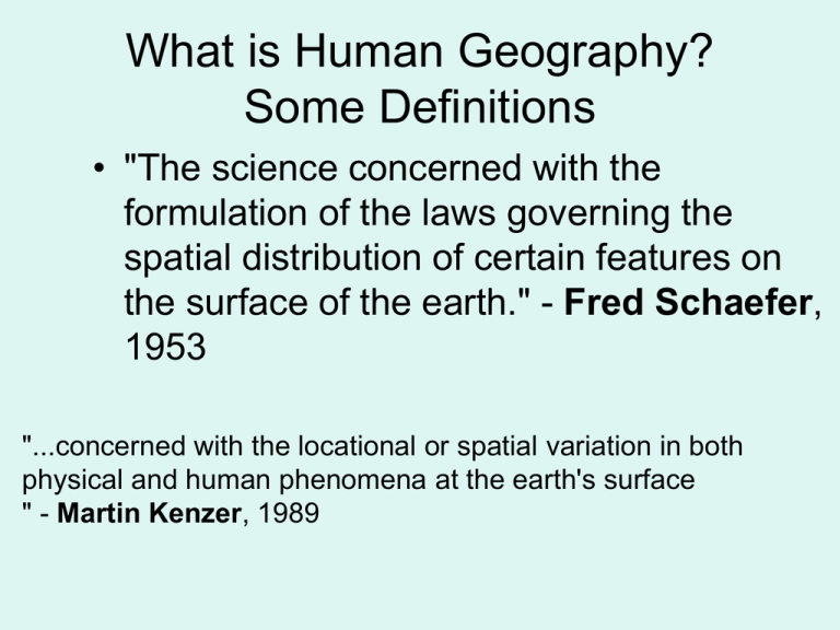
What is Human Geography? Some Definitions • "The science concerned with the formulation of the laws governing the spatial distribution of certain features on the surface of the earth." - Fred Schaefer, 1953 "...concerned with the locational or spatial variation in both physical and human phenomena at the earth's surface " - Martin Kenzer, 1989 More Definitions • "Geography is the study of earth as the home of people" - Yi-Fu Tuan, 1991 "Geography is the study of the patterns and processes of human (built) and environmental (natural) landscapes, where landscapes comprise real (objective) and perceived (subjective) space." Gregg Wassmansdorf, 1995 More Definitions • a social science that focuses on the spatial distribution of human and physical phenomena; • the study of the physical world, its inhabitants, the interaction between the two, and the patterns and systems involved; • the world and all that is in it; • the study of pattern and processes asociated with the earth; • the study of relationships between humans and their environment by emphasizing a spatial and environmental perspective at a variety of scales; Goals of this class: • Start thinking more from a spatial perspective. Where? And Why? • Understand the impact humans have on the physical and cultural landscape. • Understand the impact various landscapes have on people. • Learn about specific areas of the world through a spatial perspective. Geography Vocabulary • Words that help a geographer describe the spatial dimensions of earth and its people. Distribution • The arrangement of a feature in space. • Where mountains are on planet earth Density • The frequency with which something occurs in space. • How many cattle and calves are in a certain area. Concentration • The extent of a features spread over space. • The feature (lakes) could be spread out or close together. • Look at the concentration of lakes in Cass County. Cass County Minnesota Concentration of Lakes Cluster • A feature on earth’s surface is bunched together. • Look at the cluster of cancer deaths for white women in the united states 1950-1969. Dispersed • Features on earths surface are spread out. • Recycling centers are dispersed throughout Cass County. Pattern • Geometric arrangement of objects in space. • Check out the differences between the patterns of streets in Minneapolis and St. Paul. North Minneapolis-Grid Pattern One St. Paul- Street Pattern GIS-Global Information System High performance computer system that processes geographic information in layers on a map. Layers of data are shown here. Toponym • A Name given to a place on earth • Names can indicate many possible characteristics of a place. • They can reveal political, religious, and cultural values of a place. What do these toponyms tell us about this place? Site • The Physical or Cultural characteristics of a place. • Marshy Situation • The location of a place relative to other places. • The situation of a place can impact many things including: business, conflict, recreation and culture. Situation • How is Kurdistan effected by its situation? Region • An area within which everyone shares in common one or more distinctive characteristics. Formal Region • An area with measurable, objective boundaries. Vernacular/Subjective Region • A region that is based on subjective criteria. • What people believe to be a region. • Not easy to measure accurately. Diffusion • The spread of something from an initial point(s) on earth to other places. Rap music diffusion Culture • Body of customs, beliefs and material traits that constitute the distinct tradition of a group of people. Globalization • A force or process which involves making something world-wide in scope. Scale • http://www.hispaniola. com/dominican_repub lic/info/maps_zoom.p hp A progressive classification, as of size. • A proportion used in determining the dimensional relationship of a representation to that which it represents. Cartographers use these terms differently to normal English usage. Cartographers are referring to the relative size of the representative fraction. A large scale map is where the RF is relatively large. An RF of 1:25,000 (1/25,000) is larger than an RF of 1:1,000,000 (1/1,000,000). A large scale map uses more map area to describe a given area on the ground than a small scale map. Many people are initially confused by this terminology as the small scale map shown a much greater area of the ground than a large scale map of the same size. Large Scale Map Smaller scale map than the previous map. What type of region could this be? What type of Region cold this be? What type of region could this be?


