Alberta Environment Surface Weather Stations
advertisement

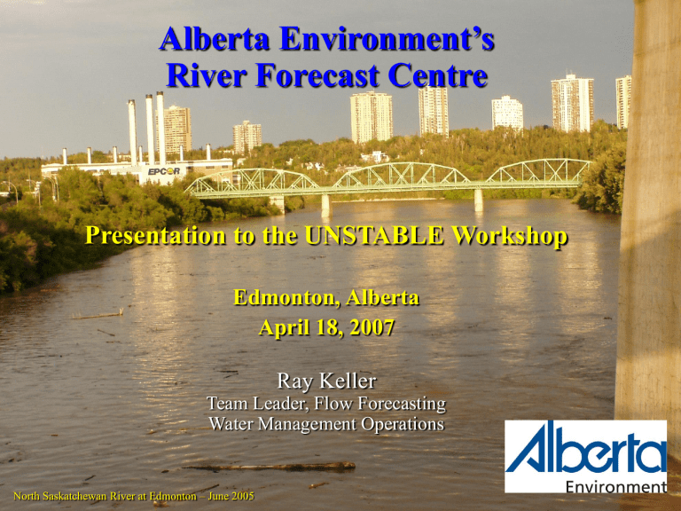
Alberta Environment’s River Forecast Centre Presentation to the UNSTABLE Workshop Edmonton, Alberta April 18, 2007 Ray Keller Team Leader, Flow Forecasting Water Management Operations North Saskatchewan River at Edmonton – June 2005 What River Forecasting Does 1. 2. 3. 4. 5. Real-time monitoring and reporting Water Management Infrastructure Management Water Supply Forecasting Flood Forecasting 1. What do we monitor and report? Real-time data • Stream levels and flows • Lake and reservoir levels • Precipitation • Snowpack • Temperature, wind, humidity • Water quality Data Networks • Over 350 Hydrometric Stations (Water Levels/Flows) • Over 420 Meteorologic Stations • (AENV, EC, AAFRD, TransAlta, SRD) • 117 Snow Course Locations • 15 Automated Snow Pillows Most stations (except snow courses) report hourly data Currently takes two man days per day to QA/QC real-time data Real-time Hydrometric Stations • Over 350 currently • Stream, lake, reservoir levels • Satellite/phone links Real-time Meteorological Stations ~ 218 Federal and Provincial Hourly Data • Precipitation • Temperature • Relative humidity • Wind speed NO RT H W EST T ERRI T O RI ES AL BERT A Forestry Meteorological Stations Lake Ath a b a s c a A L B E RT A Fo r t A L B E RT A S A S K A T CHE W A N M cM ur r ay Pe a c e Riv e r Athabasc a Pea ce B R IT IS H C O L U M B IA River Rive r Hi g h L e v e l G r a n d e Pr a ir ie L e s s e r Sl a v e L a k e Co l d Lake Sas katc hew an Ri v e r • ~ 190 stations • Mostly in north Ed m o n t o n No rth • Most report 2x-daily Ca m ro s e er iv R Jasper Ba tt le Re d De e r Ste ttl e r Pro v o s t Re d De Ba n ff er Ca lg a r y River Bow er Riv River O an m ld L e t h b r id g e U. S. A. M e d ic in e Ha t • Some report 1x-daily Snow Course Sites 46 Mountain 71 Plains Cold Lak e Snow Pillows TWIN LAKES Sa ska t North che wa River n PADDLE RIVER HEADWATERS Edmonton Lloydmins ter r R CAMROSE JASPER Ba e iv ttle STETTLER LIMESTONE PROVOST (new site at South Esk) • 3 Plains Area Sites (new site in Swan Hills) Red Deer Red SKOKI MOUNTAIN De Calgary BANFF • 13 Mountain Sites er River SUNSHINE VILLAGE USES • Snow-on-ground LITTLE ELBOW MT. ODLUM III THREE ISLE LAKE LOST CREEK SOUTH RACE HORSE Medic ine Hat • Melt rates Lethbridge GARDINER HEADWATERS River AKAMINA Milk U. S. A. FLATTOP MANY GLACIER • Snow / Rain indicators How can UNSTABLE help? Variety of Flood Conditions Snowmelt Plains - March - April • Only smaller streams affected (Paddle, Battle, Vermilion, etc) • Ice jams Mountains - May - July • No flooding of major rivers by mountain snowmelt alone Rainfall • Affects all rivers in Alberta • Flooding along major rivers is caused by heavy rainfall or heavy rainfall during mountain snowmelt Oldman River at Lethbridge – June 2005 Contributions to UNSTABLE • Current meteorological sites in area • Proposed new sites for 2008 (approx. location) Opportunities • Alberta Environment will share all data in area • Opportunity to put additional sensors at existing locations if required • Very interested in results of study • AENV is heavily reliant on accurate weather forecasting for their functions Questions? Near Barrhead – March 2007


