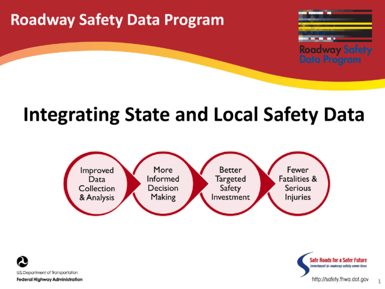
Integrating State and Local Safety Data
advertisement

Roadway Safety Data Program Integrating State and Local Safety Data 1 Integration of State and Local Safety Data Map 21 • Requires States to maintain a database to support analysis of the safety of all public roadways. FHWA • Requires States to maintain an all-publicroads linear referencing system and allpublic-roads basemap. States must undertake projects to collect and integrate local roadway inventory data into a statewide database. 2 Capabilities Assessment - Peer Exchanges • Four regional State peer exchanges • Local data integration identified as a challenge • Data Collection rated 2.6 on 5 point scale, Roadway Data Completeness Element: “Many States attributed their identification of a lower capability due to a lack of complete roadway inventories on locally maintained roadways and fewer roadway inventory elements collected.” 3 What is Transportation Data Integration? • Defined as the art and science of taking data from various sources and combining it all together to provide a unified database • It is a key ingredient for overall information management in transportation organizations • Data integration is essential to transform data into information that is used to support decision making at the various management levels III-4 Objective • The objective of this project is to build on the results of the RSDPCA to develop guidance based on research, case studies, and pilot studies, to help agencies improve the integration of local road data into State systems. Task • • • • Develop Data Integration Case Studies Conduct Local and State Data Integration Pilot Studies Develop a Guide for Integration of Local and State Data Develop strategic plan for further expansion of integration of local data 6 Case Studies Real-world examples: • Challenges • Benefits • Reasons for success/lessons learned • Applicability to other agencies Case studies: Michigan Roadsoft System for Local Roadway Data and Analysis Ohio Location Based Response System Wisconsin information System for Local Roads Tennessee Roadway Information Management System 7 Michigan’s Integration of State and Local Data 8 Michigan’s Data Integration Challenges • Varied capabilities among local agencies. • Interest in preserving local ownership and control. • Lack of consistency in data structures and data definitions. 9 Solution: Michigan Roadsoft System for Local Roadway Data and Analysis • Local agencies maintain separate databases. • CTT provides updates/support. • Similar structure and data definitions. 10 Results • Meets most – not all – local analysis needs. • No software cost for local agencies. • Improves data quality and consistency. 11 Key Findings • Long-term support is key. • Increased functionality increased the user base. • Rapid prototyping is important for this user base. 12 Ohio’s Integration of State and Local Data 13 Ohio’s Data Integration Challenges • No single standard for creating local road maps. • No consistent linear referencing system. • No local address ranges in State road database. 14 Solution: Ohio Location Based Response System • • • • State assigned route numbers and mileposts. Local agencies collected data. Information is available immediately. Digital maps are available within six months. 15 Results • • • • • Road centerline and milepost data improvement. Crash location accuracy. Mapping and data standards consistency. Data collection streamlining. 911 services routing improvement. 16 Key Findings • It is possible to integrate local road addressing and mile posting into a State system. • Good communication is key. 17 Wisconsin’s Integration of State and Local Data 18 Wisconsin’s Data Integration Challenges • • • • Multiple maps. Duplicate/incompatible systems. No linear referencing system for local roads. Lack of local support. 19 Solution: Wisconsin Information System for Local Roads (WISLR) “On/at/towards” linear referencing system. • Local agencies collect/own data. • Centralized system available to all authorized users. 20 Results • • • • Statewide local roadway data consistency. Redundancy reduction. Expanded use. Safety analysis efficiency. 21 Key Findings • • • • Local ownership is key. WisDOT continually invests. Cost-avoidance helps local agencies. Continuous expansion builds the user base. 22 Tennessee’s Integration of State and Local Data 23 Tennessee’s Data Integration Challenges • Majority of serious crashes occurred on local roads. • Lack of/unavailable local data. • Data consistency. 24 Solution: Tennessee Roadway Information Management System • Contractor inventoried local roads and integrated data into TRIMS database. • TDOT developed web-based eTRIMS. 25 Results • • • • Data accuracy. Roadway information access. Data analysis availability. Location data accuracy. 26 Key Findings • • • • Data should be “real time.” Data standards ensure quality. State system updates may be necessary. Data collection efforts should be improved continuously. 27 Pilot Studies • • • • • Navajo Nation: Enterprise GIS Integration & Analysis Rhode Island: Safety Data Integration Assistance Arizona: Safety Data Integration for Safety Analysis Indiana Local Technical Assistance Program Northern Planes Tribal Technical Assistance Program Navajo Nation • Top-Level Objective Integrate safety and roadway data through the creation of an enterprise GIS database in support of transportation safety analysis. • Key Feature Incorporate a web-based system to share data and potentially collect future data. • Expected Outcome Geo-located data to aid in resource management and safety analysis and increased data sharing among stakeholders and neighboring jurisdictions (e.g., internal Navajo enterprises, local agencies, State DOTs, and USDOT). Rhode Island State • Top-Level Objective Integrate safety and roadway data in support of using HSM methodologies to support RIDOT’s reporting to the Highway Safety Improvement Program. • Key Feature Integrate MIRE elements into a format usable for advanced analytical methods. • Expected Outcome A tested protocol for the integration, governance, use, and continued maintenance of safety data for both the State and local agencies. Arizona State • Top-Level Objective Integrate safety and roadway data in support of using HSM methodologies to support RIDOT’s reporting to the Highway Safety Improvement Program. • Key Feature Integrate MIRE elements into a format usable for advanced analytical methods. • Expected Outcome A tested protocol for the integration, governance, use, and continued maintenance of safety data for both the State and local agencies. Indiana and Montana Pilot Studies • Under Development Next Steps • Development of an informational guide – Introduction – Data Management, Governance, Stewardship, Maintenance – Data Integration – Data Collection – Data Analysis and Reporting – Promoting Data Integration • Develop strategic plan for further expansion of integration of local data • Technical Assistance For More Information Contact: Stuart Thompson Federal Highway Administration (202) 366-8090 stuart.thompson@dot.gov State and Local Data Integration http://safety.fhwa.dot.gov/rsdp/data_activities_state.aspx 34


